Örebro län
Firesite
Map
228 Firesite
Vindskydd i Hampetorp
- Municipality: Örebro
- 6730.26 km away from you
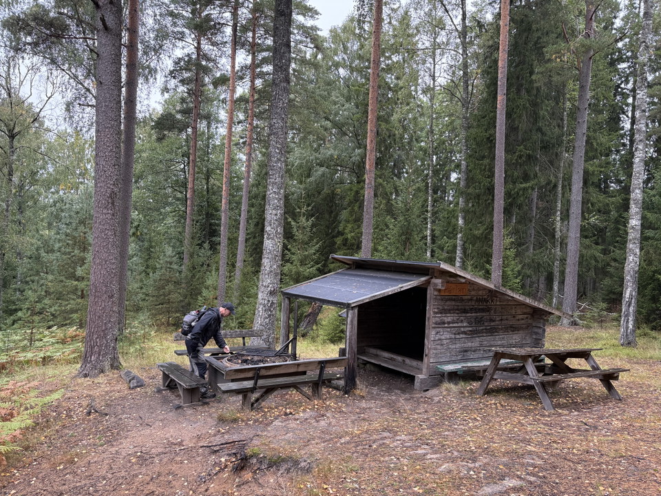
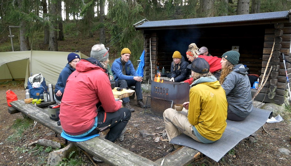
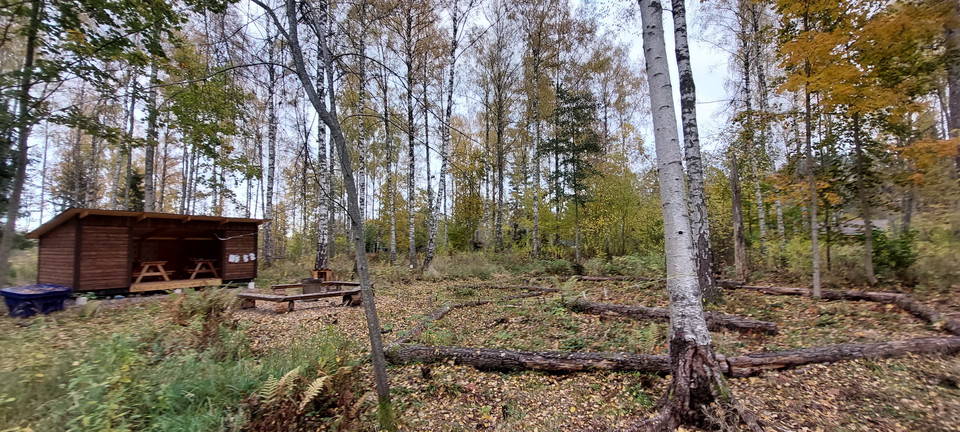
Barbecue area and shelter. You can bring your own firewood here
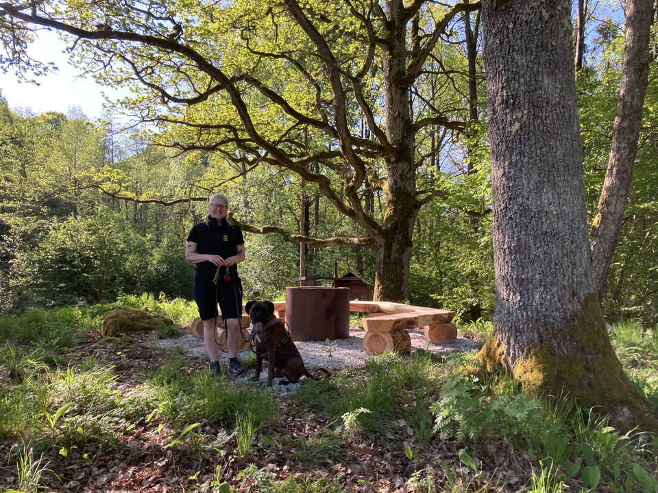
Grillplats Annastigen
- Municipality: Örebro
- 6701.66 km away from you
Among old oaks with lovely views of the pastures.
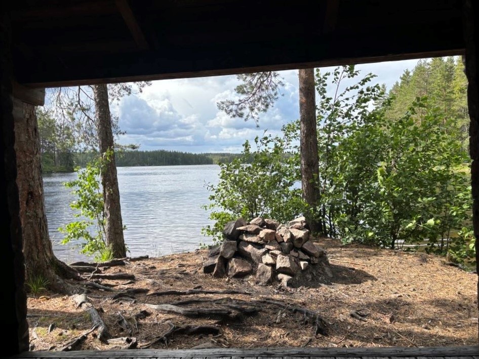
Rastplats Storbergsudden
- Municipality: Lindesberg
- 6668.58 km away from you
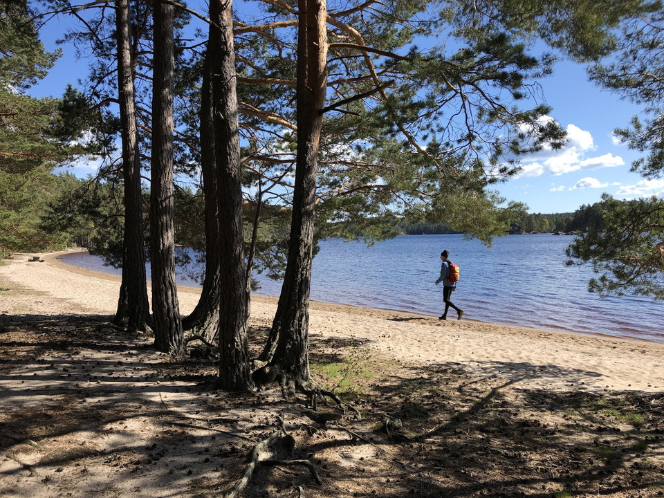
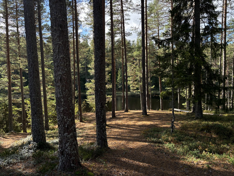
Nicely located rest area along the Malingsbo-Kloten trail and next to Lake Långvattnet. The site is easy to reach via the hike along the trail, via canoeing or by car and bicycle and here are nice resting facilities with shelters and barbecue area to enjoy…
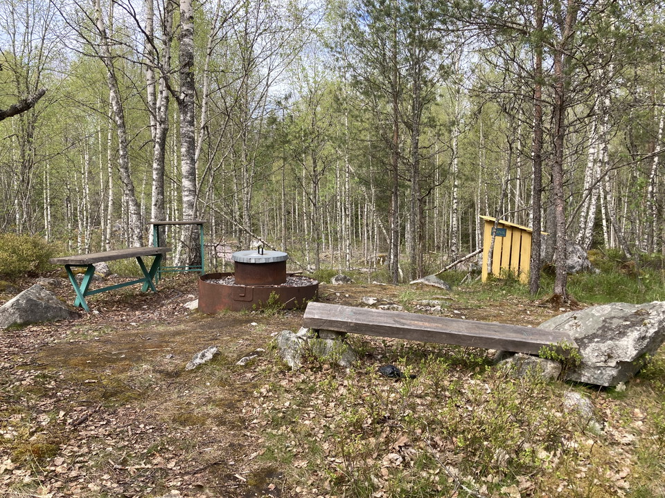
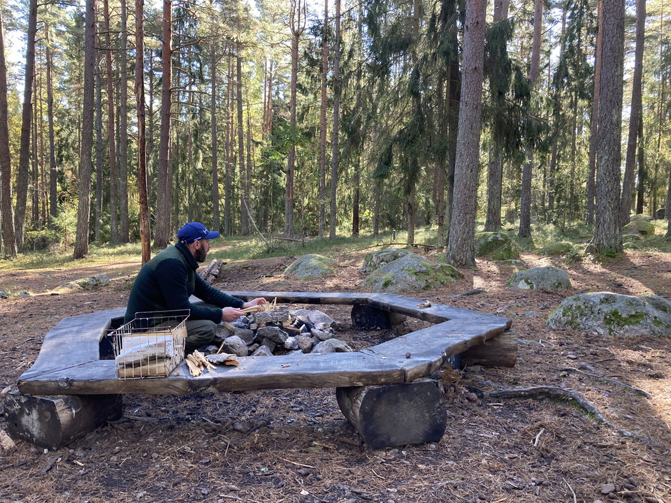
Rastplats Nothusudden
- Municipality: Lindesberg
- 6667.72 km away from you
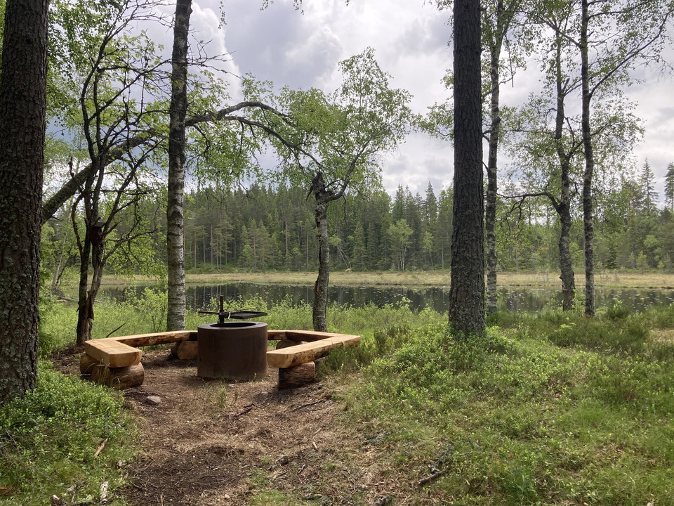
Nicely located rest area next to Långvattnet and Nothuskojan. The place is easy to reach via a short hike from the road or via the hiking trail Malingsbo-Klotenleden. There are nice resting facilities with benches, barbecue area and shelter to enjoy your lu…
Rastplats Stora Djurlången
- Municipality: Lindesberg
- 6672.28 km away from you
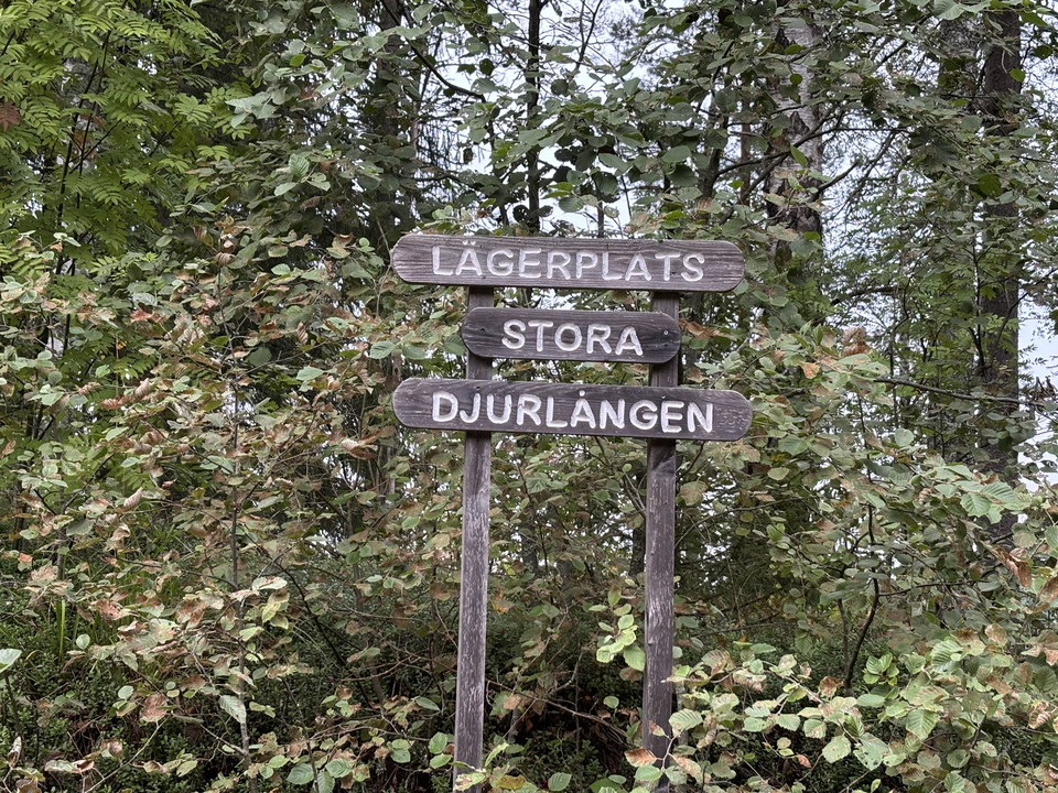
Nicely located camp/rest area next to Stora Djurlången. The site is easy to reach by car and bicycle and there are nice resting facilities with benches and barbecue area to enjoy your lunch. You leave the place as you found it.
S:a Murstenstjärnens rastplats
- Municipality: Lekeberg
- 6680.31 km away from you
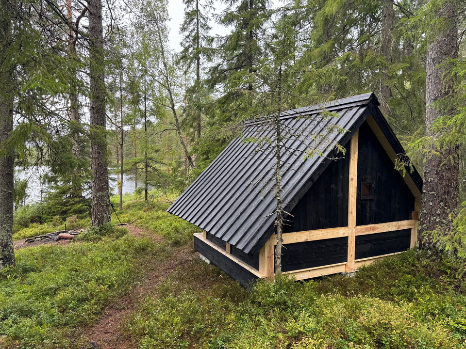
Rest area with architect-designed shelter that differs from our other shelters. There is a fireplace, toilet and wood storage. We are in the Dunderklintarna nature reserve and ask you to be extra careful when burning in the fireplace. Take care of the place…