Jönköpings län

Parking

Map

302 Parking

Entrance

Gislaved, Entrance G1/G2

  • Municipality: Gislaved
  • 6720.32 km away from you

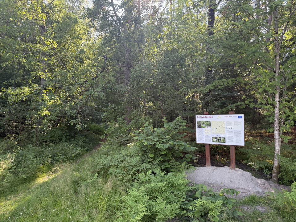
On the outskirts of Gislaved is this trail entrance, which via an axis connection takes you to stages G1 and G2. Via G1 you can get to Hestra and Isaberg's outdoor area and via G2 you walk through the Småland countryside south towards Halland. Gislaved has…
Parking

Parkering Djupadalleden

  • Municipality: Sävsjö
  • 6774.96 km away from you

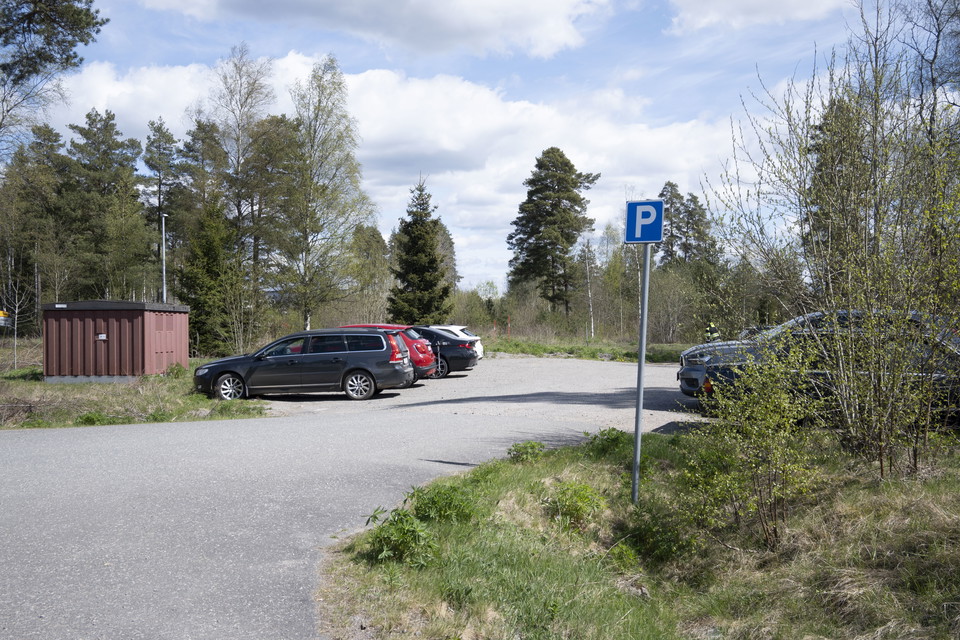
Parking for those who want to visit the Djupadal outdoor area. The parking lot is located right next to the purification ponds with its rich bird life.

Entrance

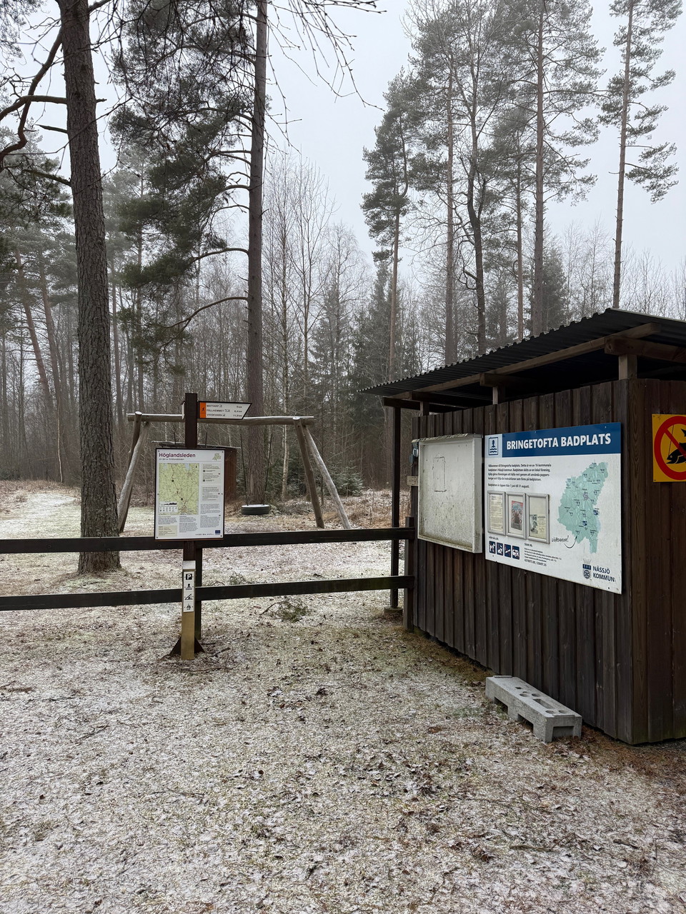
Forsa, entrance HÖ13/HÖ14

  • Municipality: Nässjö
  • 6770.42 km away from you

Here at Bringetofta bathing area, which is also called Forsa, there is parking, windbreak, barbecue area and a bathing area. During the period June 1 - August 31 there are also dry toilets.

Entrance

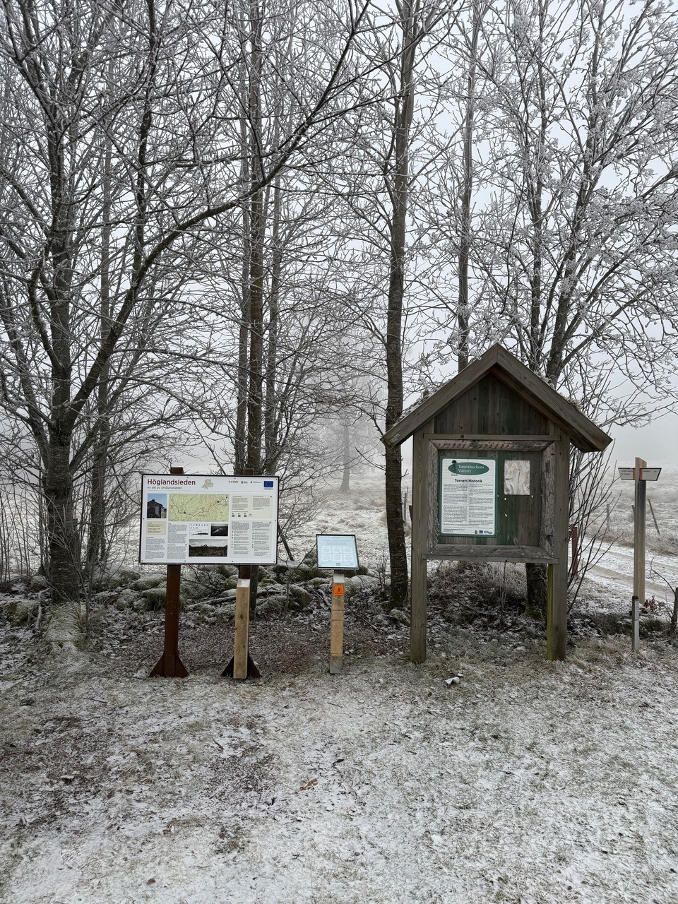
Tomtabacken, entrence HÖ18/HÖ19

  • Municipality: Nässjö
  • 6758.43 km away from you

Tomtabacken is Götaland's highest point with fantastic views! At this trail entrance there is plenty of space for parking. There is an accessible toilet in the connection to the trail entrance. Just a few hundred meters from the entrance there is a shelter…

Entrance

Tegnértornet, entrance HO1

  • Municipality: Jönköpings kommun
  • 6730.94 km away from you

The Tegnértornet trail entrance can be reached by car by turning off highway 133 east of the E4 and following the road for about 1.5 km. Alternatively, you can go to the Grännaberget trail entrance and walk to this entrance, about 1 km. From the parking lot…

Entrance

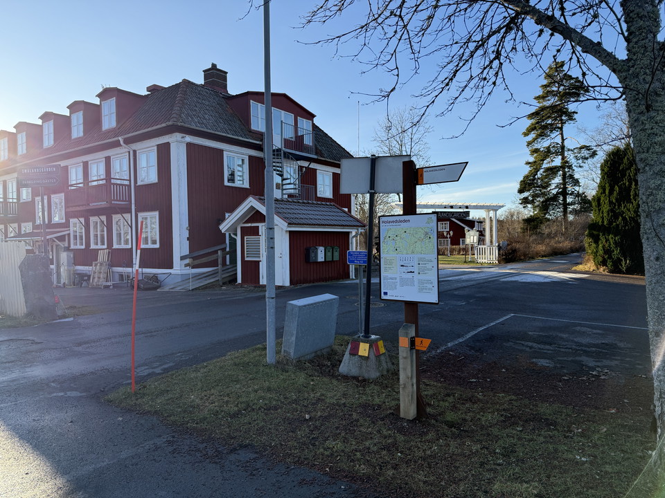
Smålandsgården, entrance A1/HO1/HO2

  • Municipality: Jönköpings kommun
  • 6736.55 km away from you

In Örserum there are two accommodation facilities, Smålandsgården and Örserums brunn. This trail entrance is located right in between these accommodations with a restaurant. Here you can finish or start your hike or maybe take a day trip. You reach Holaveds…

Entrance

Öxnegården, entrance SV4

  • Municipality: Jönköpings kommun
  • 6732.71 km away from you

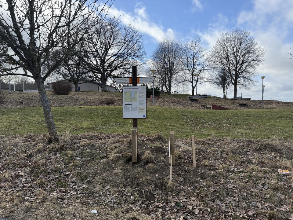
Öxnegården is a meeting point for outdoor recreation and there is a connection to Södra Vätterleden stage SV4. Öxnegården is located at the foot of Bondberget, which is a nature reserve with several places where there are barbecue areas and tables. There ar…

Entrance

Bunn (Bauergården), entrance JB2/JB3

  • Municipality: Jönköpings kommun
  • 6736.12 km away from you

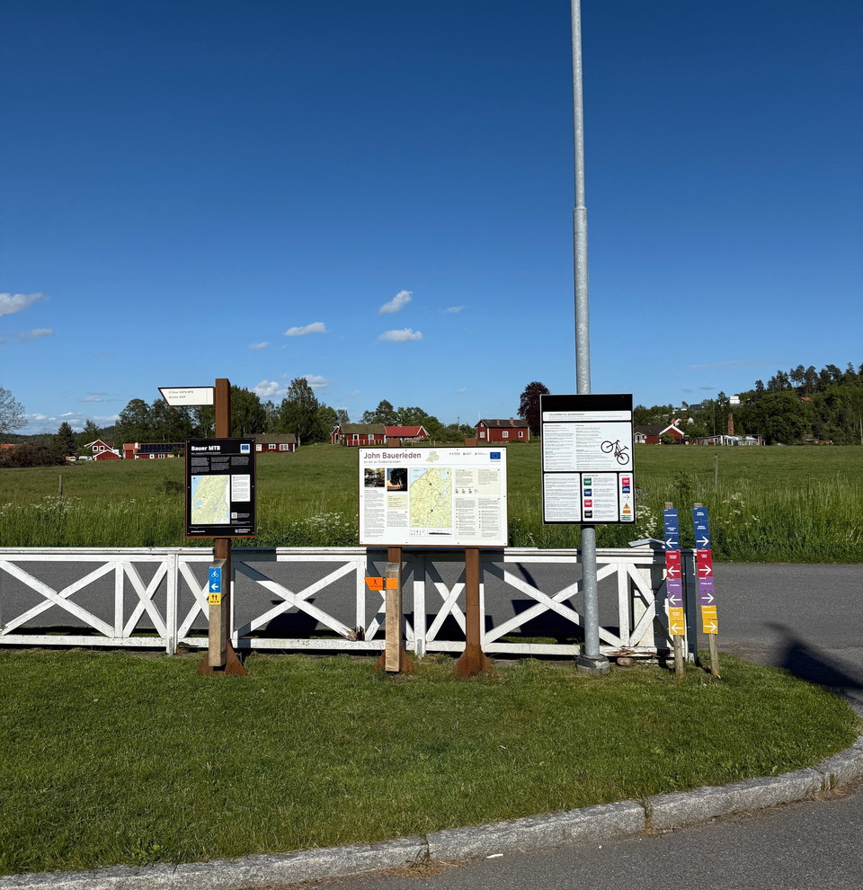
A few hundred meters from the John Bauer Trail is the trail entrance Bunn, Bauergården. Here you can fill up with water, have lunch or stay overnight at the hotel. There is also a swimming area and circular loops under the hotel's auspices, but which are of…

Parking

Parking, Kärda church

  • Municipality: Värnamo
  • 6747.88 km away from you

Large parking area for visiting Kärda Church, Kärda Local Heritage Park, and hiking the Smålandsleden trail.

Parking

Parking, Åminne swimming area

  • Municipality: Värnamo
  • 6755.27 km away from you

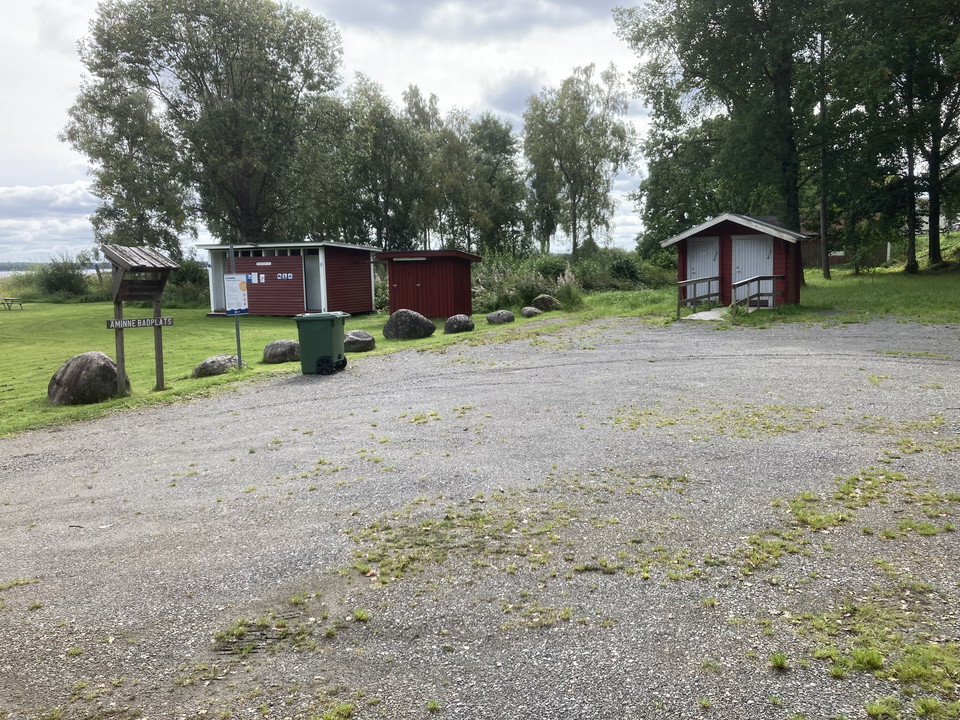
A large and spacious parking lot for bathers, and if you want to use the Lagadalsleden cycling and hiking trail, which is part of Smålandsleden.

Naturkartan

Open this in the app