
Brunnsskogen circular walk
- Hiking
- County: Blekinge län
- 6873.67 km away from you
Trail details
- Length 5.2 km
Actions
Description
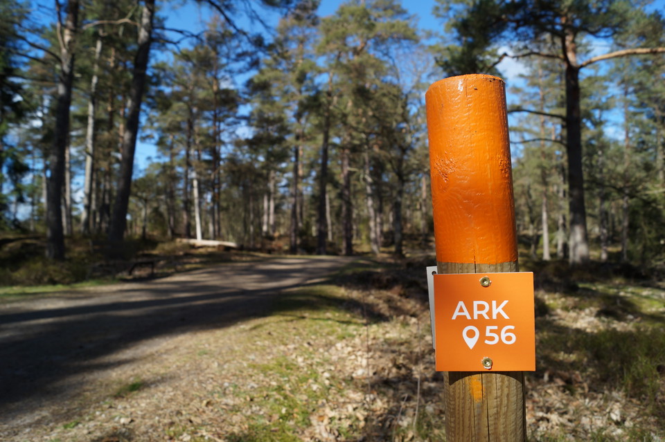
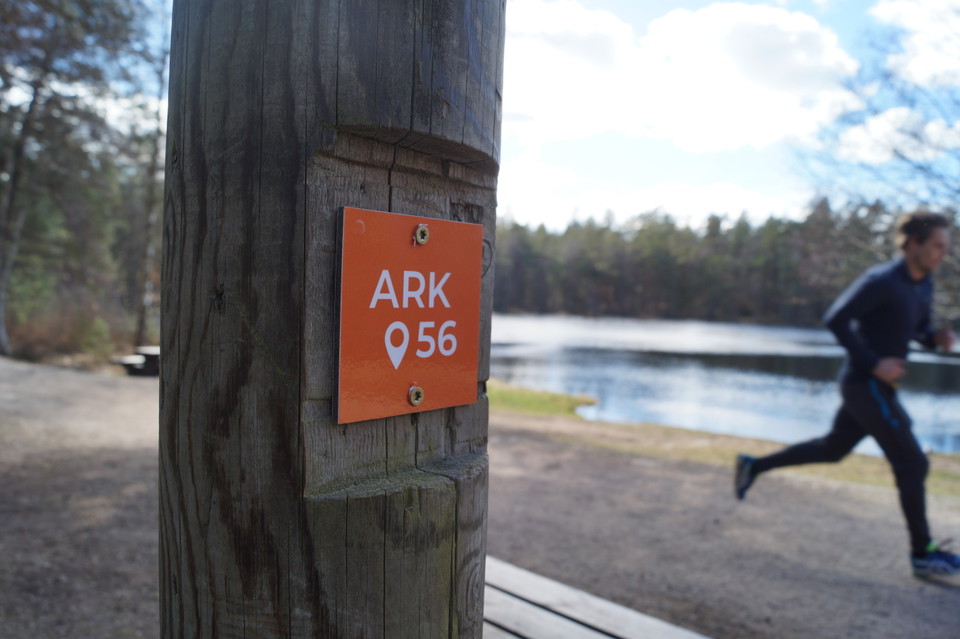
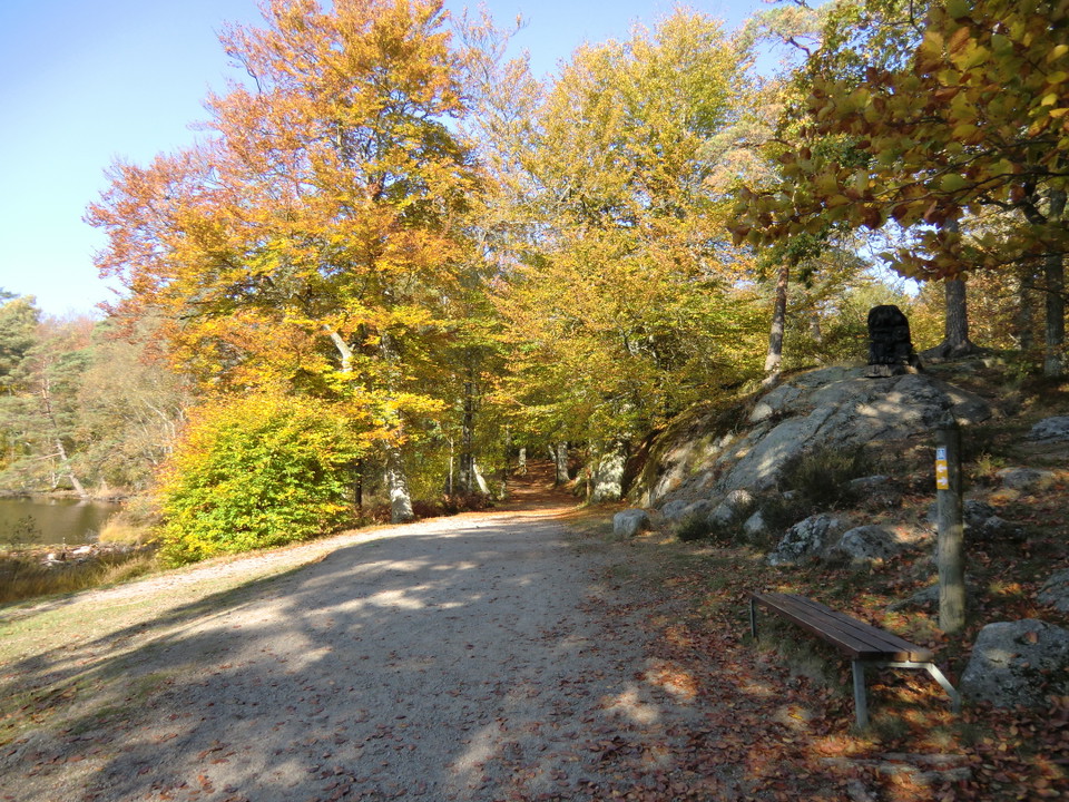
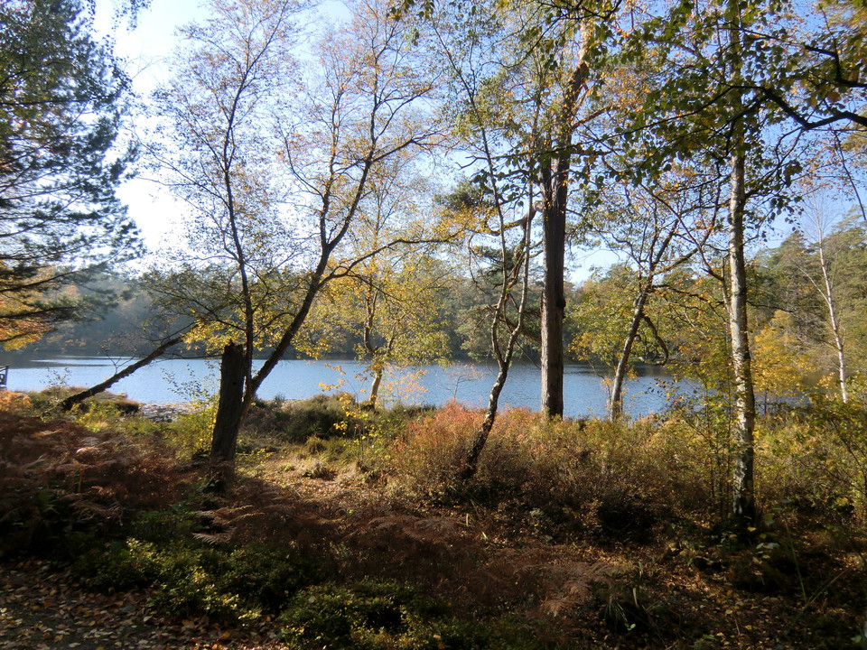
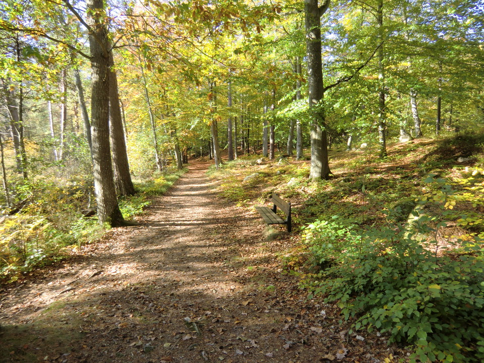
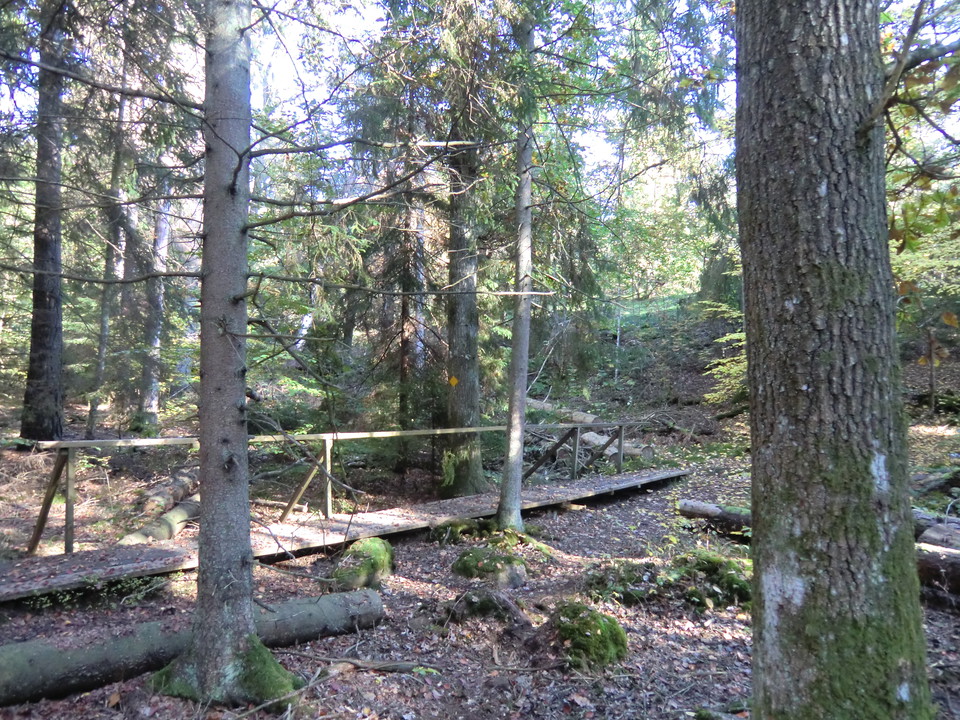
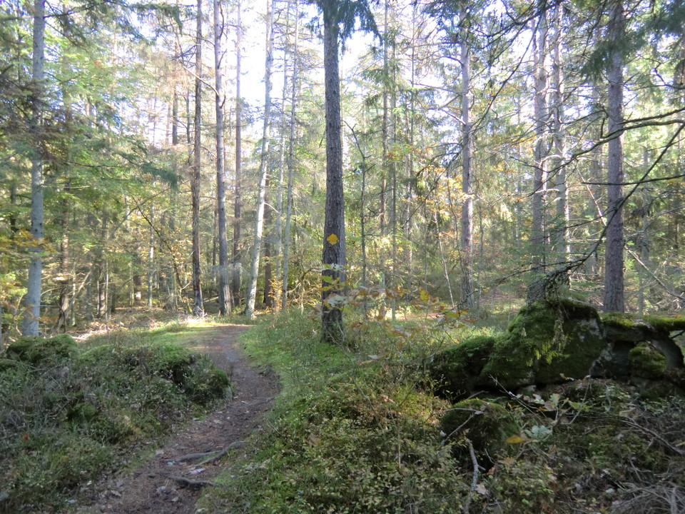
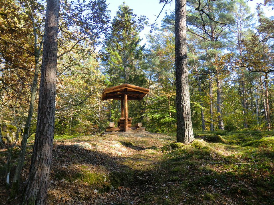
A beautiful, peaceful circuit in Brunsskogen with several places to stop for a rest or a barbecue, just 20 minutes’ walk from the centre of Ronneby. Picnic and barbecue spots along the route (see map). The circuit, called “Gula stigen”, the yellow path, is marked appropriately in yellow on posts and trees. Some sections run alongside the Blekingeleden Trail and are marked in orange and yellow. Both are part of ARK56. The yellow path takes about 1 hour 20 minutes.
It’s worth also visiting the Naturum Blekinge nature centre in Brunnsparken.
Activities And Facilities
- Hiking
Surface
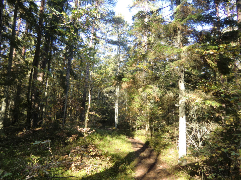
Small path, gravel road and forest road. Path through the forest, some stretches of gravel road along fenced sheep pastures.
Downloads
Contact
Address
Blekinge Arkipelag Kurpromenaden 4 372 36 Ronneby
Email address
Team ARK56
Organization logotype

Please be aware that some of these texts have been automatically translated.
I’ve been here 18



I want to go here 27
Questions & Answers
Ask a question to other Naturkartan users.
Reviews
0 reviews
- 5 :
- 4 :
- 3 :
- 2 :
- 1 :
Users images
No user images yet. Be the first to share!
