
-
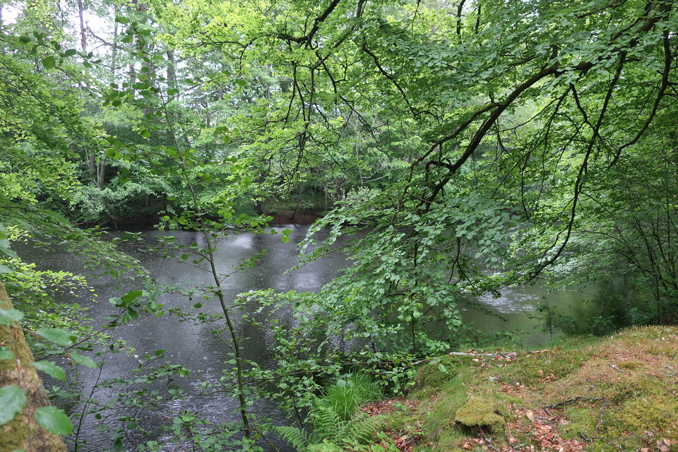
Bokskog längs ROnnebyån. -

Karlsnäsgården -

Små torp kantar vandringsleden. -

Längs Karlsnäsleden vandrar du längs Ronnebyån. -

Ronnebyån har en lång gemensam historia med människan. -

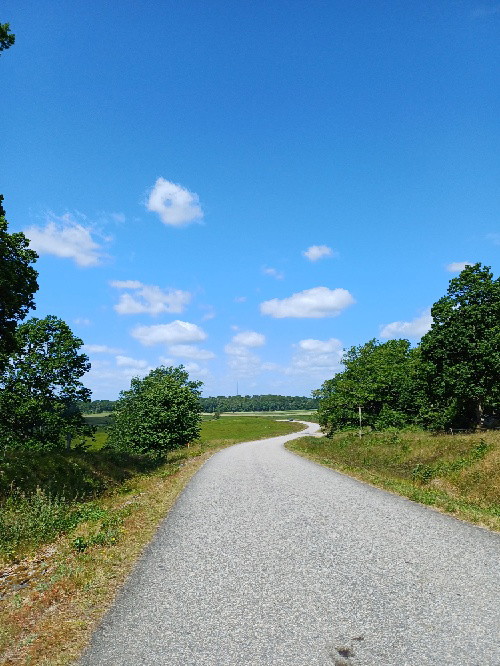
Vy längs Karlsnäsleden -

I Ronnebyån finns ett rikt djurliv.
Karlsnäsleden
- Hiking
- Near parking
- Near Public Transport
- Culture trail
- County: Blekinge län
- 6867.36 km away from you
Trail details
- Length 15.0 km
Actions
Description
Activities And Facilities
- Hiking
- Culture trail
Accessibility
- Near parking
- Near Public Transport
Surface
The Karlnäs trail runs mostly on gravel paths and asphalt.
Parking
Parking is available
Directions
Karlsnäsleden is most easily reached from central Ronneby or Karlsnäsgården.
Downloads
Contact
Address
Telefon: 0457-618400
Email address
Ronneby Kontaktcenter
Organization logotype

Please be aware that some of these texts have been automatically translated.
I’ve been here 2

I want to go here 17


Questions & Answers
Ask a question to other Naturkartan users.
Reviews
0 reviews
- 5 :
- 4 :
- 3 :
- 2 :
- 1 :
Users images
No user images yet. Be the first to share!
