
-

-

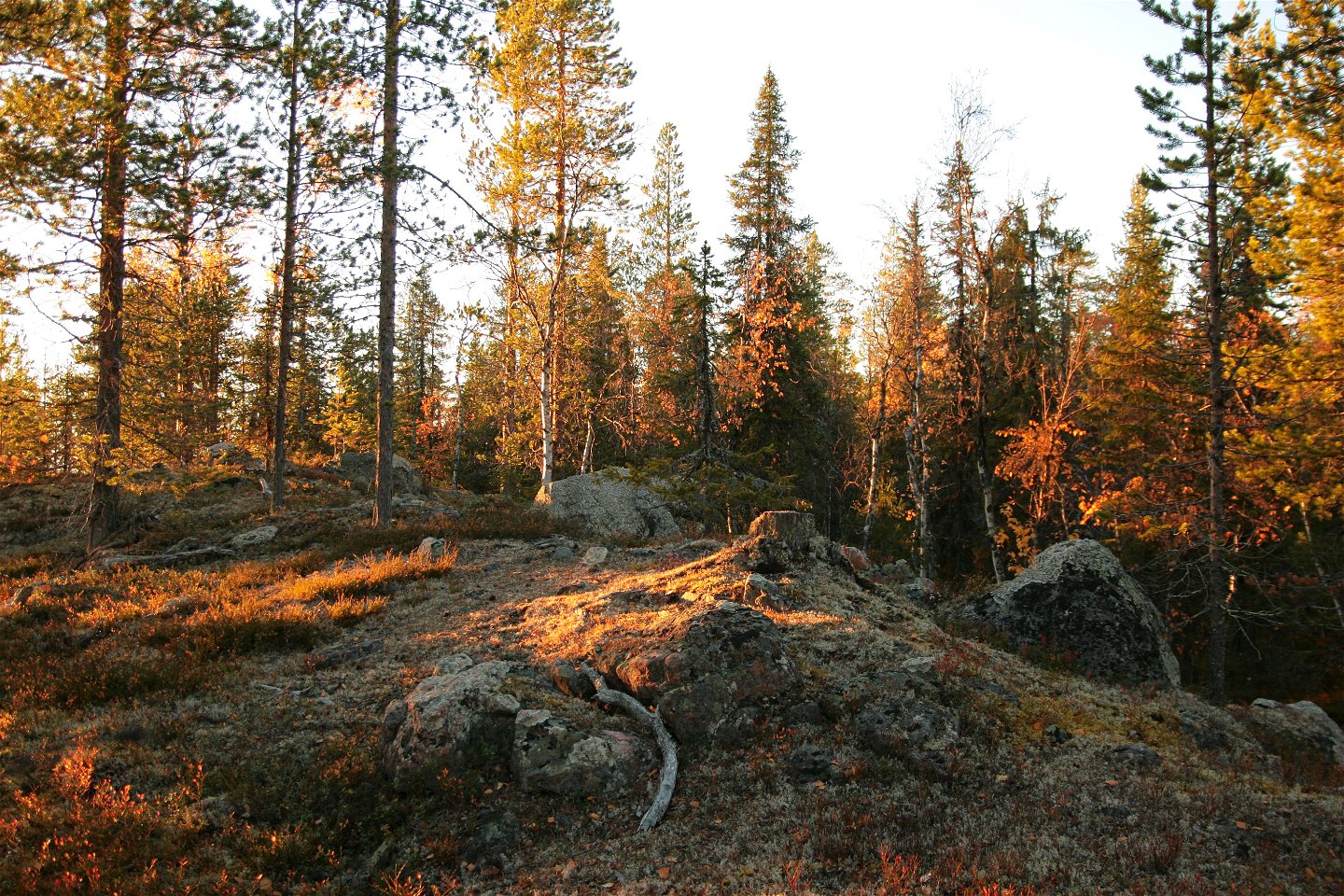
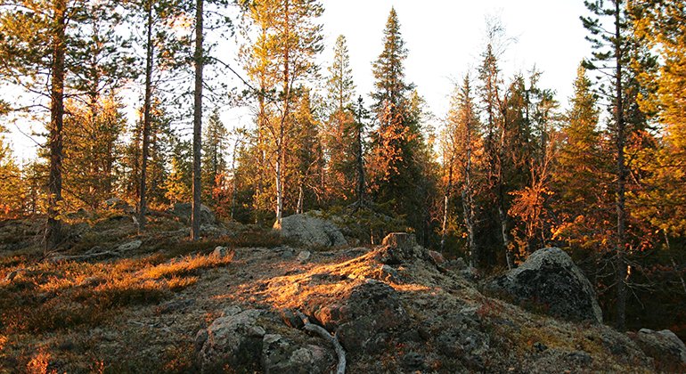
Bågevárre.
Foto: Länsstyrelsen Norrbotten

Bågevárre
Naturschutzgebiet
- Landkreis: Norrbottens län
- 7565.69 km von Ihnen entfernt
Aktionen
Beschreibung
Bågevárre (Påkevare) is a steep, rocky hill near the Lilla Luleälven river, south of Letsi power plant. It features varying nature with ravines, scree cliffs, boulder-strewn rocky ground and small patches of waterlogged forest. From the plateau on the north side of the mountain, the view is vast along the river valley leading to Jokkmokk. The area is 0.9 square kilometres in size.
Aktivitäten und Einrichtungen
-
Naturschutzgebiet
Fakten
Municipality: Jokkmokk
Year of formation: 2013
Size: 0.9 square kilometers
Administrator: County Administrative Board
Form of protection: Nature reserve
Kommunikation
The nature reserve lies about 12 kilometres northwest of Vuollerim. There is no road leading as far as the reserve. The public road passes about 500 metres east of the reserve. A private road ends about 300 metres west of the reserve. However, the road has a barrier about 3 kilometres before the nature reserve.
Anleitung
The nature reserve is located about 12 kilometers northwest of Vuollerim. There is no road leading to the reserve. The public road runs about 500 meters east of the reserve and there is a private road that ends about 300 meters before the western border of the reserve. However, the private road is blocked about 3 kilometers before the nature reserve.
Verordnungen
All regulations can be found in the reserve decision. It is permitted to: - camp - hike - drive snowmobiles on well snow-covered ground - make a small fire with loose twigs or branches - pick berries and edible mushrooms - fish and hunt in accordance with applicable laws
Littering or damaging plant and animal life is not allowed. Remember the right of public access and protect nature!
Kontakt
E-Mail-Adresse
Länsstyrelsen Norrbotten
Logotyp der Organisation
![]()
Bitte beachten Sie, dass einige dieser Texte automatisch übersetzt worden sind.
Fragen & Antworten
Stellen Sie eine Frage an andere Naturkartan-Nutzer.
Bewertungen
Das könnte Sie auch interessieren
