
-

-

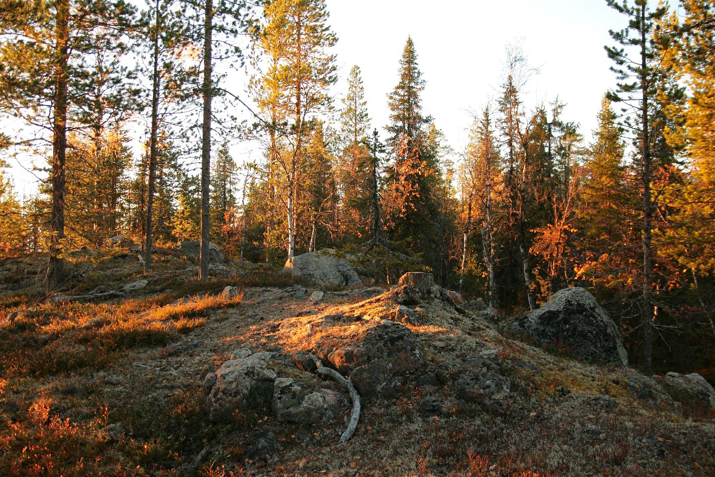
Bågevárre.
Foto: Länsstyrelsen Norrbotten

Bågevárre
Natuurgebied
- Regio: Norrbottens län
- 7565.69 km van u vandaan
Acties
Omschrijving
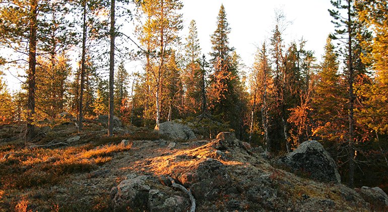
Bågevárre (Påkevare) is a steep, rocky hill near the Lilla Luleälven river, south of Letsi power plant. It features varying nature with ravines, scree cliffs, boulder-strewn rocky ground and small patches of waterlogged forest. From the plateau on the north side of the mountain, the view is vast along the river valley leading to Jokkmokk. The area is 0.9 square kilometres in size.
Activiteiten en faciliteiten
-
Natuurgebied
Feiten
Municipality: Jokkmokk
Year of formation: 2013
Size: 0.9 square kilometers
Administrator: County Administrative Board
Form of protection: Nature reserve
Communicatie
The nature reserve lies about 12 kilometres northwest of Vuollerim. There is no road leading as far as the reserve. The public road passes about 500 metres east of the reserve. A private road ends about 300 metres west of the reserve. However, the road has a barrier about 3 kilometres before the nature reserve.
Routebeschrijving
The nature reserve is located about 12 kilometers northwest of Vuollerim. There is no road leading to the reserve. The public road runs about 500 meters east of the reserve and there is a private road that ends about 300 meters before the western border of the reserve. However, the private road is blocked about 3 kilometers before the nature reserve.
Regelingen
All regulations can be found in the reserve decision. It is permitted to: - camp - hike - drive snowmobiles on well snow-covered ground - make a small fire with loose twigs or branches - pick berries and edible mushrooms - fish and hunt in accordance with applicable laws
Littering or damaging plant and animal life is not allowed. Remember the right of public access and protect nature!
Contact
E-mailadres
Länsstyrelsen Norrbotten
Organisatie-logotype
![]()
Houd er rekening mee dat sommige teksten automatisch zijn vertaald.
Vragen en antwoorden
Stel een vraag aan andere Naturkartan gebruikers.
Beoordelingen
Misschien bent u ook geïnteresseerd in
