Naturstigen
Hiking
- Regio: Västerbottens län
- 7399.39 km van u vandaan
Pad details
- Lengte 5.0 km
Acties
Omschrijving
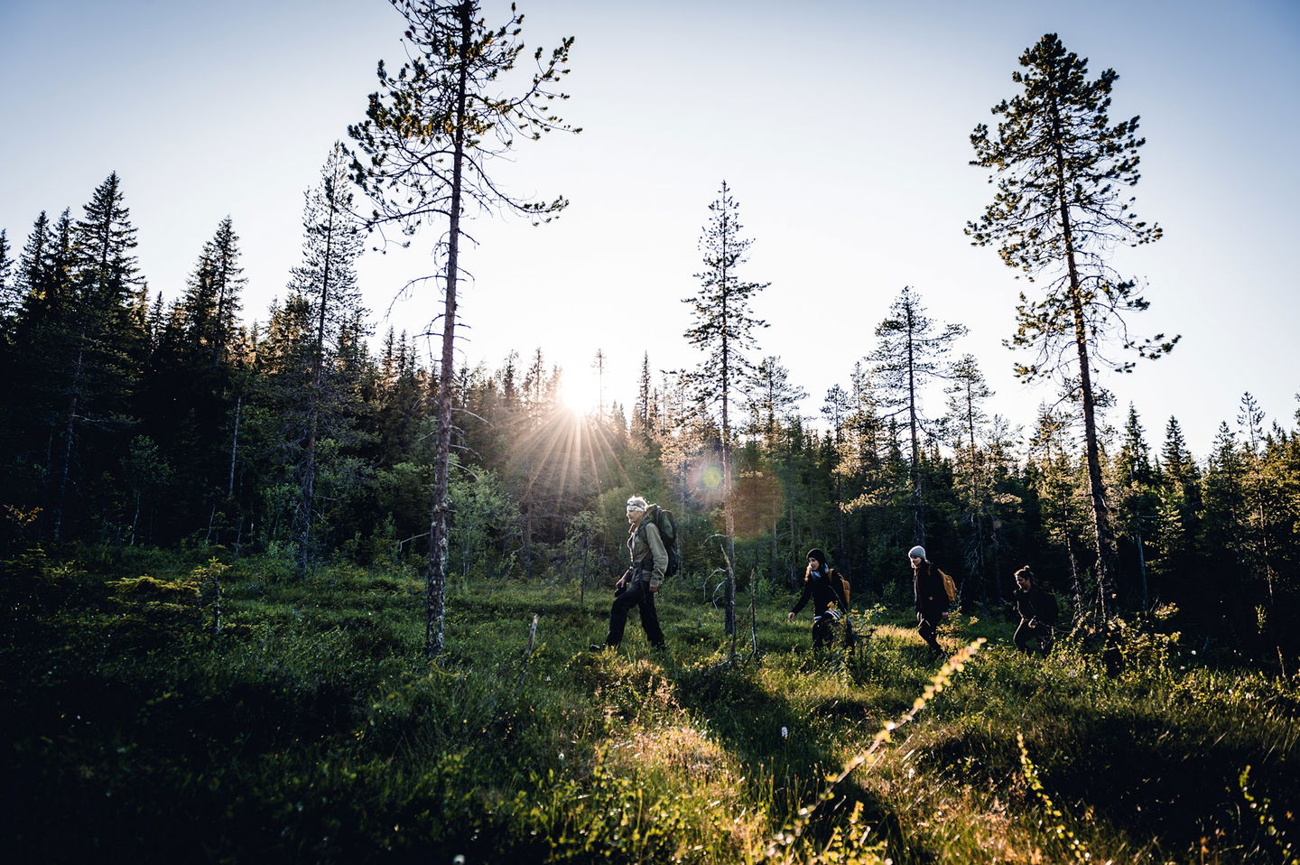
The path goes in hilly terrain with a few short, steeper sections. The path is well marked with blue/white hiking trail signs. Along the path there are signs with information about the landscape, culture, geology and more.
Activiteiten en faciliteiten
-
Hiking
-
Vuurplaats
Feiten
The nature trail runs in hilly terrain with a few short, steeper sections. Along the trail you will find rest areas, shelters and information about landscape, culture and geology. Old forest with high nature values just before large windbreaks
Oppervlakte
forest, jogging tracks, hills
Parkeren
At the Vitberget railway station
Routebeschrijving
Drive Slalomvägen up towards Vitberget's track center.
Contact
E-mailadres
Kundtjänst Skellefteå kommun
Organisatie-logotype

Houd er rekening mee dat sommige teksten automatisch zijn vertaald.
Vragen en antwoorden
Stel een vraag aan andere Naturkartan gebruikers.


