Naturstigen
Vaellusreitit
- Kunta: Västerbottens län
- 7399.39 km päässä sinusta
Polun yksityiskohdat
- Pituus 5.0 km
Toiminnot
Kuvaus
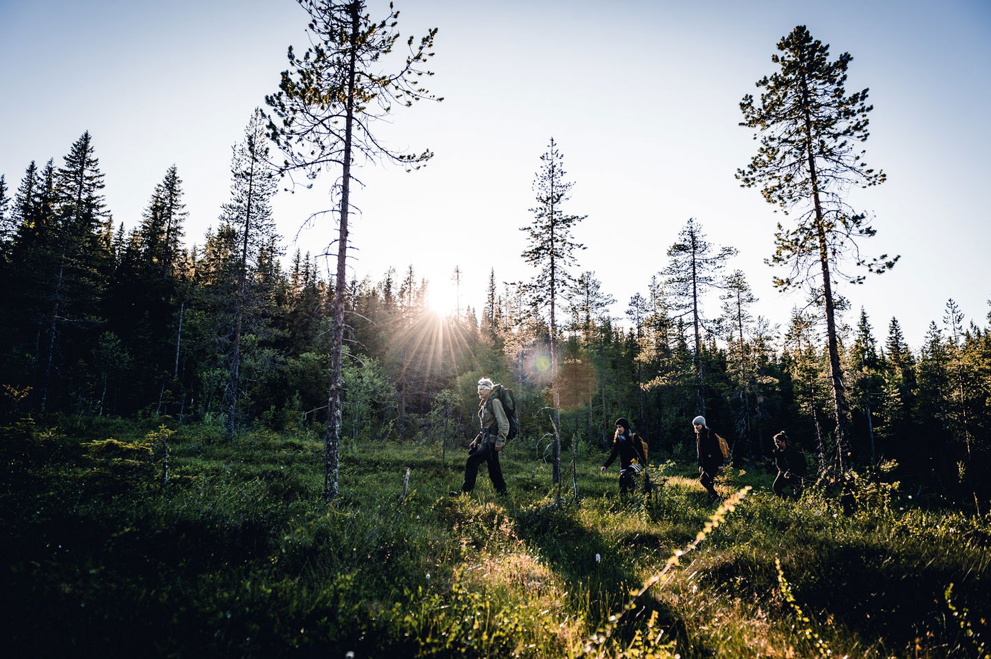
The path goes in hilly terrain with a few short, steeper sections. The path is well marked with blue/white hiking trail signs. Along the path there are signs with information about the landscape, culture, geology and more.
Toimintaa ja tilat
-
Vaellusreitit
-
Grillipaikka/Tulentekopaikka
Faktat
The nature trail runs in hilly terrain with a few short, steeper sections. Along the trail you will find rest areas, shelters and information about landscape, culture and geology. Old forest with high nature values just before large windbreaks
Pinta
forest, jogging tracks, hills
Pysäköinti
At the Vitberget railway station
Reittiohjeet
Drive Slalomvägen up towards Vitberget's track center.
Ota yhteyttä
Sähköpostiosoite
Kundtjänst Skellefteå kommun
Organisaation logotyyppi

Huomaa, että osa näistä teksteistä on käännetty automaattisesti.
Kysymykset & vastaukset (Q&A)
Esitä kysymys muille Naturkartan-käyttäjille.


