Äventyret
- Kommune: Växjö
- 6810.40 km fra deg
- 0.4 km
- Vanskelighetsgrad: Blå
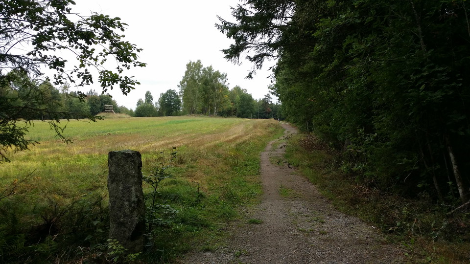
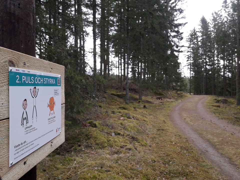
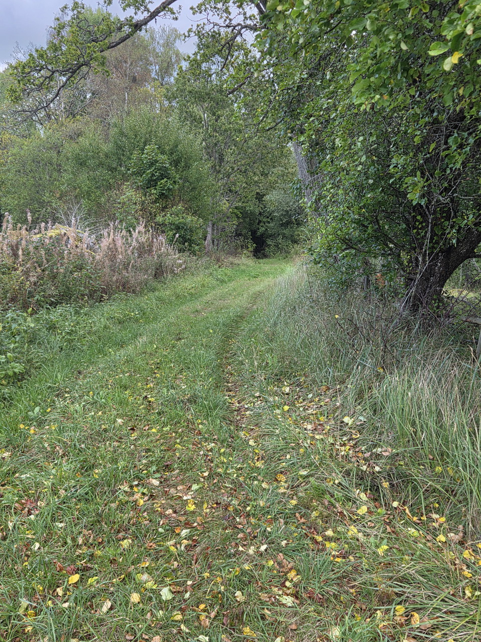
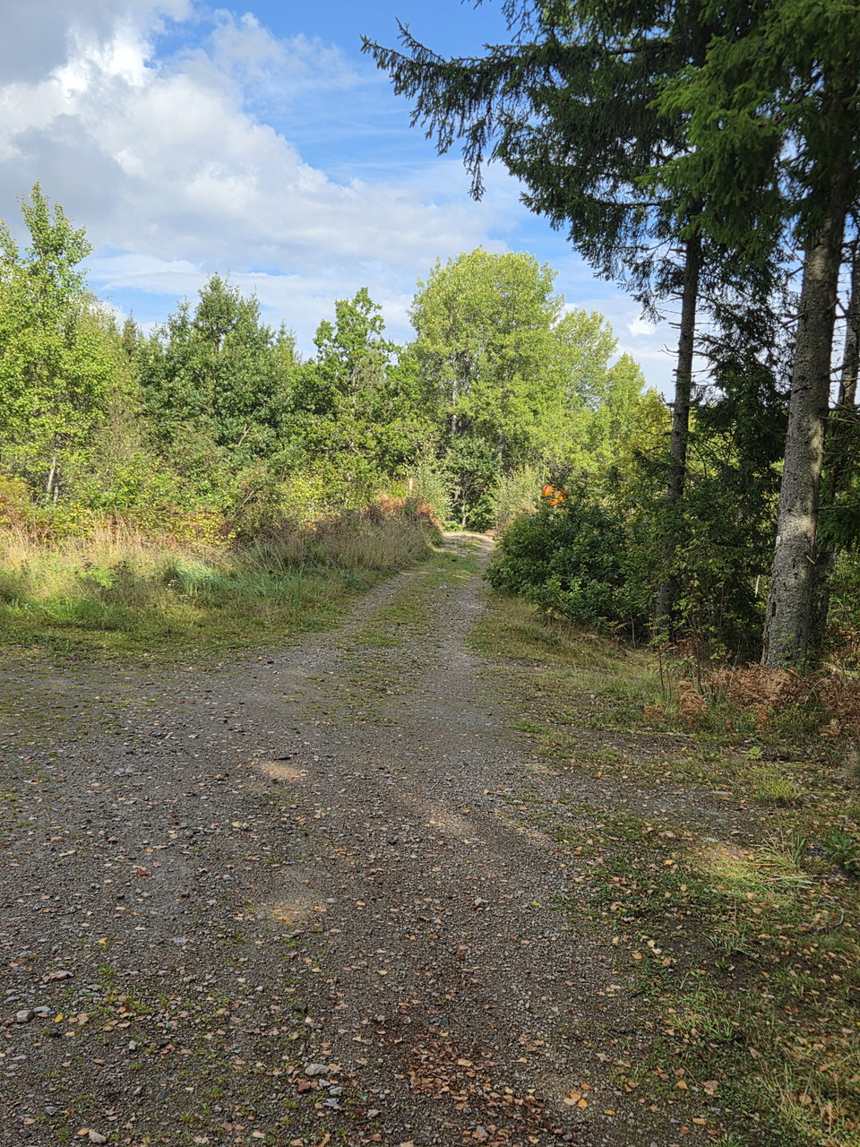
What lurks along this magical path?

Växjö
Naturkarten samler de turstiene i Växjö som er mest populære blant våre brukere.
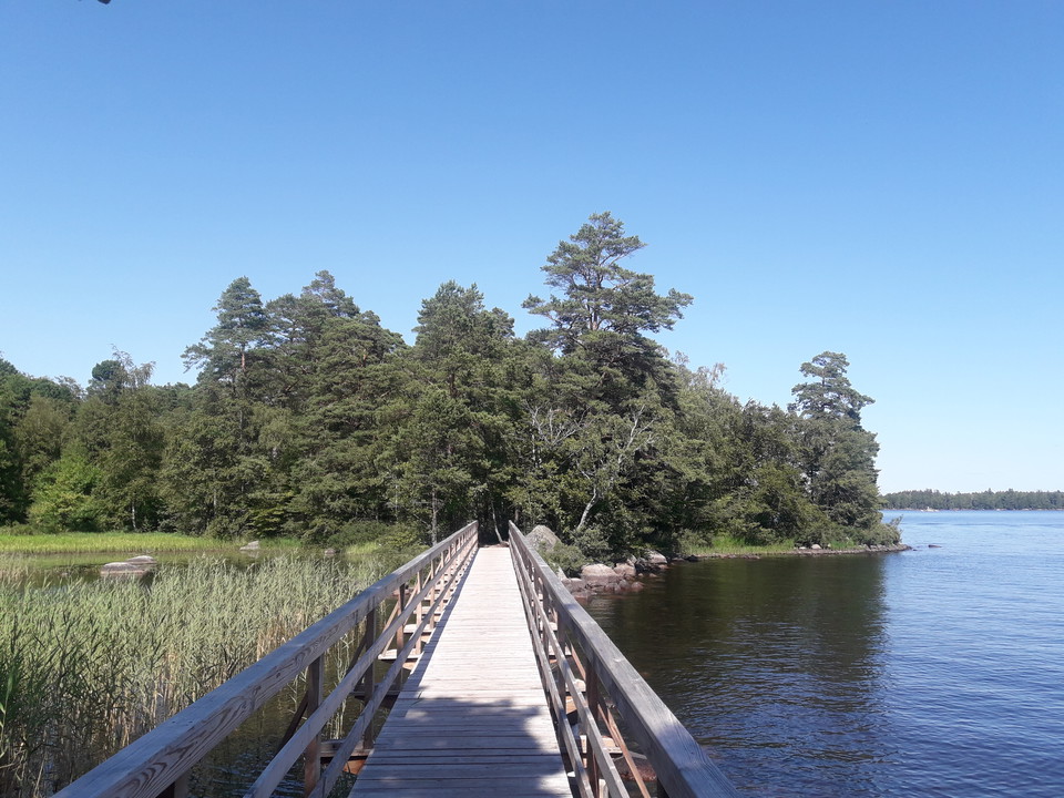
What lurks along this magical path?
The beautiful nature is one of the best things we have in Gemla. The parish council has created and maintains a number of walking trails that provide exercise and great nature experiences. This trail between Skärvet and Feret runs on a gravel road and farm…
Nature is one of the finest things that Gemla has around the corner. The parish council has created and maintains a number of walking trails that provide both exercise and fine nature experiences around Gemla. This trail runs on a forest path / gravel road…
The beautiful nature is one of the best things we have in Gemla. The parish council has created and maintains a number of walking trails that provide both exercise and fine nature experiences around Gemla. This trail runs alternately on both forest road and…
The beautiful nature is one of the finest things that Gemla has around the corner. The parish council has created and maintains a number of walking trails that provide both exercise and fine nature experiences around Gemla. This trail runs alternately on fo…
The Asasjön loop trail - part of the Smålandsleden trail, offers a variety of views and terrain along peaceful nature. The circular trail is graded blue, so most of it is easy hiking on graveled forest roads, paths and two sections with paved roads in the n…
The Sigfridsleden stage between Asa and Nykulla viewing tower offers a variety of lakeside views and terrain. The trail is graded as red as some heights are passed. Most of it is still easy hiking. Three lakes are passed on the tour. Places to stay overnigh…
The section between the Nykulla rest area and Stocke beach is an easy hike with trail grading indicated as blue. Longer stretches on paved minor roads with fine views of typical Småland agricultural landscapes are included. But also some more natural sectio…
The stage between Stocke beach and Ekorrbryggan in the Fylleryd nature reserve is mostly easy hiking with trail grading indicated as blue. A mix of paved minor road and gravel road with nice views over the typical Småland agricultural landscape. But also so…
Sigfridsleden trail connection from Växjö Cathedral and train station, past the Evedal hub, to the peaceful Ekorrbryggan in the Fylleryd nature reserve. The trail connection starts from Växjö Cathedral, along Sandgärdsgatan and further north on the narrow g…
The stage route from the trail junction near the Notteryd nature reserve to the Hemmesjösjön rest area has a trail grading of red. It starts with hilly, scenic paths south over the Skråhalla mountains, through the nature reserve and along three lakes on the…
The stage route from the Hemmesjösjön rest area to the Sandvik beach has a trail grading of blue. It starts over open views past the Hemmesjö old church with more forest contact to Åryd with a nice bathing area, grocery store, bus stop and cultural environm…
A nice stage between the bathing areas Sandvik and Sandstaden which has a trail grade of blue. A varied mix of forest roads, paths and typical Småland gravel roads. Lyckeberg, Hultet, Hårestorp and Lunkebäcken are some nice map names along the stretch. Peac…
A nice stage route from Sandstaden, past Tjusås with wind shelter and swimming to the southern end of the Sigfrid Trail at the Knapelid parking lot. Trail grade indicated as blue with most of it along gravel roads and a nice path up to the Knapelid viewpoin…
Sigfridsleden trail connection 5.5 kilometers from parking Knapelid to Linneryd with grocery store, camping and stops for regional buses. The trail connection goes in Tingsryd municipality and then on to the circular Utvandrarleden 113 kilometers and its ne…
Naturkarten samler de turstiene i Växjö som er mest populære blant våre brukere.