
-
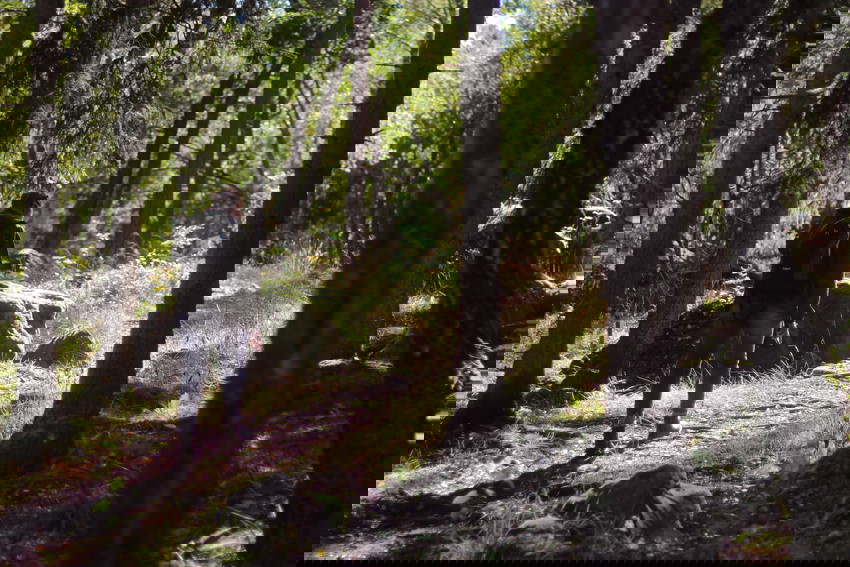
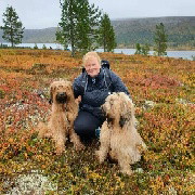
Kuva: Sara Arvidsson -
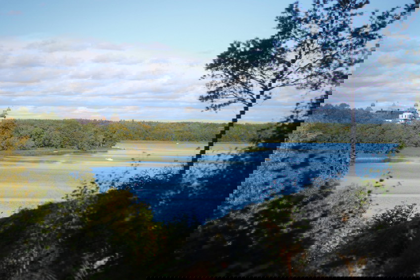
Kuva: Sara Arvidsson -
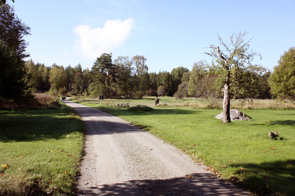
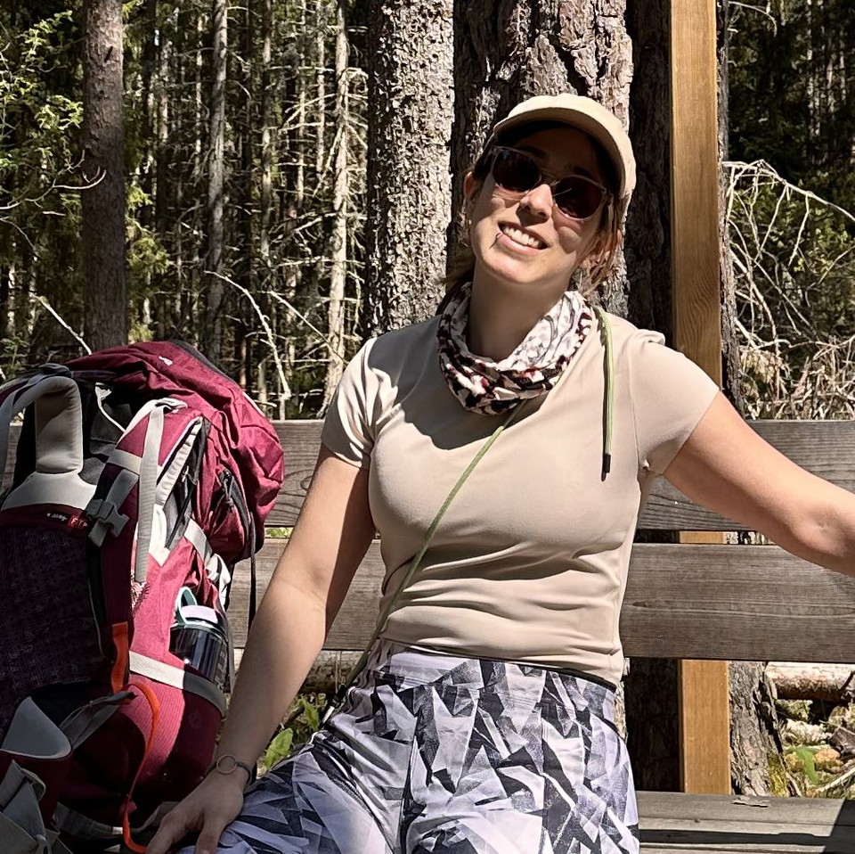
Kuva: Karolina Vessby -
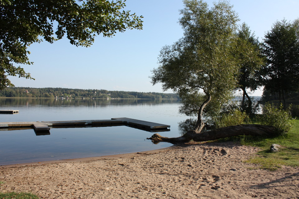
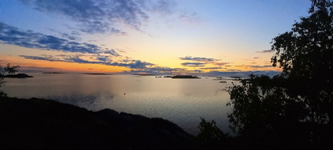
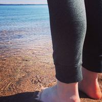
Badplatsen vid slottet.
Kuva: Karolina Vessby -
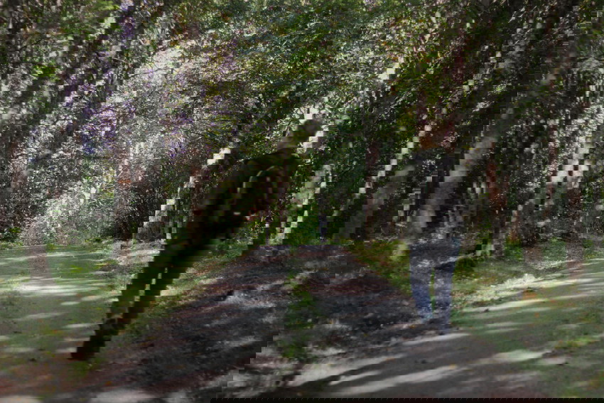
Kuva: Sara Arvidsson -
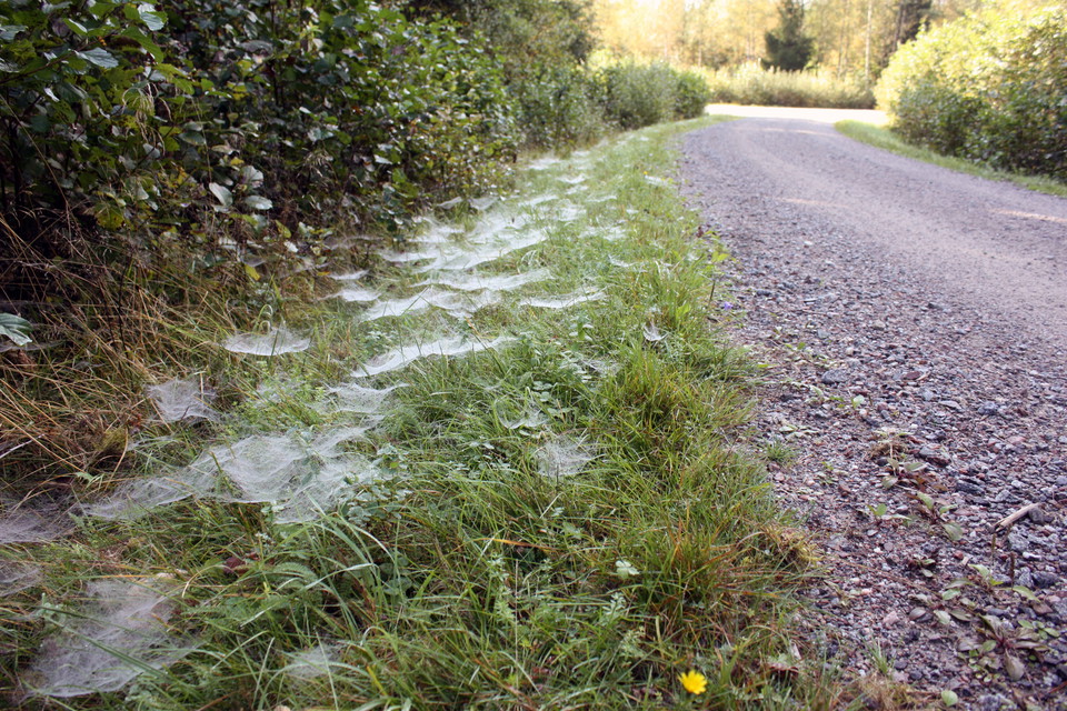
Kuva: Karolina Vessby -
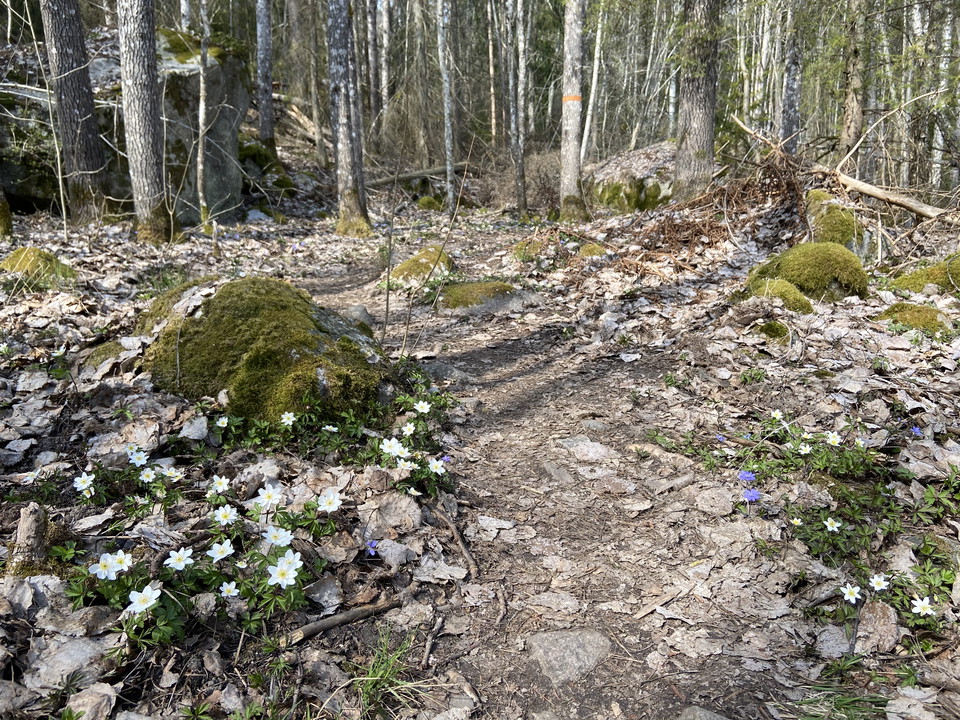
-
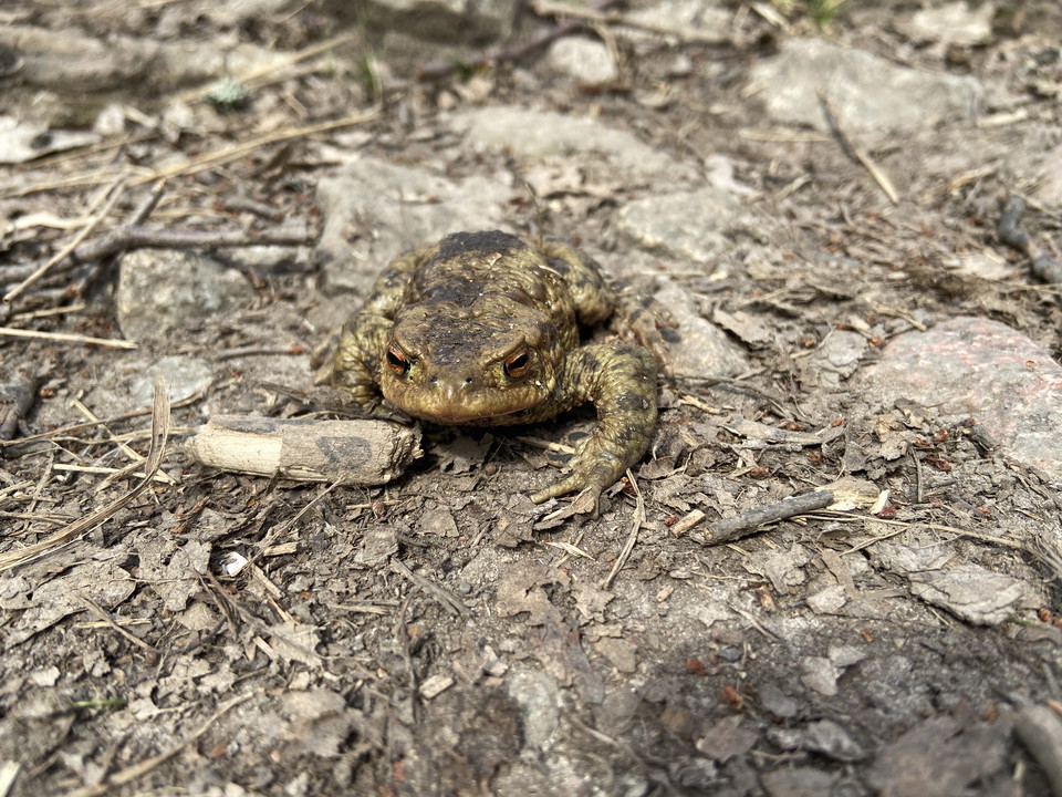
Upplandsleden, slinga 31:1, Skoklosterslingan
- Vaellusreitit
- Ohje: Uppsala läns natur
- 6792.04 km päässä sinusta
Polun yksityiskohdat
- Pituus 14.5 km
Toiminnot
Kuvaus
The Skokloster Walk starts and ends at the magnificent baroque castle Skokloster on the Skohalvön Peninsula. If you’ve walked the two final sections of The Uppland Trail, you’ll already be familiar with large parts of the walk (see sections 30 and 31).
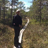
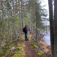
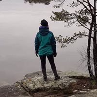
For the first few kilometres, on small roads along section 31, you’ll walk past pastures and cottages out into the forest of the Skokloster reserve. At a junction, the trail markings point straight ahead toward Sånka, but you should turn southward, to the left. The walk continues along forest roads for cars, and turns in the small village of Måttan, to follow the shore of Lake Mälaren, and back to the castle. The hike changes in character here, and the previously easy-to-walk trail becomes more rugged and rocky. You’ll pass two swimming and rest spots. When you are back where you started, take the opportunity to visit the vast collections of the castle.
Difficulty level: Medium, paths and forest roads for cars.
Toimintaa ja tilat
- Vaellusreitit
Viestintä
Bålstan bussi kulkee Skoklosterin linnaan. Linja-auton numerot ja aikataulut ovat www.ul.se
Reittiohjeet
Lintutie Skoklosterille maili etelään Uppsalasta, autotie lähes 5 km.
Ota yhteyttä
Sähköpostiosoite
Upplandsstiftelsen
Organisaation logotyyppi

Huomaa, että osa näistä teksteistä on käännetty automaattisesti.
Olen ollut täällä 85








Haluan mennä tänne 138










Kysymykset & vastaukset (Q&A)
Esitä kysymys muille Naturkartan-käyttäjille.
Arvostelut
5 arvostelut
- 5 :
- 4 :
- 3 :
- 2 :
- 1 :
great hike! easy to follow, starts through easy paths to warm you up and the last 3rd gets a bit more challenging through uneven forest ground. we were lucky to do this on a sunny spring day! 🤩☀️
Käyttäjien kuvat
Käyttäjien kuvia ei ole vielä. Ole ensimmäinen, joka jakaa kuvan!

Många nedfallna träd att ta sig över/under/förbi. Annars en trevlig runda, där ena halvan är betydligt mer kuperad än den andra.