Vilhatten
Luonnonsuojelualue
- Kunta: Norrbottens län
- 7479.27 km päässä sinusta
Toiminnot
Kuvaus
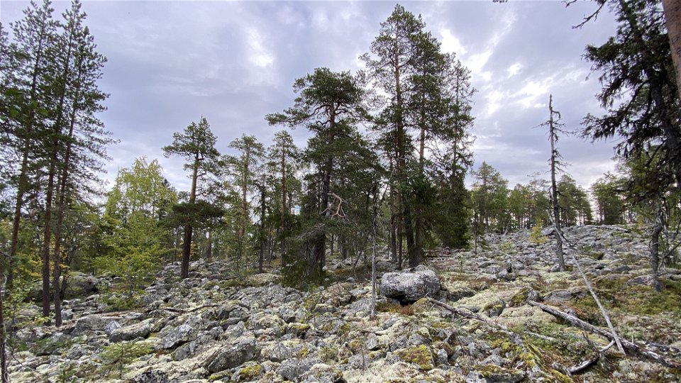
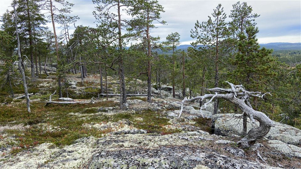
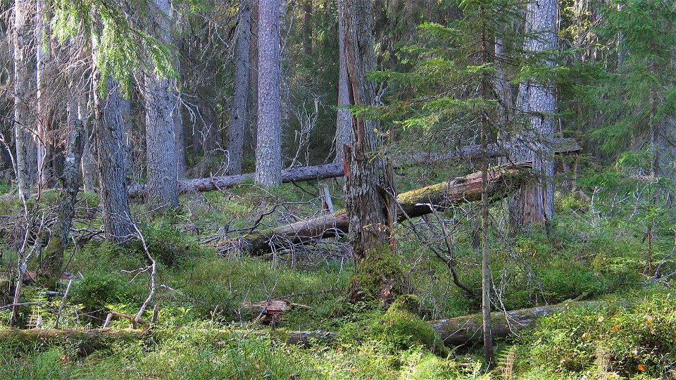
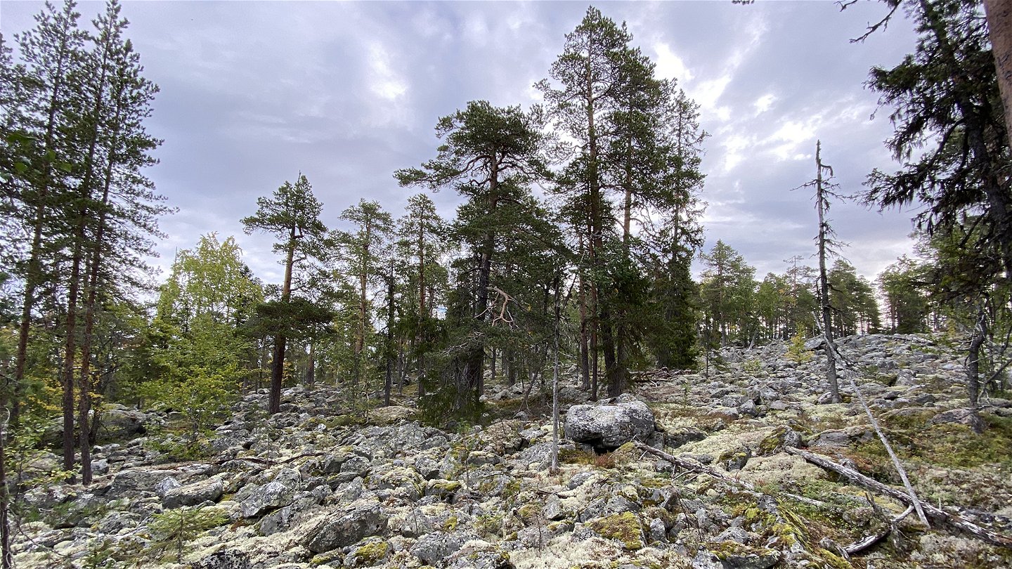
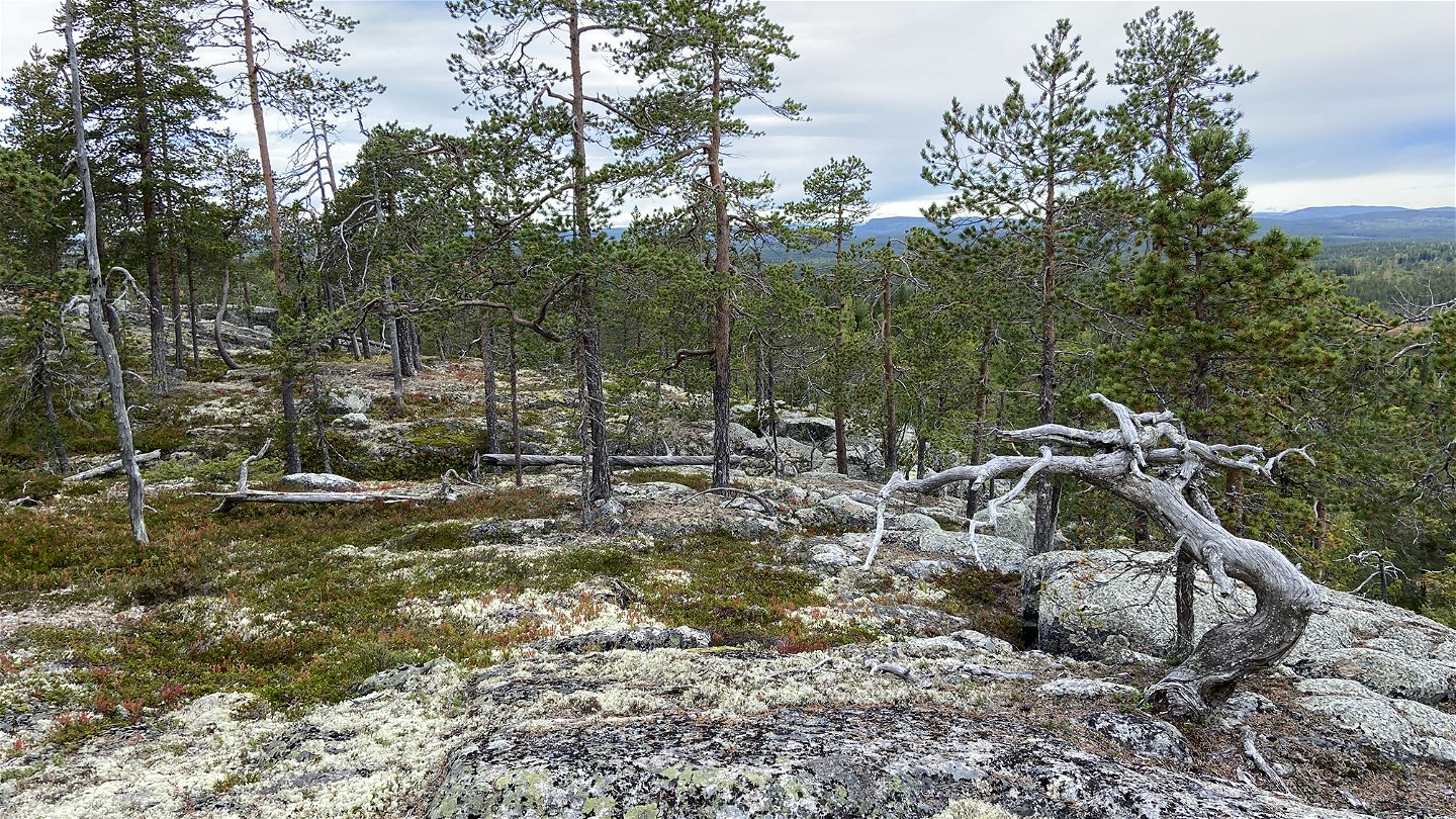
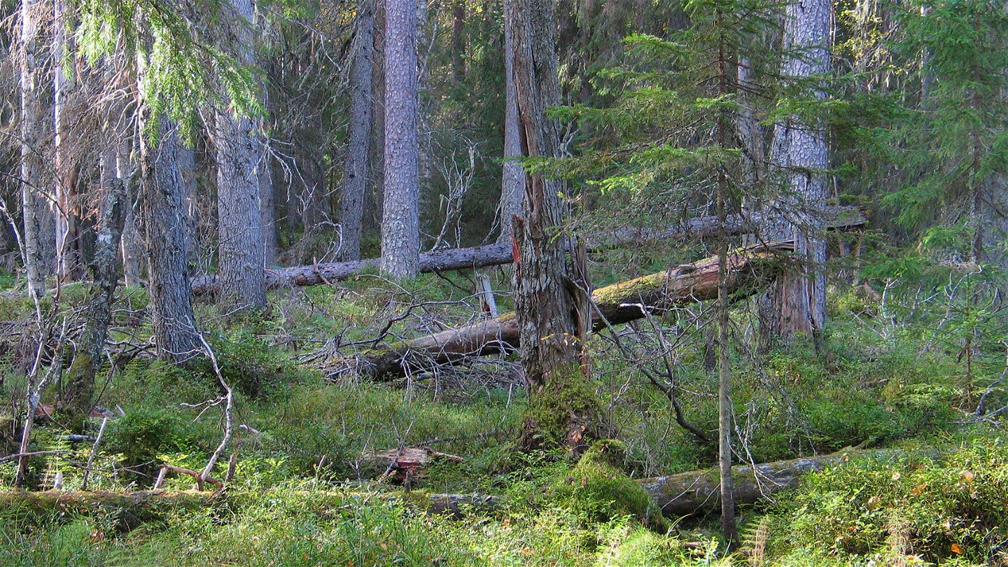
Most of Vilhatten lay under the sea surface after the most recent ice age. Traces of the wave action can be seen to this day in the form of exposed bedrock and shingle fields. The forests vary between old-growth pine forests, younger deciduous forests and tall-growth spruce forests. The area is 2.2 square kilometres in size.
Toimintaa ja tilat
-
Luonnonsuojelualue
Faktat
Municipality: Älvsbyn
Year of formation: 2013
Size: 2.2 square kilometers
Administrator: County Administrative Board
Form of protection: Nature reserve
Viestintä
The reserve is most easily reached from the north, via the logging road that starts from Tvärån about 5 kilometres northwest of Sikfors.
Reittiohjeet
The reserve is most easily reached from the north, via a forest road that starts from Tvärån about 5 kilometers northwest of Sikfors.
Asetukset
All regulations can be found in the reserve decision. It is allowed to:
- camping
- hiking
- drive snowmobiles on snow-covered ground
- build a small fire in a designated area
- picking berries and edible mushrooms
- fishing and hunting in accordance with applicable laws
Littering or damaging plant and animal life is not allowed. Remember the right of public access and protect nature!
Ota yhteyttä
Sähköpostiosoite
Länsstyrelsen Norrbotten
Organisaation logotyyppi

Huomaa, että osa näistä teksteistä on käännetty automaattisesti.
Kysymykset & vastaukset (Q&A)
Esitä kysymys muille Naturkartan-käyttäjille.

