
-
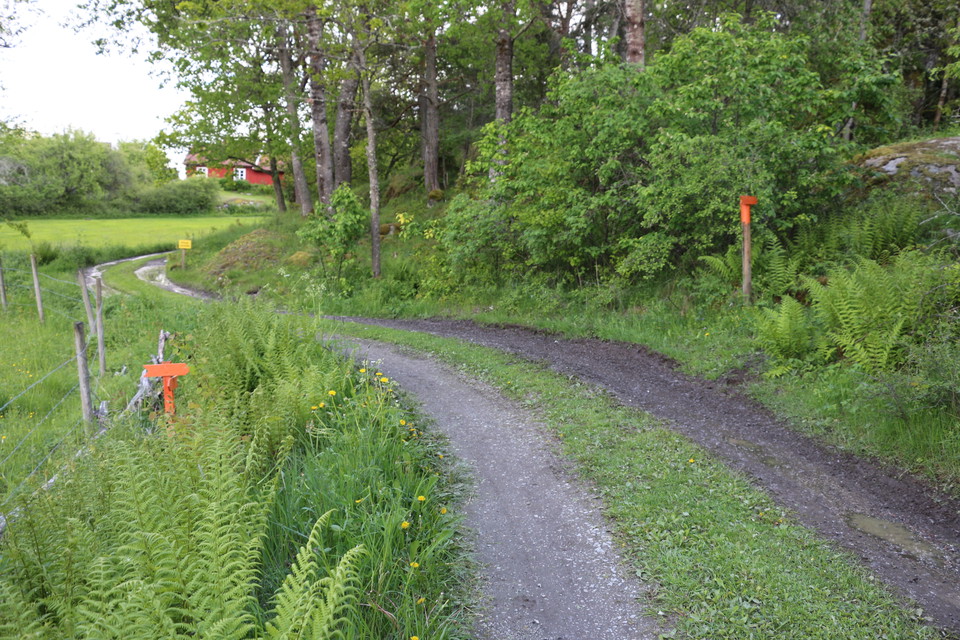
Photo: Ulrika Mogren -
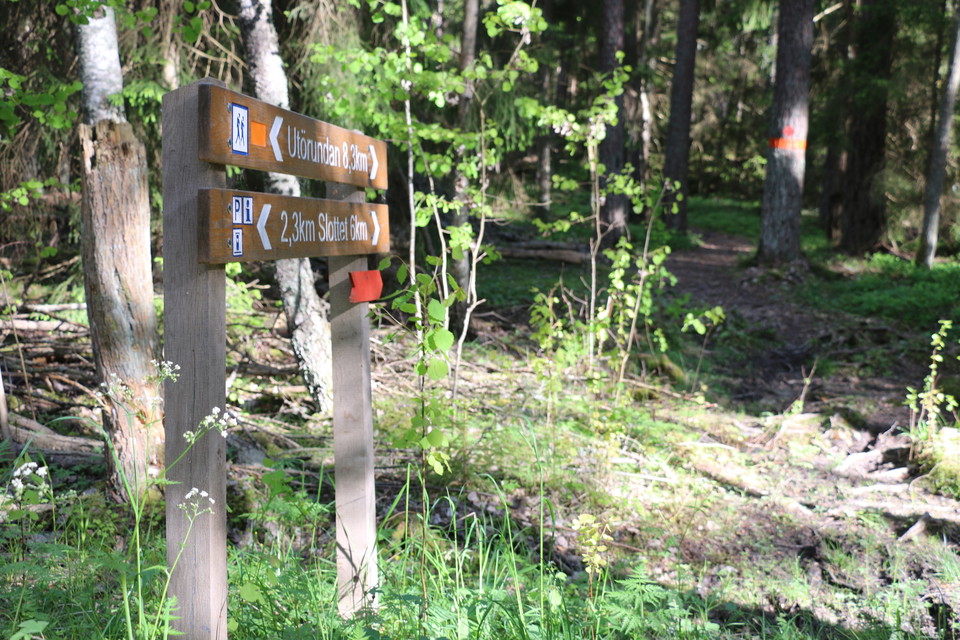
Photo: Ulrika Mogren -
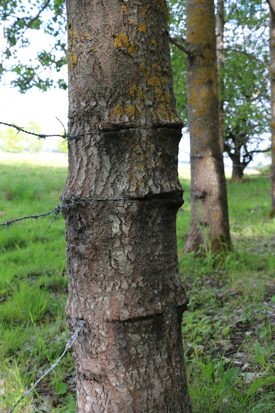
Photo: Ulrika Mogren -
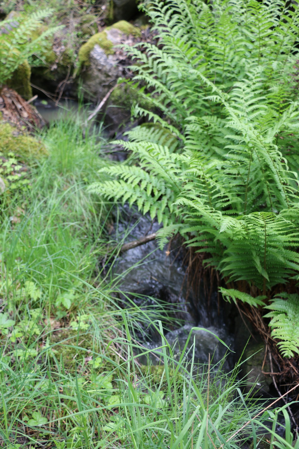
Photo: Ulrika Mogren -
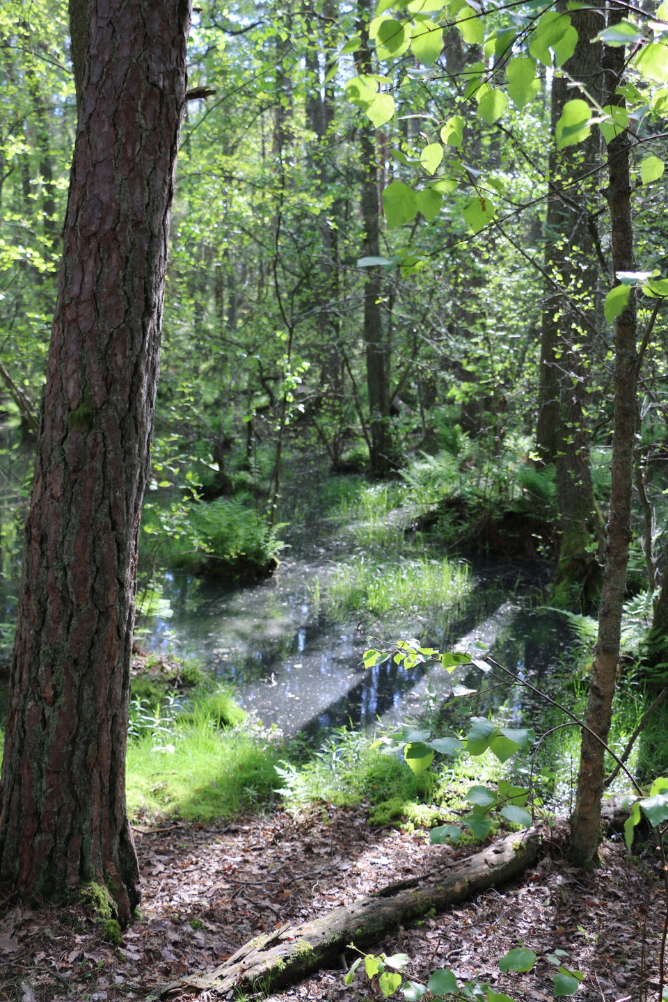
Photo: Ulrika Mogren -
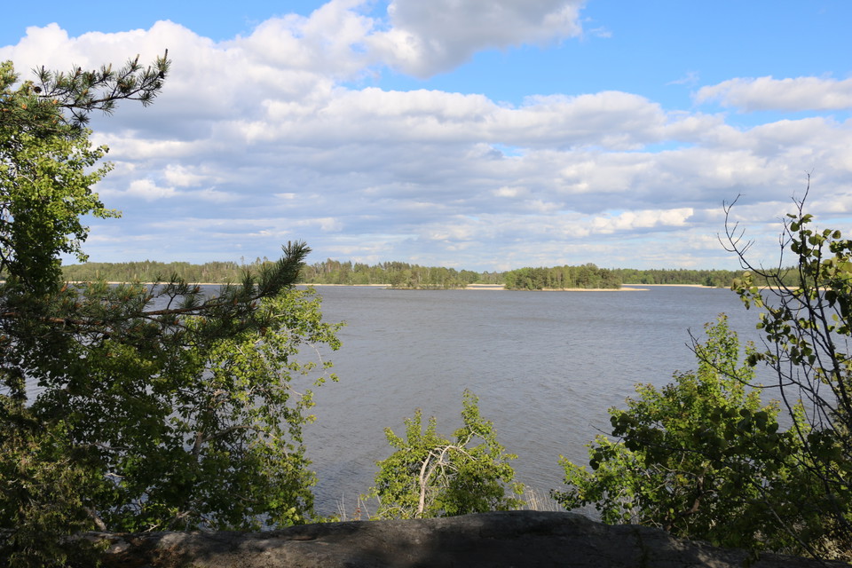
Photo: Ulrika Mogren -
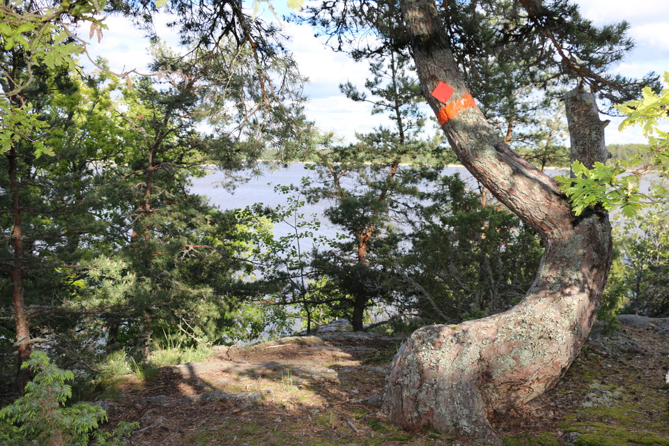
Photo: Ulrika Mogren -
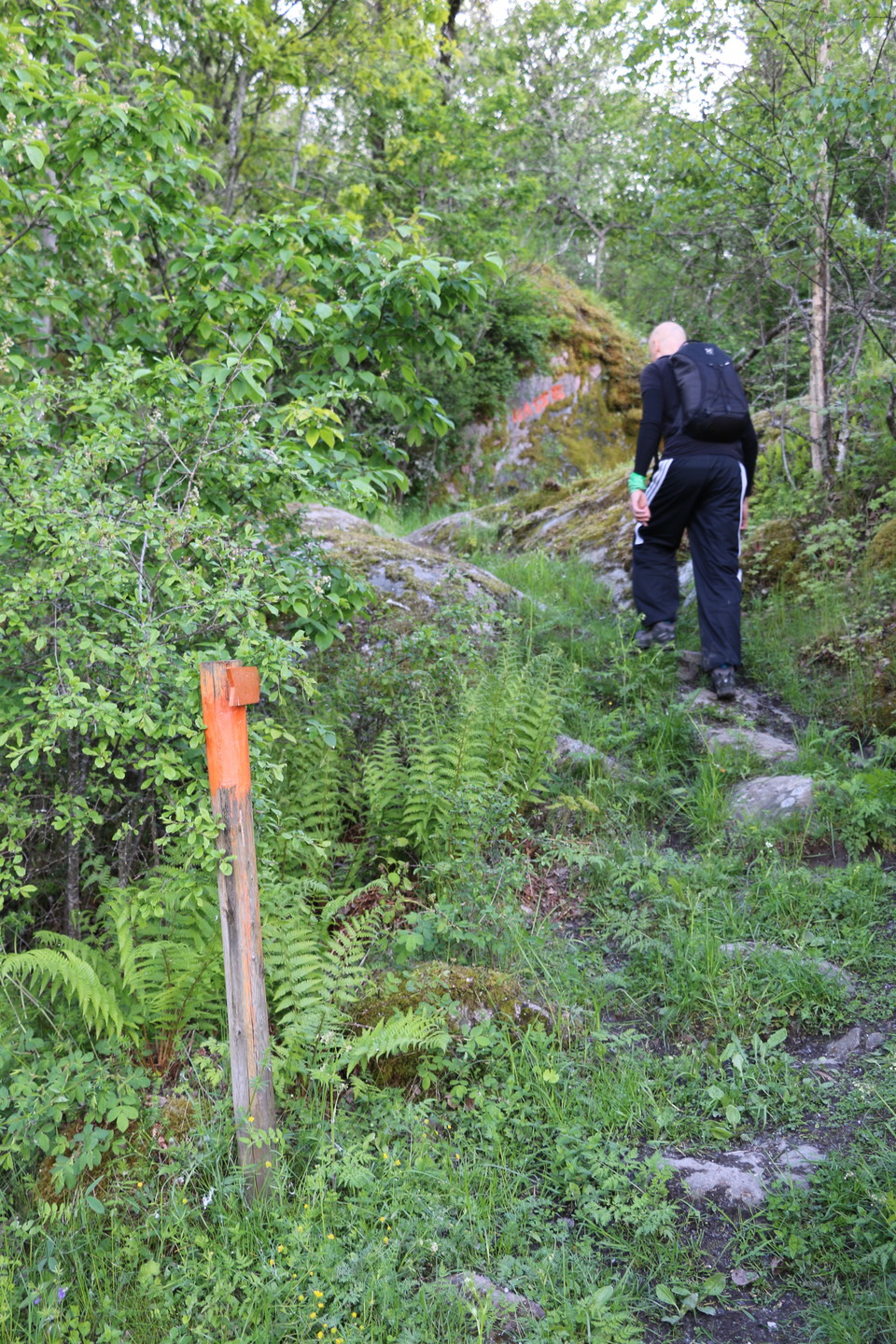
Photo: Ulrika Mogren -
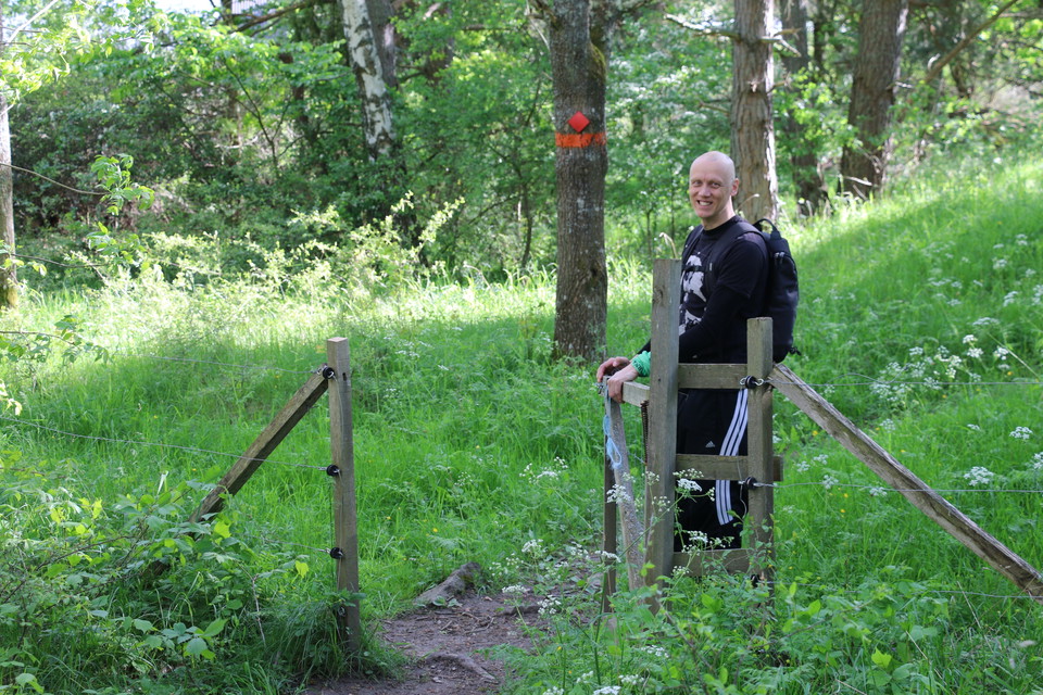
Photo: Ulrika Mogren -
Photo: Ulrika Mogren
Utörundan
- Hiking
- Guide: Länsstyrelsen Västmanlands län
- 6766.85 km away from you
Trail details
- Length 8.5 km
Actions
Description
Utörundan has two alternative routes that are 7.5 or 8.5 kilometers long. Utörundan starts from the parking lot at Ängsö Castle or at Långholm's jetty. Follow the signs and orange markings along the trail.
Utörundan has partly the same route as Bryggrundan and Grevens stig, those paths have red markings. Under links you will find a map of all the trails on Ängsö.
If you want to know more about what you can do and experience on Ängsö, visit the Westmannastiftelsen website.
Activities And Facilities
- Hiking
Contact
Address
Kontakta mig om du har frågor om Naturkartan Västmanland.
Email address
Daniel Anundi
Organization logotype
Please be aware that some of these texts have been automatically translated.
I’ve been here 74










I want to go here 58


Questions & Answers
Ask a question to other Naturkartan users.
Reviews
8 reviews
- 5 :
- 4 :
- 3 :
- 2 :
- 1 :
Users images
No user images yet. Be the first to share!

hej! finns det eldstad för möjlighet att grilla? //Maria
Under fliken Nedladdningar finns en pdf karta som pekar ut de grillplatser som finns på Ängsön. Intill eller nära Utörundan finns flera chanser att grilla t ex vid Dyvikskvarn, Dyviksparkeringen, nära utkiksplattformen vid Dahlins trädgård samt vid Långholms brygga.