

-
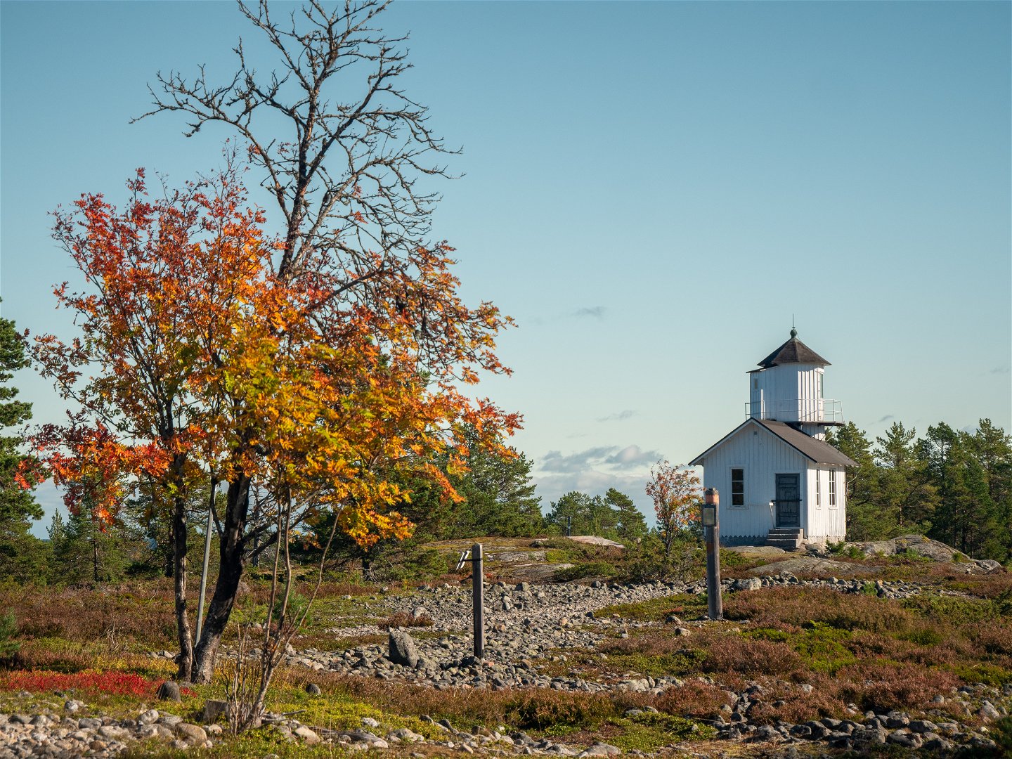
Lotsstugan och båken, byn Ratan i bakgrunden.
Photo: Linus Beimo -

Fyren.
Photo: Linus Beimo -
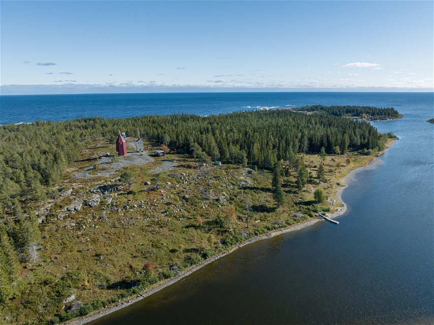
Photo: Linus Beimo -

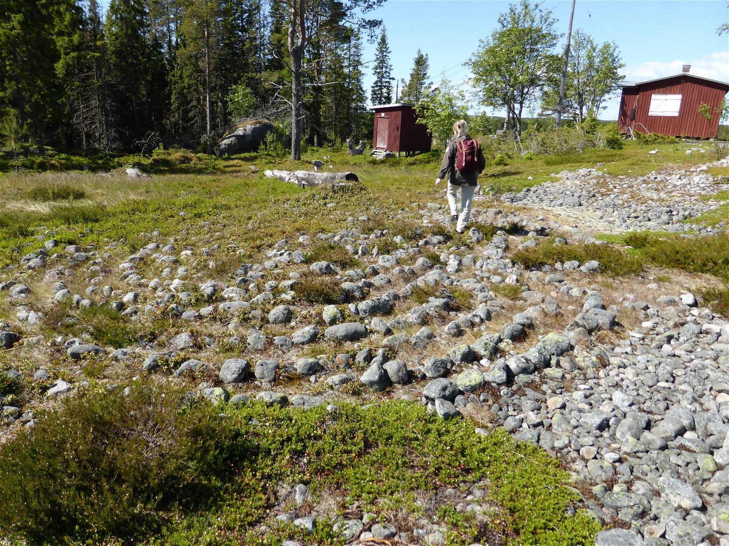
One of the labyrinths.
Photo: Ludmilla Wieslander -
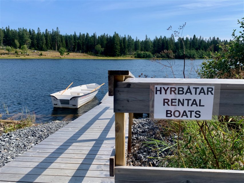
I byn Ratan kan du hyra båt för att ta dig ut till Rataskär.
Photo: Emma Johansson

Rataskär
Nature reserve
- County: Västerbottens län
- 7317.93 km away from you
Actions
Description
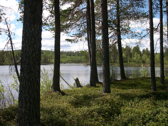
The landscape at Rataskäret is a piece of typical, Västerbotten land uplift coast. The island reaches 21 m above sea level at its highest point, and below the top there are wonderful cliffs, spruce forest and small, cut-off lake on the northern side of the island. You can also encounter exciting history on Rataskär.
A long time ago
Along Rataskär’s marked paths, there are numerous interesting relics from the past. Close to the old fishing hamlet, there are the remains of old dwellings, labyrinths and a compass rose. Near the beach are the remains of the sea customs house and an inn, providing a reminder of Ratan’s golden age during the 18th century.
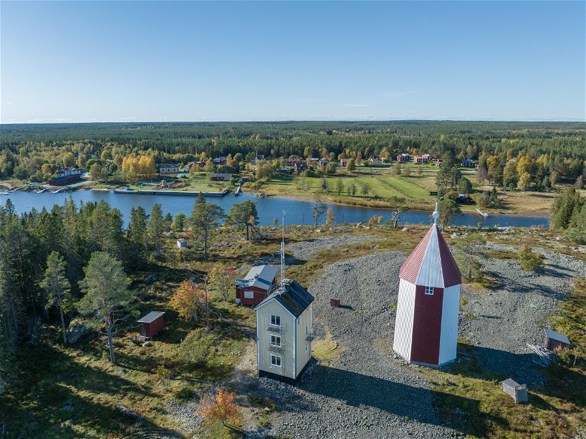
The lighthouse and the beacon
At the top of the island is the lighthouse, which was erected in 1891, as well as the old beacon. The beacon was used until the arrival of the lighthouse. The beacon was a tall structure on top of which a fire was lit. The mariners of the time would see the beacon from a long way away and know that they were approaching land.
Decreasing water level that became land uplift
When interest in land uplift or “decreasing water level” picked up speed during the 19th century, Ratan played a central role. Here, scientists carved water level marks into the rocks on the mainland from 1849. A mareograph, or sea-level recorder, was erected in 1891. There is now a new mareograph, and the reports that are heard every day on Swedish radio come from there.
Sweden’s last war
The last war to be fought in Sweden was the war against Russia between 1808-1809. On 20 August 1809, Swedes and Russians clashed in a major battle in Ratan. The nature reserve’s display stand on Rataskär has therefore taken the inspiration for its design from Russia. After all, it was actually the Russian’s who won the war!
Activities And Facilities
-
Nature reserve
Accessibility
-
 Near parking
Directions
Follow the E4 northwards approximately 16 km from Sävar. Then turn off onto the road towards Djäkneboda and Ratan and follow it for 6 km. In Ratan, you can hire a boat to get out to the island.
Contact
Email address
Länsstyrelsen Västerbotten
Organization logotype
![]()
Please be aware that some of these texts have been automatically translated.
Questions & Answers
Ask a question to other Naturkartan users.
Reviews
You might also be interested in