
-
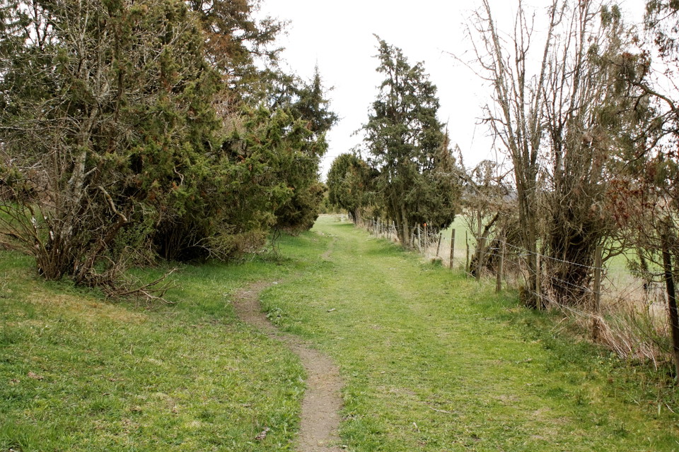
Stigen -
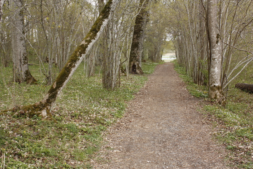
Stig i parnassen -
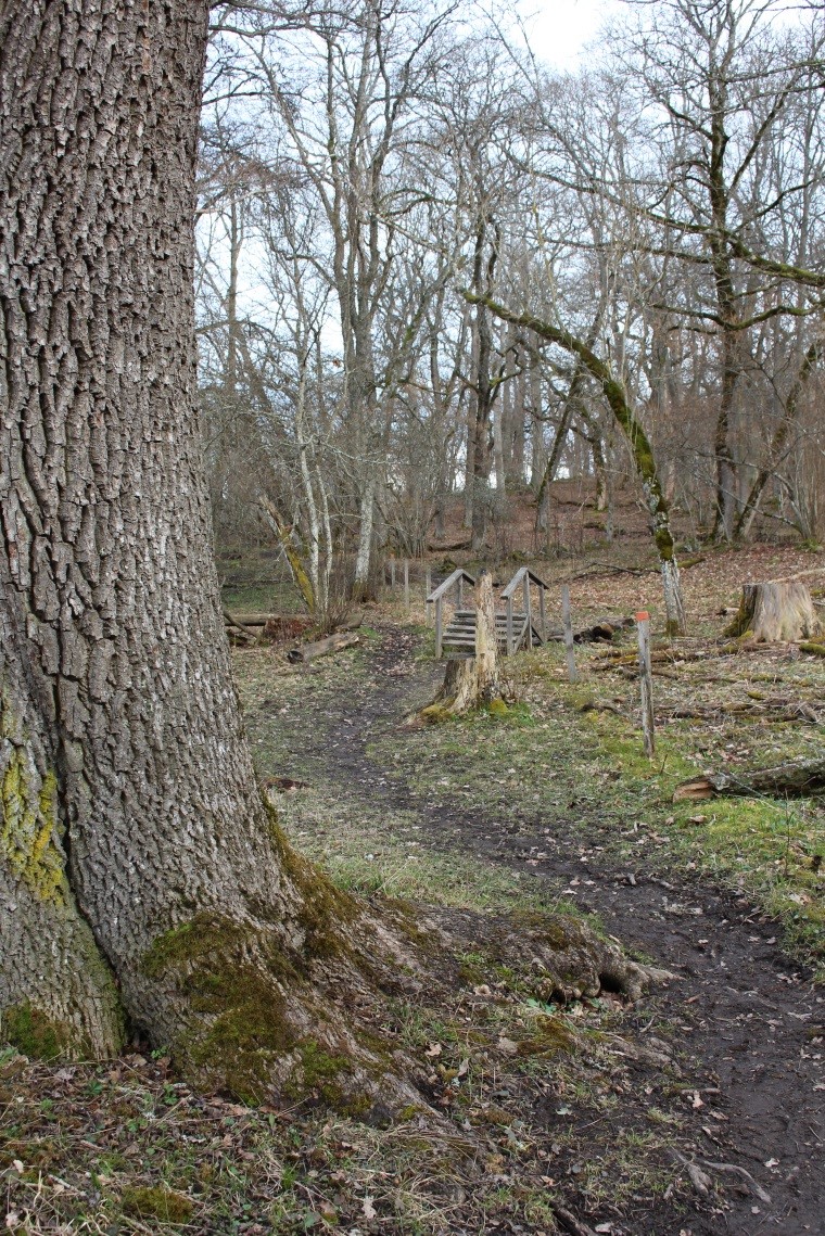
Lerigt parti av stigen -
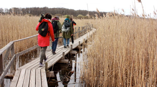
Spång till gömslet
Stig Hjälstaviken runt
- Hiking
- Guide: Uppsala läns natur
- 6783.36 km away from you
Trail details
- Length 8.0 km
Actions
Currently
Spången mellan Parnassen och Jungfrulunden avstängd
Spången mellan Parnassen och Jungfrulunden renoveras under hösten 2026. Arbetet pågår från den 14 september till och med den 30 november och genomförs etappvis. Under pågående arbete är spången avstängd på vardagar kl. 07.00–17.00. På kvällar och helger är spången öppen som vanligt.
Tillfälliga övergångar kan förekomma. Visa hänsyn, följ skyltning och iaktta försiktighet när ni passerar arbetsområdet.
Observera: Spången mellan Jungfrulunden och gömslet berörs inte av entreprenaden och är öppen som vanligt under hela renoveringsperioden.
Tack för visad hänsyn!
För mer information, se länsstyrelsens hemsida.
Description
There is a trail around Hjälstaviken that is about 8 km long. The standard of the path varies in different parts of the reserve.
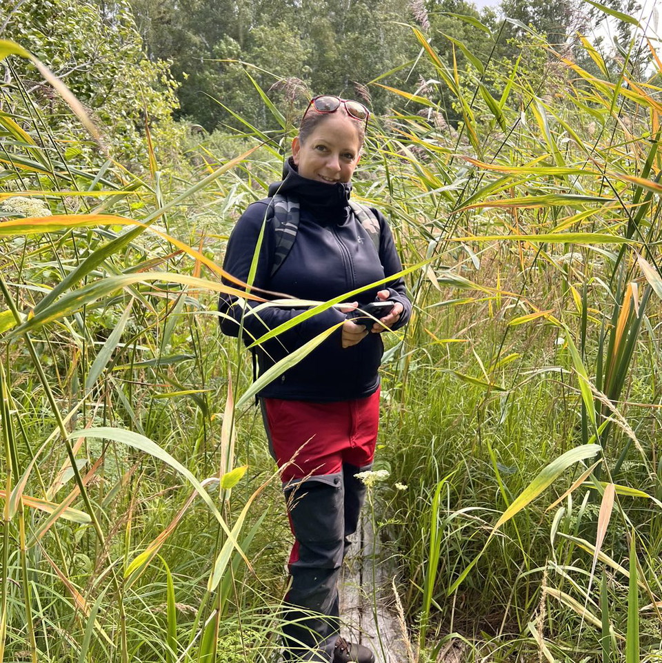
From the entrance at Hårby there is a gravel road to the bird tower. Here it is possible to get around with a pram or wheelchair. Between the bird tower and Parnassen, the path goes through a cow pasture on the beach meadows. It can be wet and muddy here. There are footbridges on the wettest parts.
From Parnassen, the path continues over paths to the hiding place at Jungfrulunden. Along the path there are some meeting places. Between the hiding place and Jungfrulunden itself, the path is wider and can be used by wheelchairs or prams.
At the toilet in Jungfrulunden, the path splits into two parts. One goes up to Kvarnberget. The path up is steep and uneven. There is a log halfway up as a resting place. The other path goes below Kvarnberget. It is a bit uneven with protruding roots here and there. The two paths meet again at the eastern hill.
From the eastern hill, the path continues along the meadow. A bridge and some footbridges take you towards Stora backen. Between Stora backen and the parking lot in Skönsberg, the path goes on over hills. The last stage from Skönsberg back to Hårby you walk over open beach meadows. Here the path can be wet and muddy.
Activities And Facilities
- Hiking
Contact
Email address
Länsstyrelsen i Uppsala län
Please be aware that some of these texts have been automatically translated.
I’ve been here 66











I want to go here 77







Questions & Answers
Ask a question to other Naturkartan users.
Reviews
5 reviews
- 5 :
- 4 :
- 3 :
- 2 :
- 1 :
Fin lättvandrad slinga, bra med ved vid eldplats.
Som tidigare nämnt, snarare 9 km än 8km runt.
Users images
No user images yet. Be the first to share!

Inte en favorit...
Jag parkerade vid Skönsberg o delen mellan skönsberg-Hårby hade gräs upp till under armarn o det var svårt att se leden, där hade man gärna kunnat hållt efter o klippt ner en del.. sen hade jag oturen att det blev hällregn precis då 🫣
Det kändes lite otryggt att gå med hund bland lösa kossor och sen också att ALLA kossorna stod precis med huvudet över spången till Stora backen som var min sista km och går man med hund vill iallafall inte jag utmana läget o gå under mulen på dom då dom kan vara lite väl nyfikn så vi fick gå runt ut på vägen och lägga till ca 2.5km.. så nej den gör jag nog inte om, inte med hund i alla fall