Images
-
Vandrare
4. Marma – Ӓlvkarleby, 13 kilometres
Suitable for: Those who want an easy-to-hike stretch, but who still want to walk mostly on paths, and those who want to take public transport to and from the trail.
Distance: 13 kilometres Start: Marma station. The start of the stretch itself is by the swimming spot, along road 291. End: Ӓlvkarleby’s tourist hotel, or Ӓlvkarleby station Facilities: Train and bus stations in both Marma and Ӓlvkarleby, shelter with fireplace at the Gropholmarna nature reserve, Laxön with café, etc. Water: From the Gröna Källan market garden in Ӓlvkarleby, available during opening hours Terrain: Even forest paths Nature type: Riverbanks, pine forests
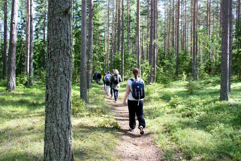
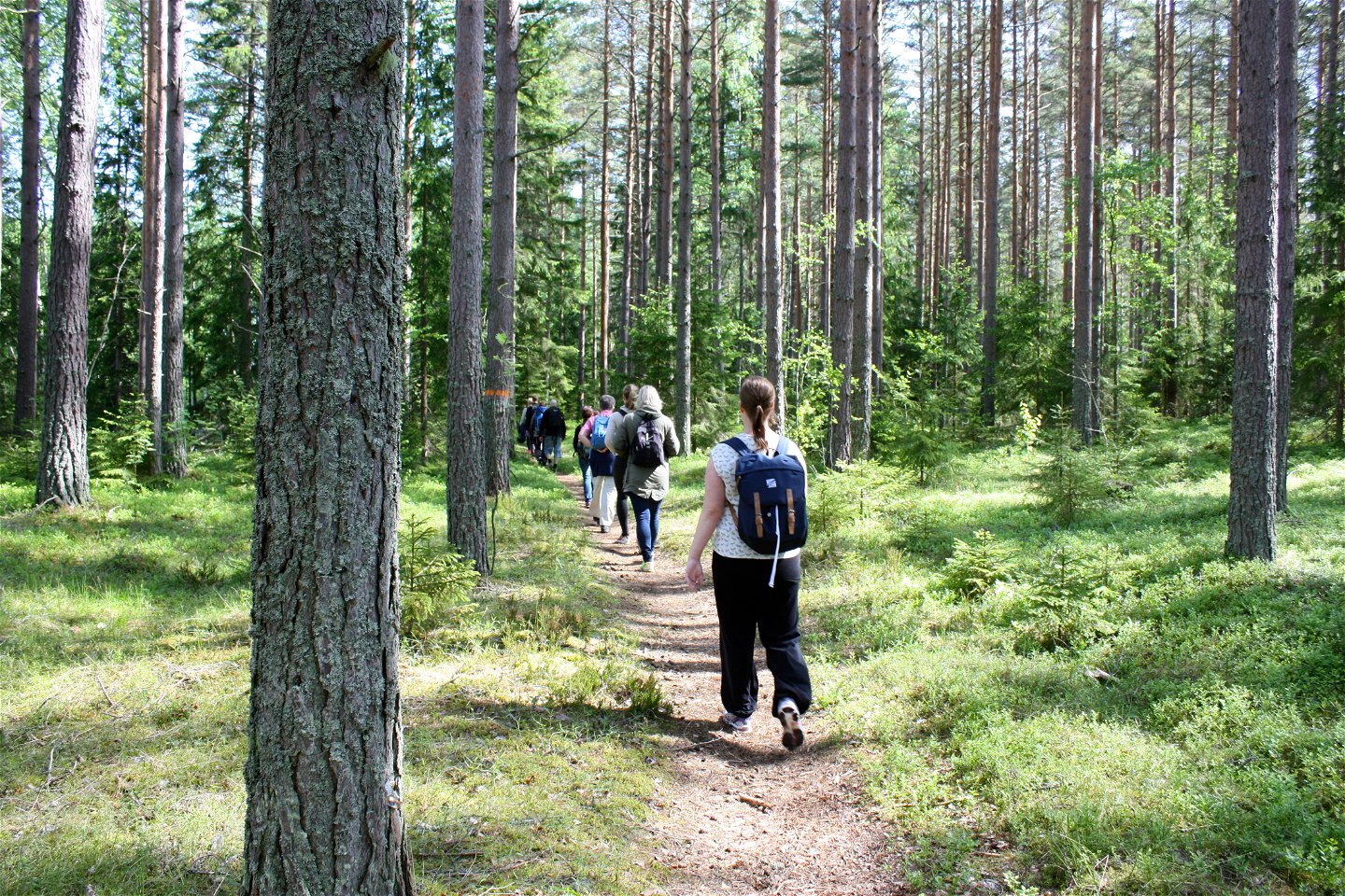
Enjoy perhaps the most beautiful stretch of the Upplandsleden Trail! Section 16 starts by the parking area next to the River Dalälven in Marma. There is a break spot and swimming spot here. 500 metres east is a train station for the Upptåget train. The hike up towards Ӓlvkarleby is on easily navigated sandy ground, and takes you past a nature reserve, mostly on paths along the River Dalälven.
In Ӓlvkarleby, you can turn left when the trail reaches Laxön, to reach the train station. Or continue to the end of the section by Ӓlvkarleby’s tourist hotel.
Part of the Upplandsleden Trail: Section 16
Find it The trail follows the stretch of the River Dalälven in northern Uppland.
By car: The start is at the swimming spot in Marma, along road 291. By bus or train: In Marma, the bus and train station is in the town, around 500 metres from the start of the section. Once in Ӓlvkarleby, there are train and bus stations close to the trail.
Categories
-
 Hiking
Contact
Email address
Upplandsstiftelsen
Organization logotype
![]()