
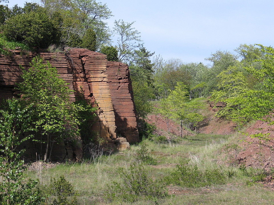

Österplanarundan
- Hiking
- County: Västra Götalands län
- 6646.50 km away from you
Trail details
- Length 6.0 km
- Time 1 h 40 min
- Difficulty Blue — medium
Actions
Description
Activities And Facilities
- Hiking
Parking
By car: Park at Österplana hedge and embankment which is adjacent to the hiking trail.
Directions
By car: Park at Österplana hedge and embankment which is adjacent to the hiking trail.
Contact
Address
För frågor om ledens sträckning, drift och skötsel samt boenden, restauranger och andra besöksmål i området, kontakta Destination Läckö-Kinnekulle.
Email address
Destination Läckö-Kinnekulle
Organization logotype

Please be aware that some of these texts have been automatically translated.
I’ve been here 1

I want to go here 4

Reviews
4.3
1 review
- 5 :
- 4 :
- 3 :
- 2 :
- 1 :
Questions & Answers
Ask a question to other Naturkartan users.
Users images
Share your photos of the place!
