
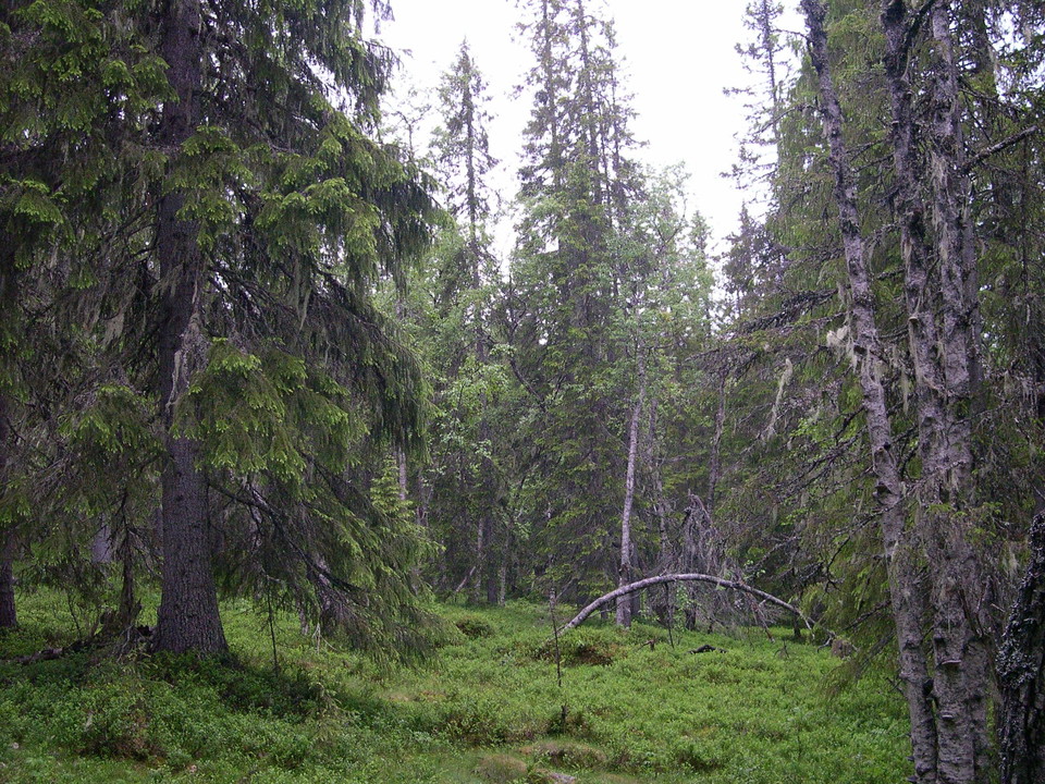
Grovsjöbrännan
- Nature reserve
- County: Västerbottens län
Actions
Description
Activities And Facilities
- Nature reserve
Directions
The reserve is located just over 30 km east-northeast of Åsele.
Contact
Email address
Länsstyrelsen Västerbotten
Organization logotype
Please be aware that some of these texts have been automatically translated.
I’ve been here 3

I want to go here
Reviews
—
0 reviews
- 5 :
- 4 :
- 3 :
- 2 :
- 1 :
Questions & Answers
Ask a question to other Naturkartan users.
Users images
Share your photos of the place!
