
-
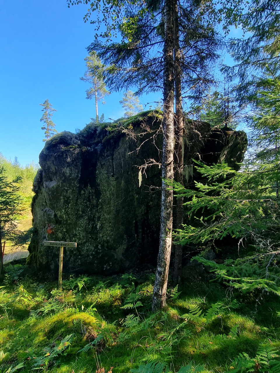
Kyrkstenen har gett leden sitt namn.
Photo: Arvika Turistbyrå -
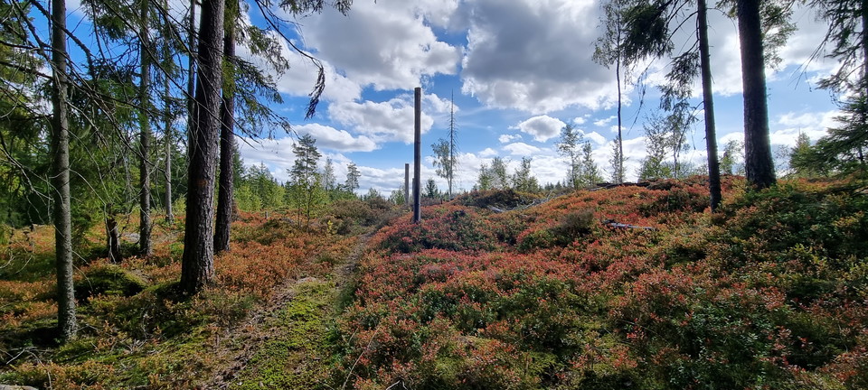
Stig över hygge i höstfärger.
Photo: Arvika Turistbyrå -
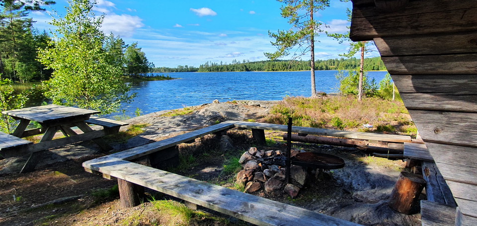
Vindskydd vid Ämten, 300 m från leden.
Photo: Arvika Turistbyrå -
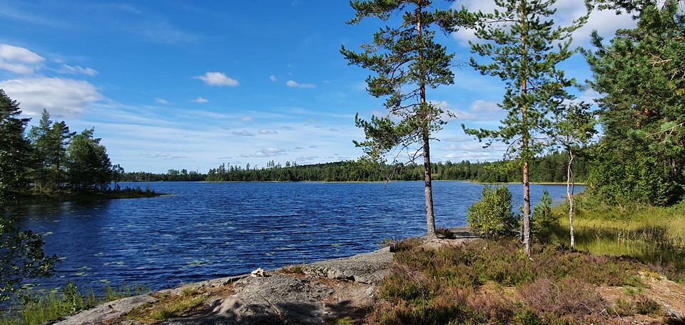
Vindskydd vid Ämten, 300 m från leden.
Photo: Arvika Turistbyrå -
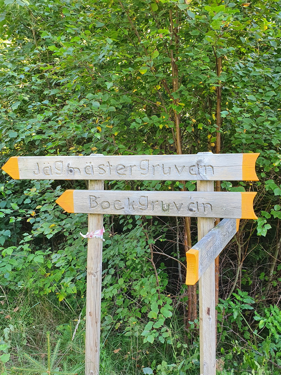
Skyltning till gruvområde, 400 m från leden.
Photo: Arvika Turistbyrå -
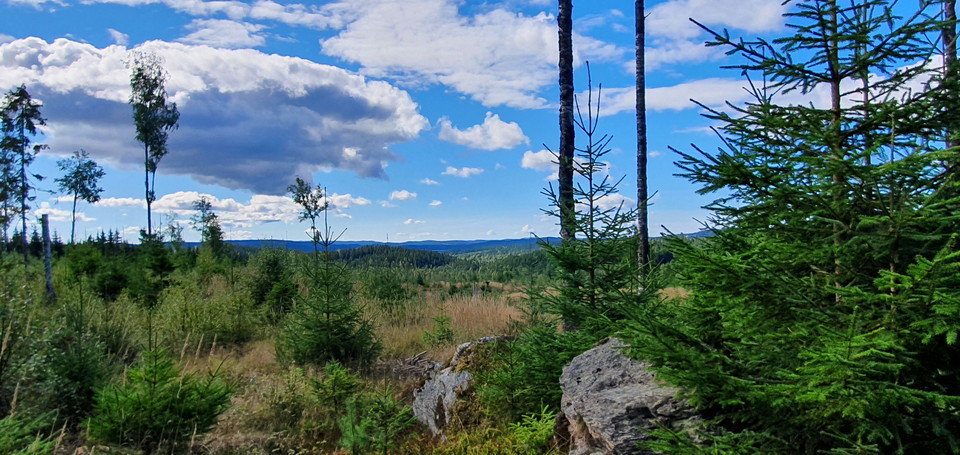
Vy från norra delen av leden.
Photo: Arvika Turistbyrå -
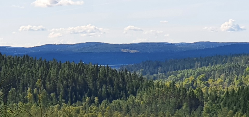
Vy mot söder, över sjön Stor-Treen.
Photo: Arvika Turistbyrå -
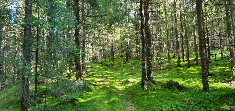
Kärrväg upp mot Lövhöjden.
Photo: Arvika Turistbyrå
Kyrkstensleden
- Hiking
- Archaeological
- County: Värmlands län
- 6535.01 km away from you
Trail details
- Length 6.0 km
- Difficulty Blue - medium
Actions
Description
Activities And Facilities
- Hiking
- Archaeological
Facts
Marked with orange color on trees or signs. Map available in a separate PDF.
Mobile coverage is normally available along the entire trail.
Surface
Mostly wide path or old track, some parts forest road or forest paths.
Hills
Easy hiking.
Parking
Spacious parking at Lafallhöjden.
Communications
Unfortunately, the site is not accessible by public transportation.
Directions
Proposed starting point Lafallhöjden, Fredros, Gunnarskog: longitude 12.596, latitude 59.931.
Contact
Address
Visit Arvika
Arvika Turistcenter
Storgatan 22
SE 671 31 Arvika
www.visitarvika.se
Email address
Visit Arvika
Organization logotype

Please be aware that some of these texts have been automatically translated.
I’ve been here 1

I want to go here 6

Questions & Answers
Ask a question to other Naturkartan users.
Reviews
0 reviews
- 5 :
- 4 :
- 3 :
- 2 :
- 1 :
Users images
No user images yet. Be the first to share!
