
Stig, Lortfjärden
- Hiking
- County: Uppsala län
- 6796.95 km away from you
Trail details
- Length 1.0 km
Actions
Description
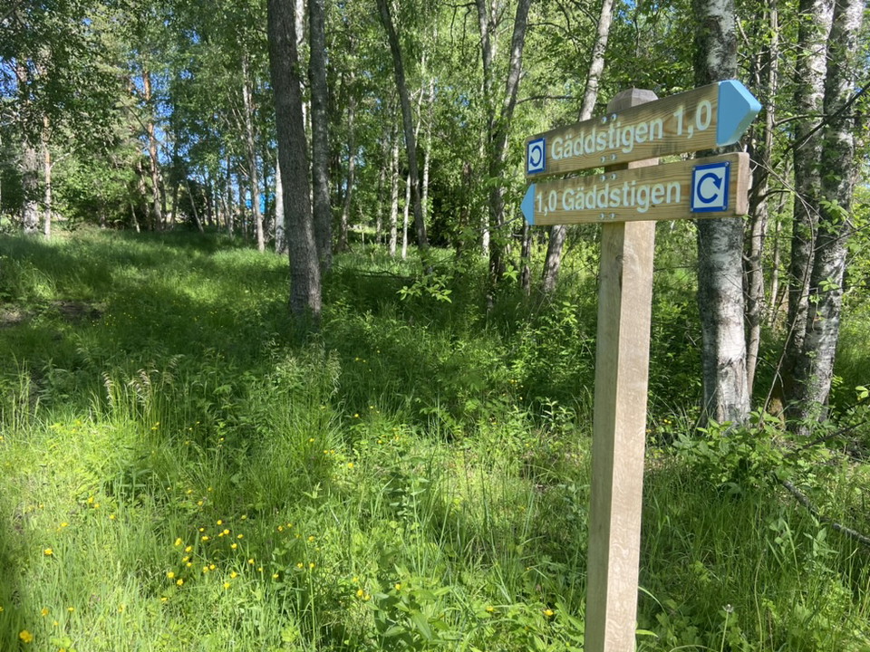
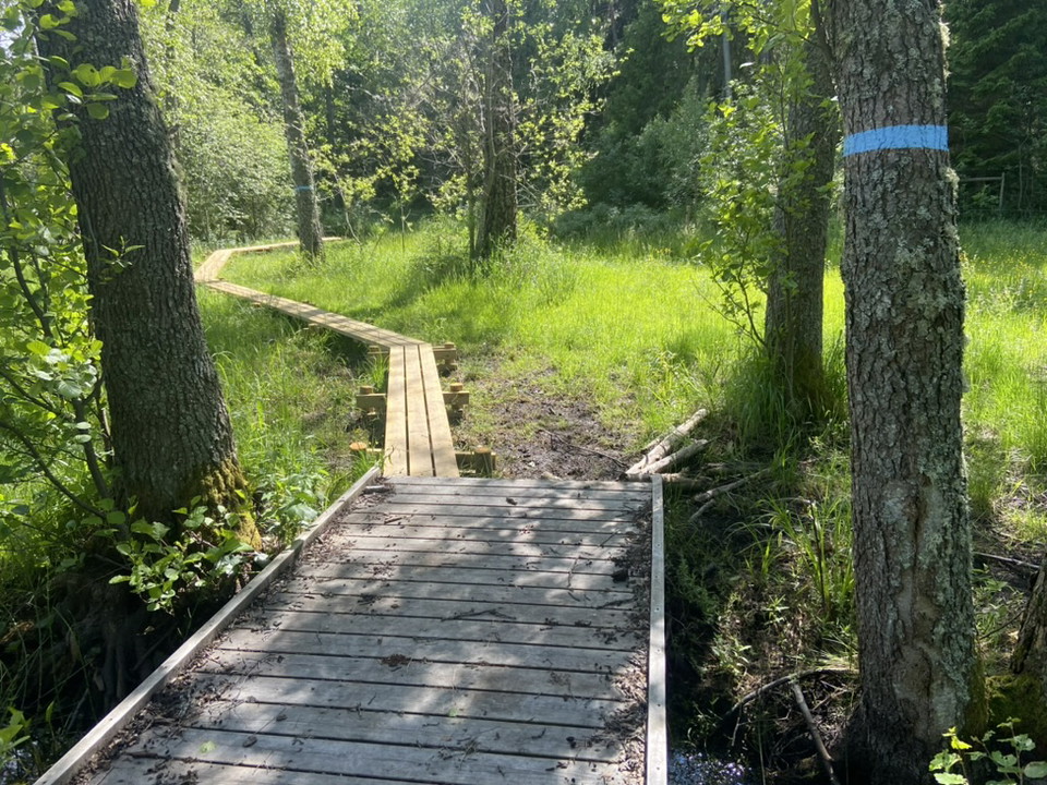
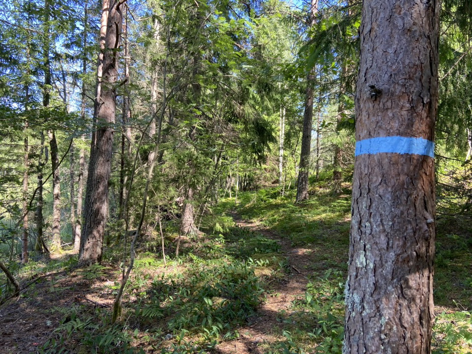
There is a 1 km trail around the Lortfjärden wetland. It starts at the parking lot, goes through the pasture and into the forest on the south side. The path through the forest contains some stones and roots and can be a bit wet at times. You pass a cliff with a bench where you get a view of the wetland.
On the hill north of the wetland there is a picnic table. In the eastern part, you can see the stream channel created to allow fish to migrate up to the wetland in spring to spawn.
Activities And Facilities
- Hiking
Contact
Email address
Upplandsstiftelsen
Organization logotype

Please be aware that some of these texts have been automatically translated.
I’ve been here 1

I want to go here 1
Questions & Answers
Ask a question to other Naturkartan users.
Reviews
0 reviews
- 5 :
- 4 :
- 3 :
- 2 :
- 1 :
Users images
No user images yet. Be the first to share!
