
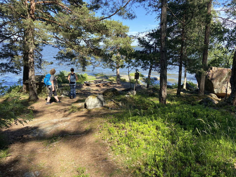
Österbyuddslingan, Härjarö
- Hiking
- County: Uppsala län
- 6797.82 km away from you
Trail details
- Length 2.5 km
Actions
Description
Österbyuddslingan is marked in yellow and starts at the parking lot at Österby backe. It follows the road down towards the campsite, but just before the toilet and the campsite it turns left to take you out towards the water. You then walk close to the water around the entire Österby udd and pass four rest areas with fireplaces. If you want to grill, there is a central wood store at the campsite. The last bit you leave the water and walk through the forest back to the parking lot.
Activities And Facilities
- Hiking
Contact
Email address
Upplandsstiftelsen
Organization logotype

Please be aware that some of these texts have been automatically translated.
I’ve been here 2


I want to go here
Questions & Answers
Ask a question to other Naturkartan users.
Reviews
0 reviews
- 5 :
- 4 :
- 3 :
- 2 :
- 1 :
Users images
No user images yet. Be the first to share!
