
Booleden
- Hiking
- Running
- Near parking
- County: Stockholms län
- 6844.58 km away from you
Trail details
- Length 15.0 km
Actions
Description
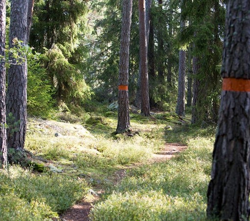
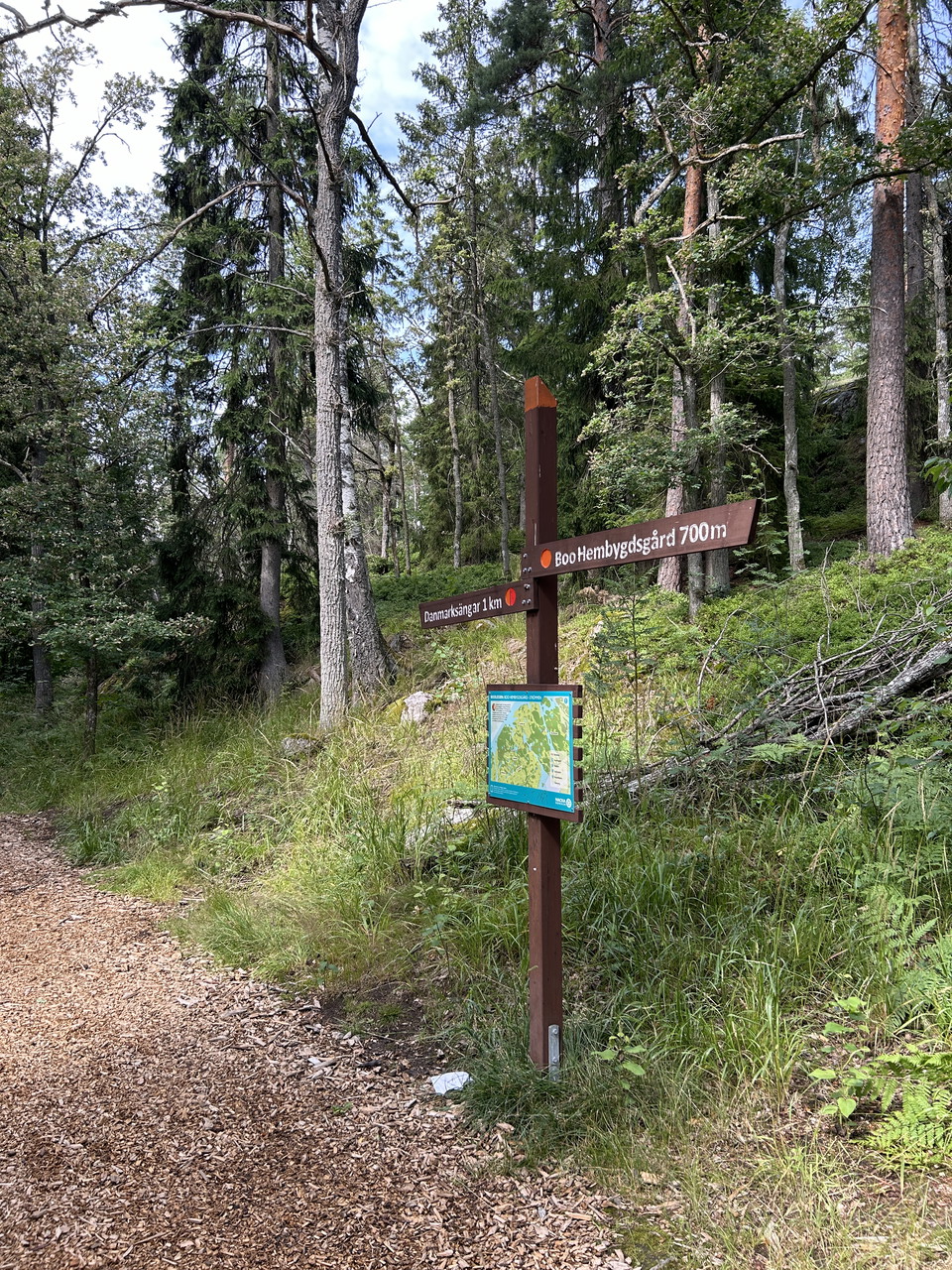
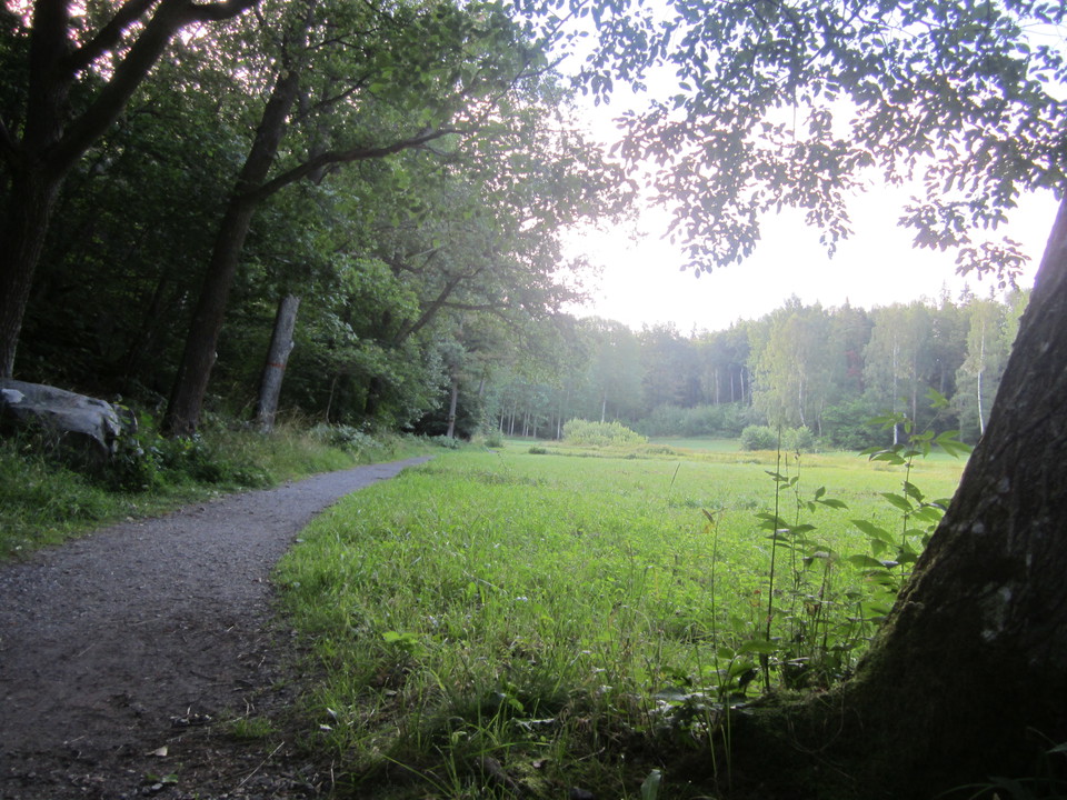
The Boo Trail is about 15 km long and runs along its entire length from Boo hembygdsgård in Orminge to Strömmen on the border with Värmdö. Here the Värmdö trail takes over. Together, these trails stretch a full 4 miles. On the way you pass lakes, viewpoints, ancient monuments and cultural history sites. The Boo trail is marked with orange bands on trees or poles. The hiking trail runs through forests and over rocky areas, past small forest lakes and across meadows. Stora Ängsviken is located in a protective ravine and offers views of Saltsjön. From Himlaberg, the highest point in the inner archipelago (70.4 m), the view is breathtaking over forest and sea from Vaxholm in the north to Tyresö in the south. On the slope below is a shingle field, a 6,000-year-old geological formation.
Activities And Facilities
- Running
- Hiking
Accessibility
- Near parking
Directions
Booleden starts at Boo hembygdsgård. The stop is called Nämdöstigen. You can also go to the center of Orminge and walk from there to the homestead. Nämdöstigen is the continuation of the walkway through the park in Orminge. If you come by car, there is a parking lot at Sjöängsvägen when you have passed the villas and townhouses in Sjöängen. From the parking lot you can walk directly onto Booleden.
Contact
Email address
Sandra Ermalm, vilt- och naturförvaltare
Organization logotype

Please be aware that some of these texts have been automatically translated.
I’ve been here 43









I want to go here 93
















Questions & Answers
Ask a question to other Naturkartan users.
Reviews
10 reviews
- 5 :
- 4 :
- 3 :
- 2 :
- 1 :
Det finns inga restriktioner beträffande att cykla på Booleden. Är det för problematiskt att ta sig fram kan man ju alltid leda cykeln. Undvik metalldubbar då dessa skrapar berghällarna.
Users images
No user images yet. Be the first to share!


Förbi Myrsjön är leden under all kritik - och sannolikt farlig för vissa. Behöver minst röjas upp. Att gå runt sjön på andra sidan är en rekommendation. Maj 2020