
-
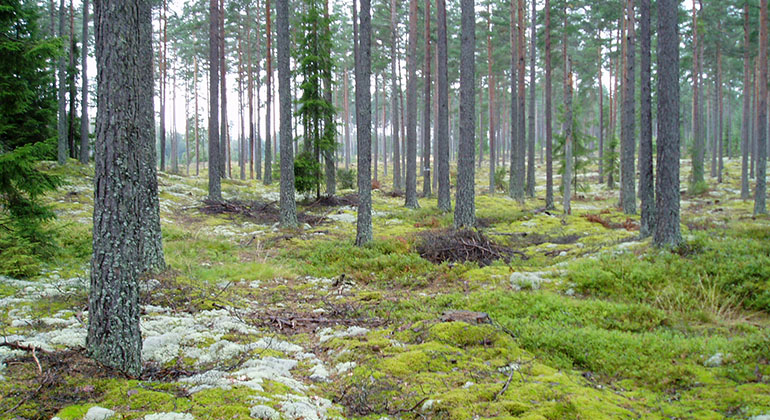
Vissbodamon.
Photo: Astrid Andersen -
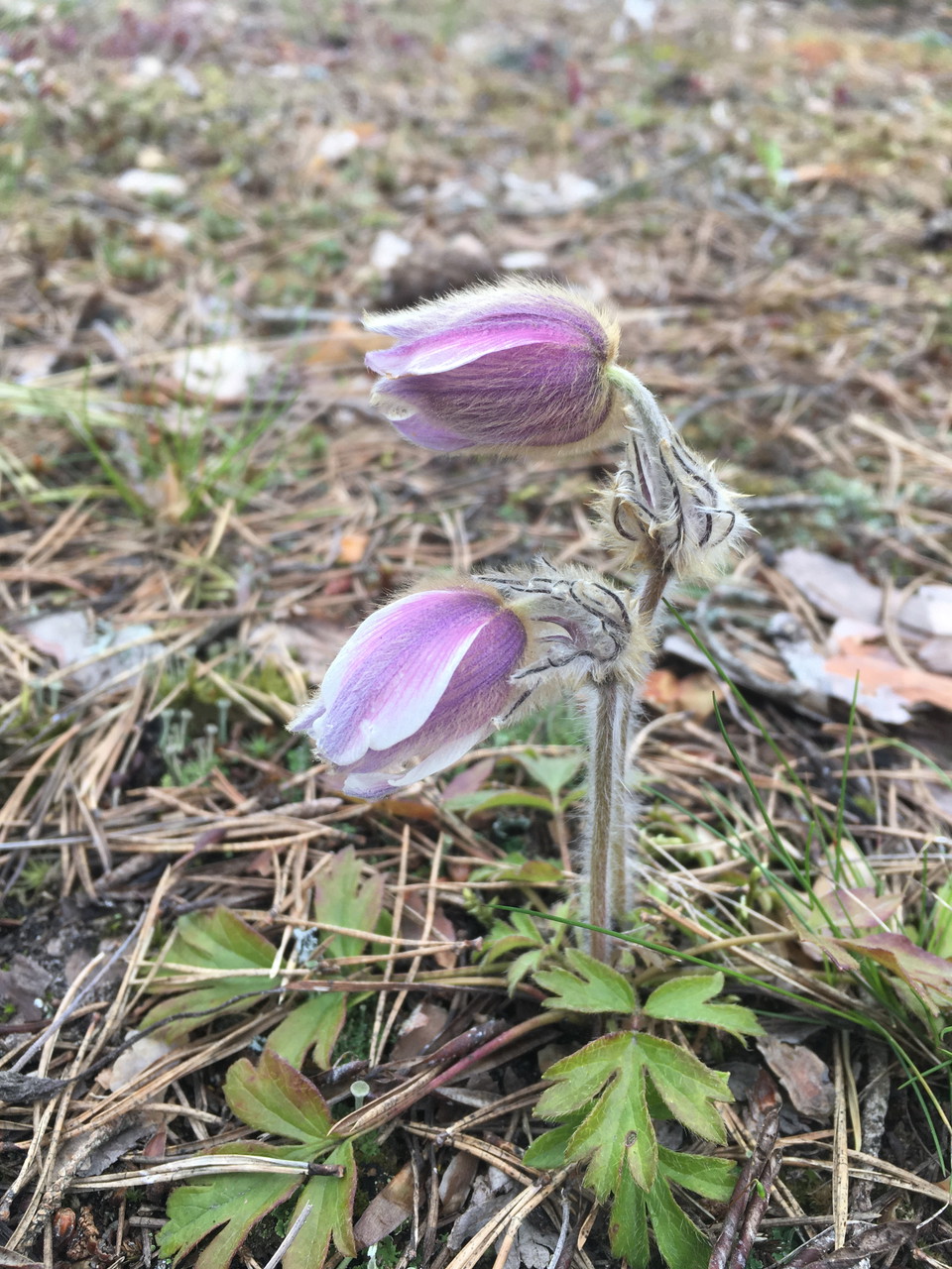
Mosippa foto: Kersti Beck Larsson
Vissbodamon, Naturreservat
- Nature reserve
- County: Örebro län
Actions
Description
The Vissbodamon nature reserve is part of the vast sand field that was deposited next to Hallsbergsåsen, the pebble ridge that lies just east of the reserve. As the area rose out of the sea after the end of the Ice Age, the sand was worked by the wind and large dunes were formed.
Sand dunes
In the southern part of the reserve there is a long, twelve meter high sand dune. There are also several lower dunes shaped like hills. The dry, sandy soil is mostly covered with pine forest and lichens. The creeping stems of the small, delicate linen plant form mats, and together with many different lichens and mosses, it covers the ground surface in drier parts of the area.
Mosippa
Blueberries, hemlocks and lingonberries are abundant in wetter areas. The rare and protected cypress buttercup grows in some places. There is also a small population of the rare marsh marigold. It used to be more common in the reserve but has been outcompeted by moss and bilberry. It requires exposed soil or burnt surfaces for its seeds to germinate. Efforts are now underway to remove moss and burn some areas of the reserve, to expose soil and, if possible, increase the numbers of the mushroom.
Activities And Facilities
- Nature reserve
Facts
Municipality: Askersund
Established: 1962 (3.5 ha), boundary change 1978, expanded 1984 (9 ha)
Area: 13 hectares
Landowners: Sveaskog AB and individual
Manager: County Administrative Board
Reserve creator: County Administrative Board
Directions
Take highway 50 from Brändåsen towards Åsbro. Shortly after the sign "Kassmyra", take the small road to the right, just before the municipal information board. There is parking and a small loop.
Regulations
In the nature reserve it is forbidden to:
- make fires
- damage ground and surface forms
- pick flowers or damage the area's plants by picking, seed extraction or digging
- drive motor vehicles other than in the designated parking lot and at the specified time of day
- camping or setting up a caravan overnight
- riding horses or bicycles
- affixing a board, poster, placard, sign, inscription or similar device
- organize orientation checks or marked trails
Contact
Email address
Organization logotype

Please be aware that some of these texts have been automatically translated.
I’ve been here 2
I want to go here 3

Questions & Answers
Ask a question to other Naturkartan users.
Reviews
0 reviews
- 5 :
- 4 :
- 3 :
- 2 :
- 1 :
Users images
No user images yet. Be the first to share!
