
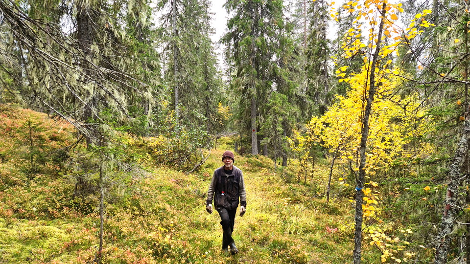


Vandringsstig Bergmyran, Gallejaur
- Hiking
- County: Norrbottens län
- 6572.06 km away from you
Trail details
- Length 6.0 km
Actions
Description
Activities And Facilities
- Hiking
Communications
There is a parking lot near the trailhead in Gallejaur. Directions there are on the page about Gallejaur. To the other end of the trail, at Bergmyrbäcken, there is a poor forest road from Järvträsk, unclear if the road is passable. From the turntable where the trail connects, it is 1.2 kilometers down to the road to Gallejaur. From there it is another 1.1 kilometers to the village of Järvträsk.
Contact
Email address
Länsstyrelsen Norrbotten
Organization logotype
Please be aware that some of these texts have been automatically translated.
I’ve been here 1
I want to go here 3


Reviews
—
0 reviews
- 5 :
- 4 :
- 3 :
- 2 :
- 1 :
Questions & Answers
Ask a question to other Naturkartan users.
Users images
Share your photos of the place!
