
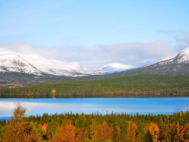

Åre

Best hiking trails in Åre

Naturkartan samlar de vandringslederna i Åre som är populärast bland våra användare.

Map

49 Best hiking trails in Åre

Hiking

Sandtjärnsrundan

  • Municipality: Åre
  • 6346.80 km away from you
  • 6.8 km

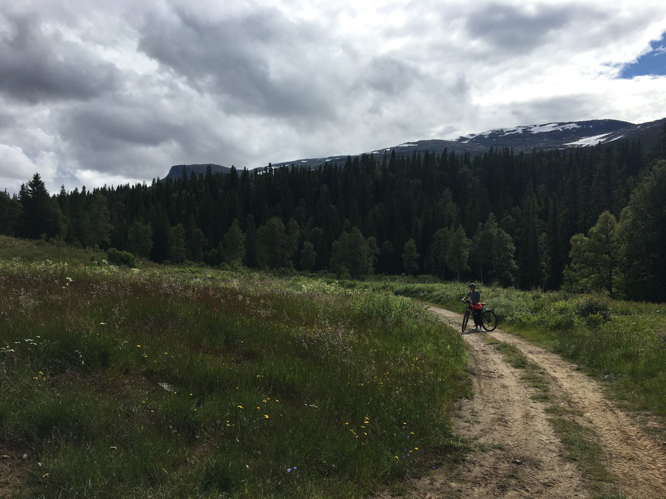
Classic tour for both cycling and hiking. Start at the Sandtjärn rest area. The trail starts in a flatter terrain before an easier climb up Sandtjärnrun. Continue past the windbreak at Hjärttjärn and turn left towards the highest point. From here you have m…
Hiking

Farfartjärn

  • Municipality: Åre
  • 6349.97 km away from you
  • 3.0 km

En vandring för hela familjen Börja vid Storliens Fjällgård. Fortsätt förbi NSF scouternas stugby och vidare ut mot myrarna och de öppna vidderna. Du lämnar både röd och gul led innan du kommer till den spektakulära Björksalen. I björkskogen börjar stigning…

Hiking

Lyxlinjen

  • Municipality: Åre
  • 6347.66 km away from you
  • 3.1 km

**Family-friendly hike with nice swimming and rest areas Green-white marking Start at Rastplats Sandtjärn. A circular walk around the entire Norder Sandtjärn. Follow the path to the windbreak. Choose yourself which direction you continue. Nice footpaths alo…

Hiking

Storlien - Storvallen

  • Municipality: Åre
  • 6347.84 km away from you
  • 7.2 km

**Varied forest trail for both hikers and cyclists Light pink marking Start at the Sandtjärn rest area. You follow the shoreline of both Sandtjärnarna lakes, after that the trail turns off over some boardwalked bogs and up on rocks before you pass a bridge…

Hiking

Visjövalen - Storlien

  • Municipality: Åre
  • 6349.42 km away from you
  • 3.5 km

**A trail for walking and cycling so you don't have to walk along the E14 The trail starts on the edge of the Visjövalen cottage area. A flat trail that takes you over the marshes on footbridges and slightly uphill along the E14. Further a short bit in the…

Hiking

Hyttstigen (vandringsled, Huså)

  • Municipality: Åre
  • 6385.76 km away from you
  • 2.5 km

Hyttstigen is a hiking trail that runs through Husås heart of history. You start at the copper men and walk along the Husån river and all the monuments that exist, turn over the bridge and through the Husåspelens playground, up through the woodwork (demandi…

Hiking

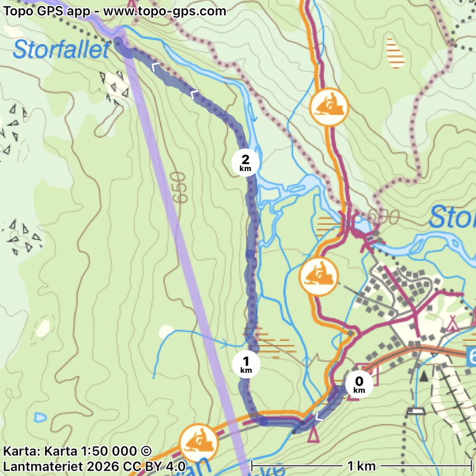
Led mot Storfallet, södra sidan led 203 (sommarled, Oviksfjällen)

  • Municipality: Åre
  • 2.9 km
  • 63
  • Difficulty: Blue

The marked trail starts at the far end of the Höglekardalen cabin area. About 50 meters west of Höglekardalens Fjällpensionat go to the right and follow the road down among the cabins, when you reach the river follow the path on the same side. After 75 mete…

Best hiking trails in Åre

Naturkartan samlar de vandringslederna i Åre som är populärast bland våra användare.

Naturkartan

Open this in the app
