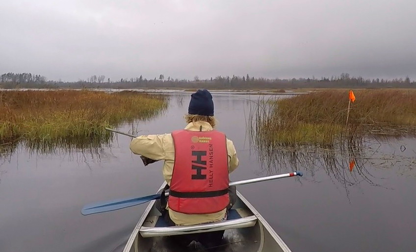
• Flagga för navigering genom Steningen
    Flagga för navigering genom Steningen
  • Photo: Jimmy Peltz

Info Steningen

  • Information
of 5 stars

Actions

  • Directions

Description

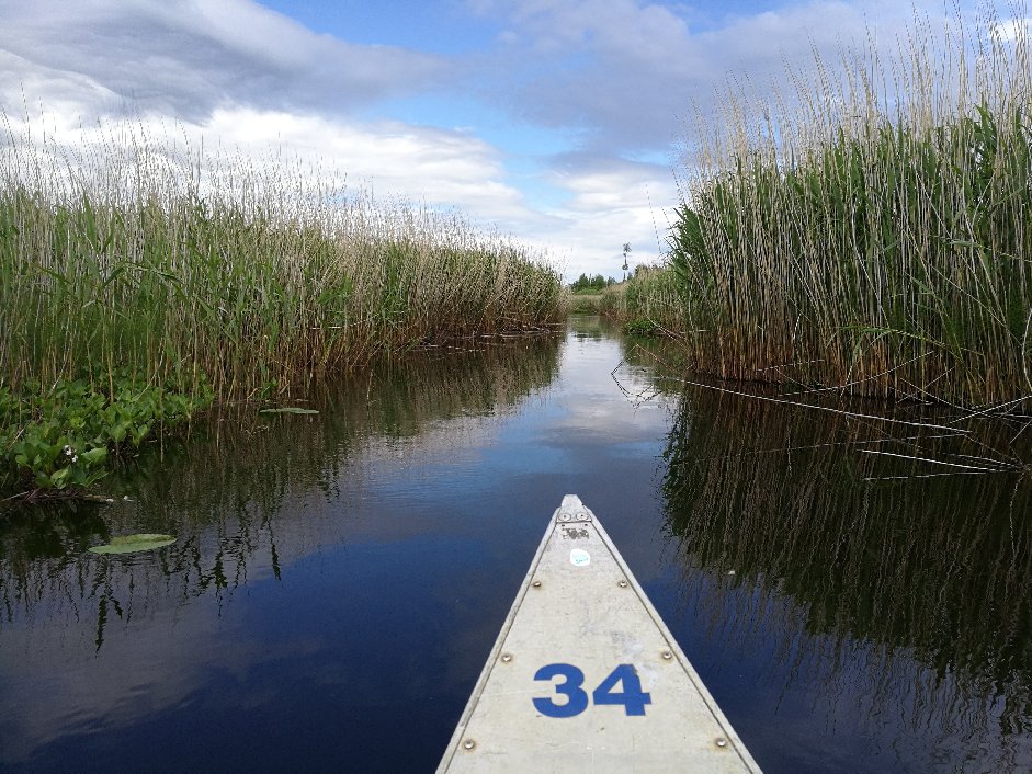
Lake Steningen is a very shallow lake and at the same time difficult to navigate. Therefore, there are exposed orange marks that the canoeist should follow to find the right way. When the water level starts to get so low that it is barely possible to paddle the canoe trail, which happens sometime every summer, it is usually in Steningen that it is first noticed.

Lake Steningen is a real bird lake, so keep your eyes open and sneak through the reeds to see many different species of birds. Who knows, maybe you will also manage to wake a wild boar that likes to lie and sleep in the reeds during the day.

Weather forecast (at 12:00)

Loading…

Get here by public transport

Activities And Facilities

  • Information

Contact

Email address

Älmhults turistinformation

I’ve been here 1

I want to go here

Questions & Answers

Ask a question to other Naturkartan users.

Reviews

—

0 reviews

of 5 stars

5 :
0.0%
4 :
0.0%
3 :
0.0%
2 :
0.0%
1 :
0.0%

Users images

No user images yet. Be the first to share!

Naturkartan

Open this in the app