
-
-
Kartbild -
-
-
-
-
-
-
-
-
-
-
-
-
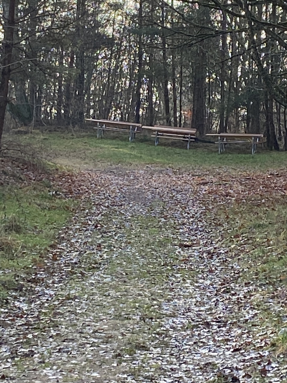
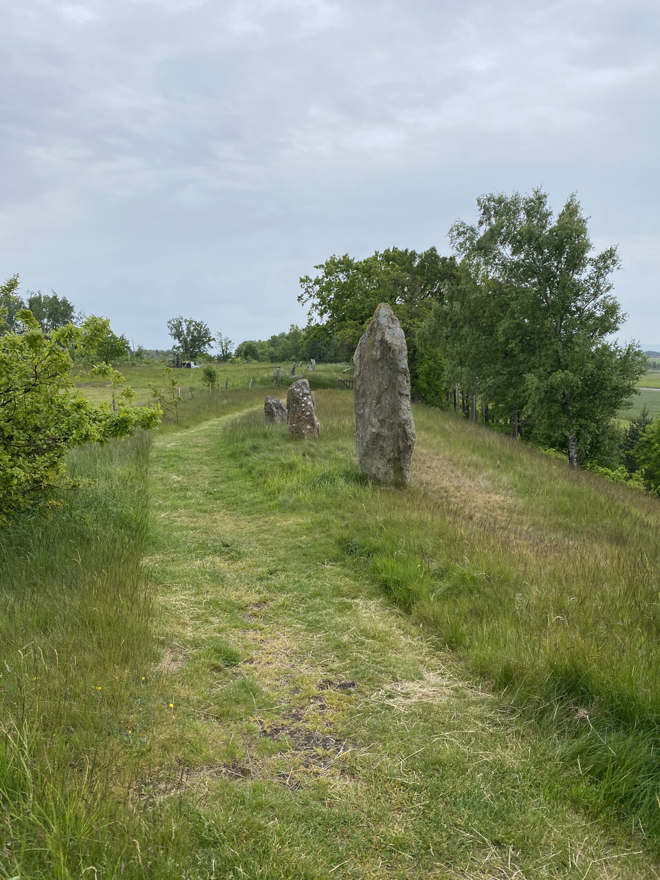
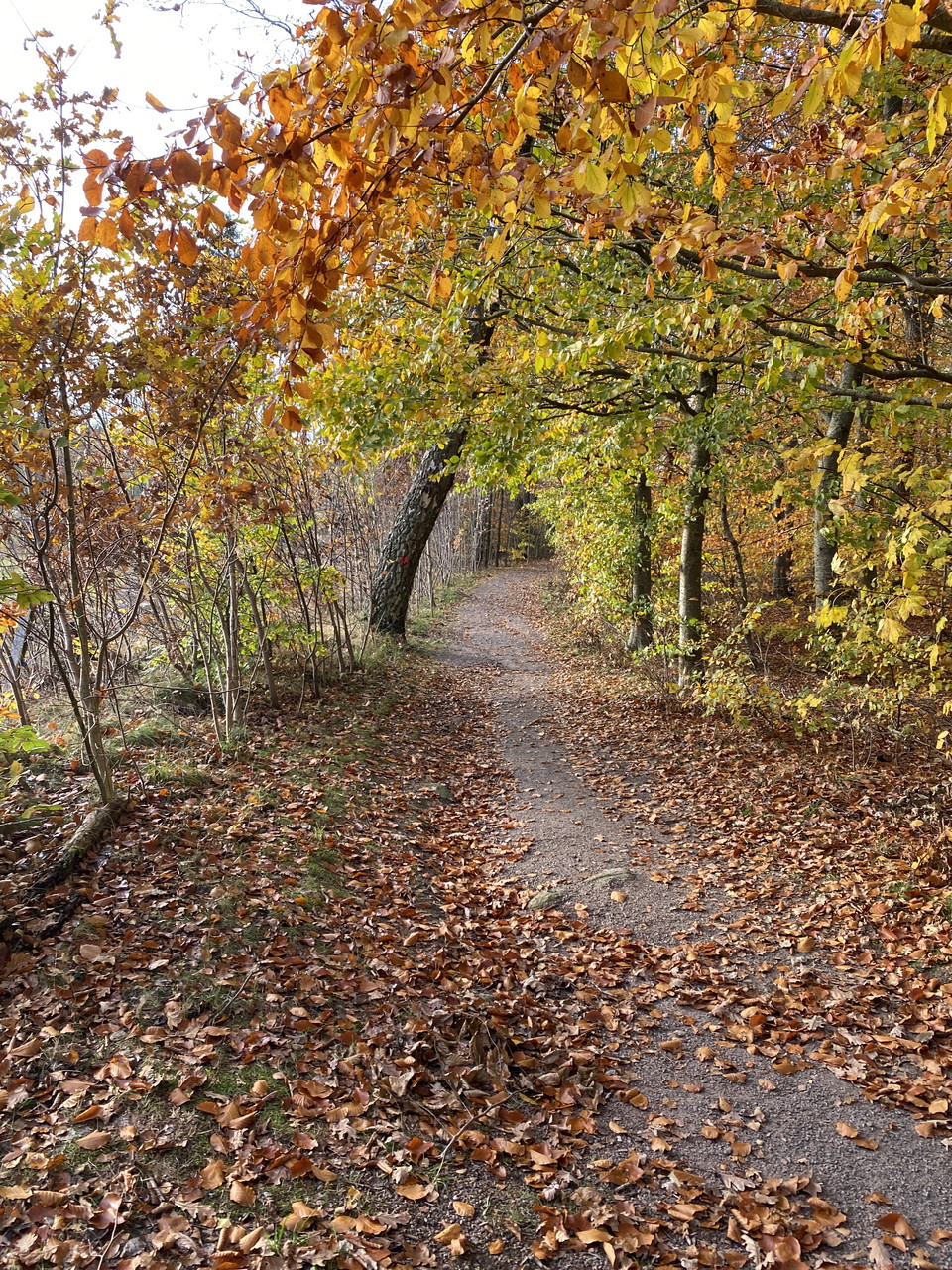
Veingeslingan, Veinge
- Walking
- Running
- Hiking
- Near parking
- Circular trail
- County: Hallands län
- 6735.54 km away from you
Trail details
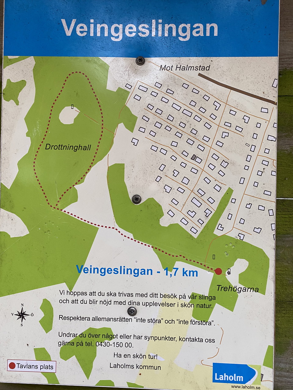
- Length 1.7 km
Actions
Description
Activities And Facilities
- Walking
- Running
- Hiking
- Circular trail
Accessibility
- Near parking
Facts
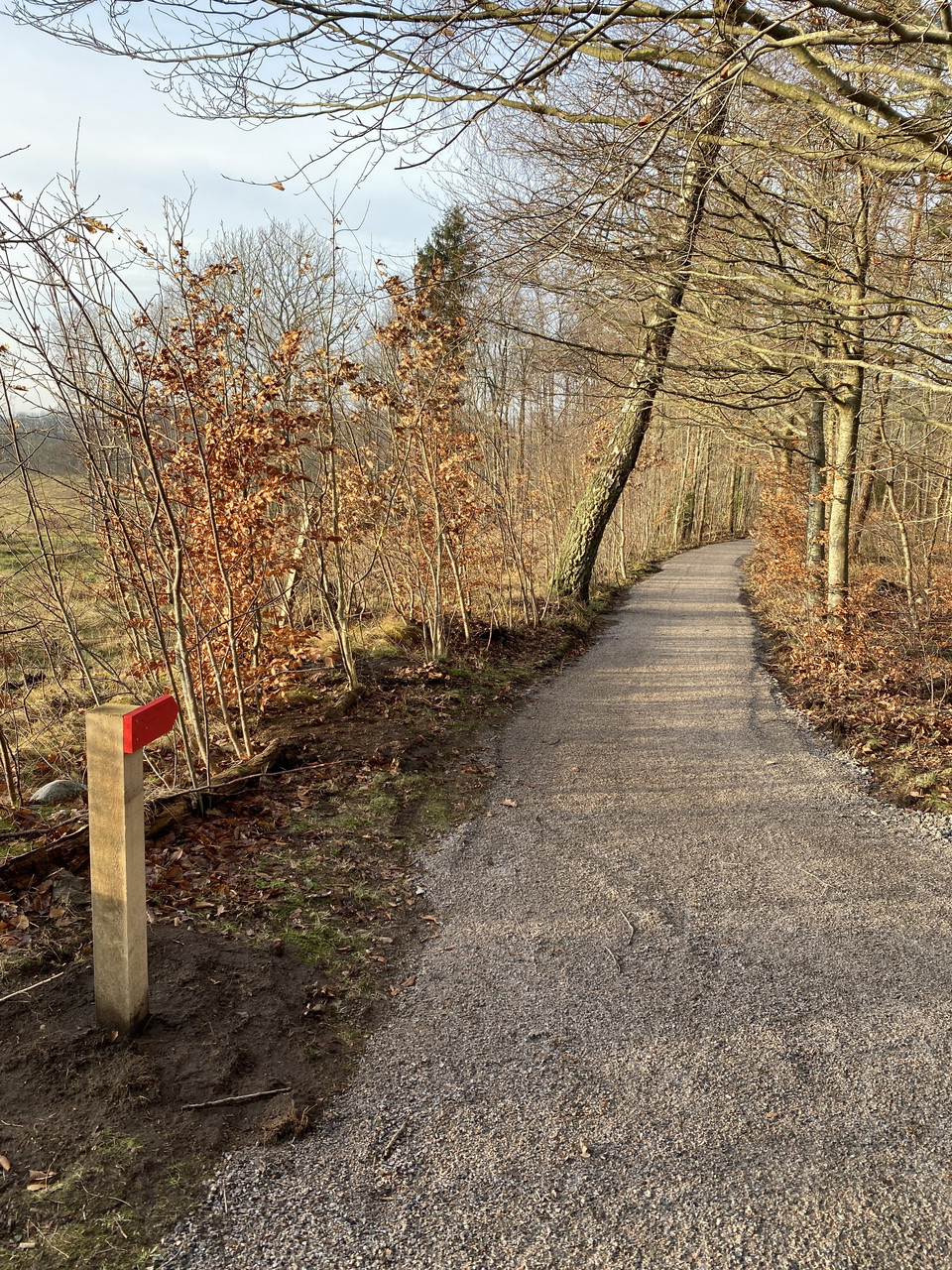
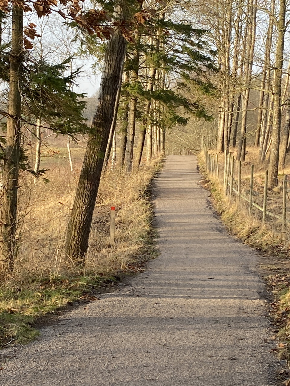
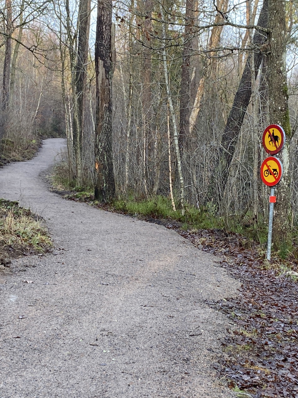
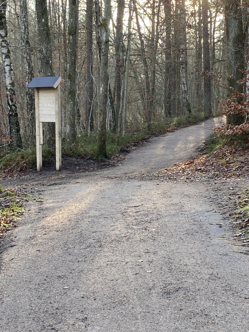
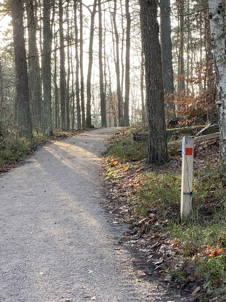
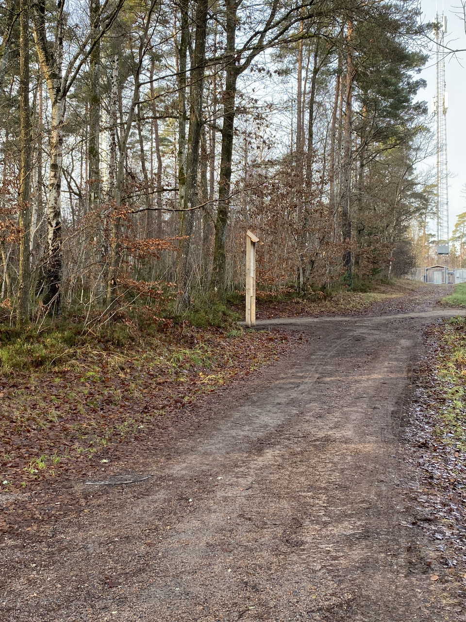
Easy, hilly, forest road and forest path in mixed forest.
Surface
Easy, hilly, forest road and forest path in mixed forest.
Vegetation
Mixed forest
Directions
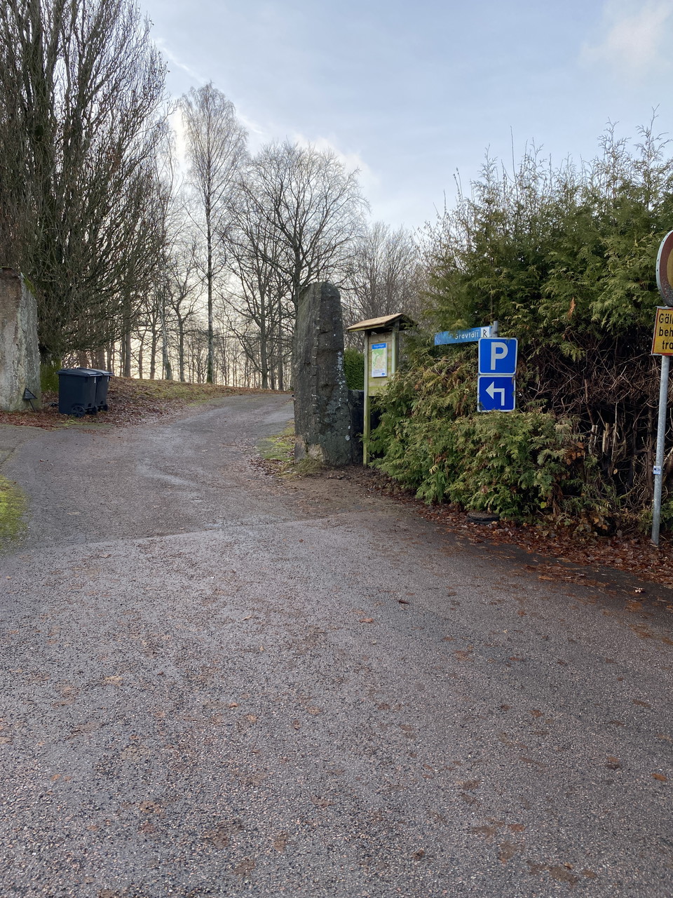
From Laholm, drive to Veinge station community and towards Genevad. Just after the railroad bridge, turn left onto Högabergsgatan, then immediately left on Ängsgatan to Nebogatan. Turn right up to the parking lot.
Contact
Address
0430-15000
Email address
Kontaktcenter
Organization logotype

Please be aware that some of these texts have been automatically translated.
I’ve been here
I want to go here 2

Questions & Answers
Ask a question to other Naturkartan users.
Reviews
0 reviews
- 5 :
- 4 :
- 3 :
- 2 :
- 1 :
Users images
No user images yet. Be the first to share!
