
-

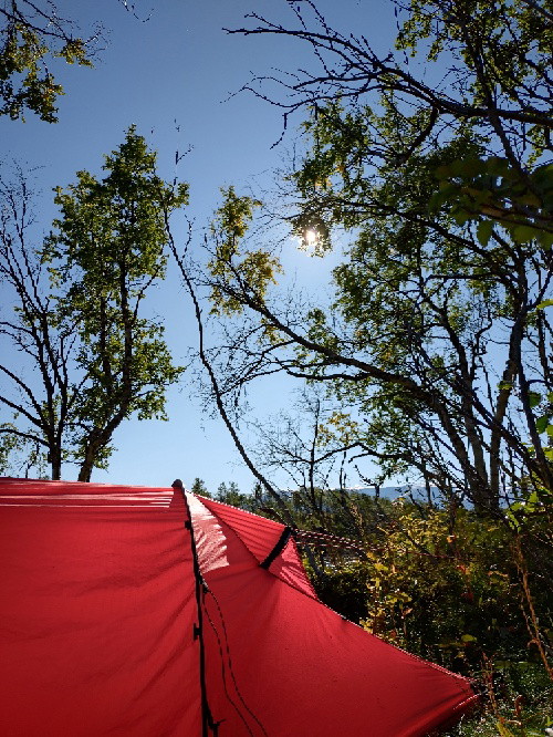
Photo: David Johansson, Halmstads Kommun
Frodeparken - Oskarström, Hallandsleden
- Hiking
- County: Hallands län
- 6706.59 km away from you
Trail details
- Length 23.0 km
Actions
Description
The trail follows forest roads and paths through production forests down to the Nissan valley. Be careful when crossing the "Nissastigen", i.e. road 26. The trail crosses the Nissan at the edge of the old industrial community of Oskarström.
Oskarström is a charming community in Halmstad municipality with a rich industrial history and beautiful nature. The town grew up in the 19th century around sawmills and the paper industry, thanks to its location on the Nissan. Today it is a quiet place with proximity to both forest and water.
For those hiking along the Hallandsleden trail, Oskarström is a perfect place for a break. There are cozy cafés, eateries and opportunities to stock up on provisions.
Activities And Facilities
- Hiking
Contact
Email address
Halmstad direkt
Organization logotype

Please be aware that some of these texts have been automatically translated.
I’ve been here 5



I want to go here 7

Questions & Answers
Ask a question to other Naturkartan users.
Reviews
0 reviews
- 5 :
- 4 :
- 3 :
- 2 :
- 1 :
Users images
No user images yet. Be the first to share!
