
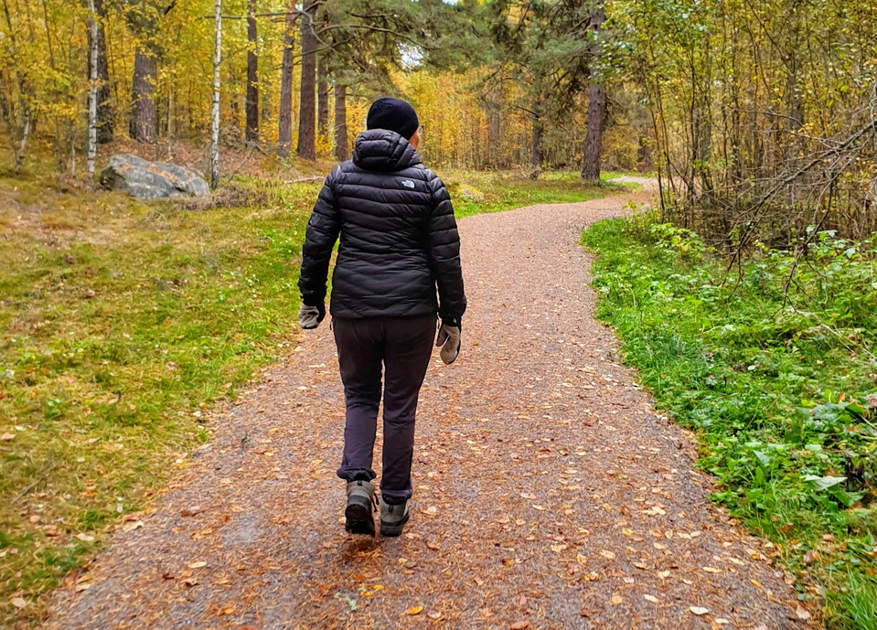
Markerade leder i Myrans natur- och strövområde
- Walking
- Running
- Hiking
- Stroller accessible
- Near parking
- County: Dalarnas län
- 6649.88 km away from you
Trail details
- Length 2.8 km
Actions
Description
Activities And Facilities
- Walking
- Running
- Hiking
Accessibility
- Stroller accessible
- Near parking
Facts
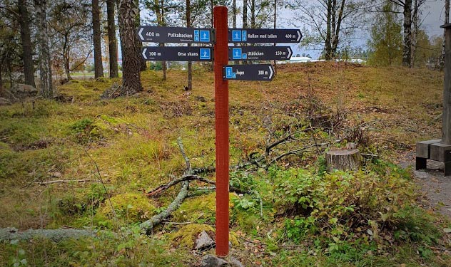
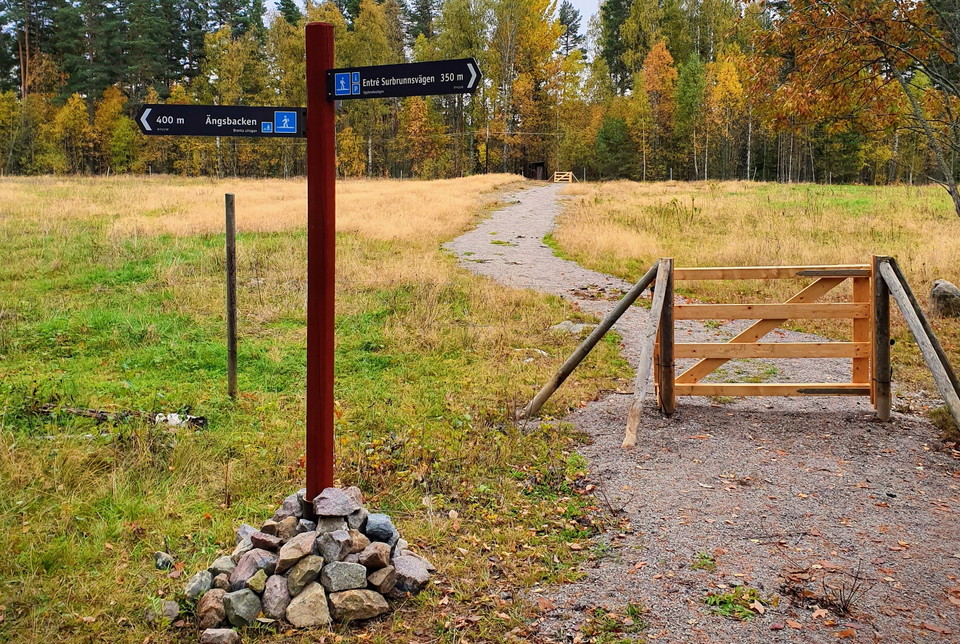
The trail markings consist of red posts with gray and blue signs.
It is possible to get around with a wheelchair on Upplevelsestigen from the entrance to Floras kulle to the ponds. The gravel road between Floras kulle and the Surbrunnsvägen entrance, as well as the road towards the Björken entrance, are also suitable for wheelchairs. However, assistance is needed to get up the slopes to both Kullen med tallen and Utblicken.
Falu municipality is responsible for the trails in the Myran area.
Parking
Parking for both bicycles and cars is available at the two entrances Floras kulle and Surbrunnsvägen.
Communications
The nearest bus stop is Högskolan, which is about 400 meters from the entrance Surbrunnsvägen.
Directions
Myran's nature area is located in the eastern part of Falun, next to the E16 and the Dalarna University campus.
Contact
Email address
Kontaktcenter Falu kommun
Organization logotype

Please be aware that some of these texts have been automatically translated.
I’ve been here 18






I want to go here 16



Reviews
—
0 reviews
- 5 :
- 4 :
- 3 :
- 2 :
- 1 :
Questions & Answers
Ask a question to other Naturkartan users.
Users images
Share your photos of the place!
