
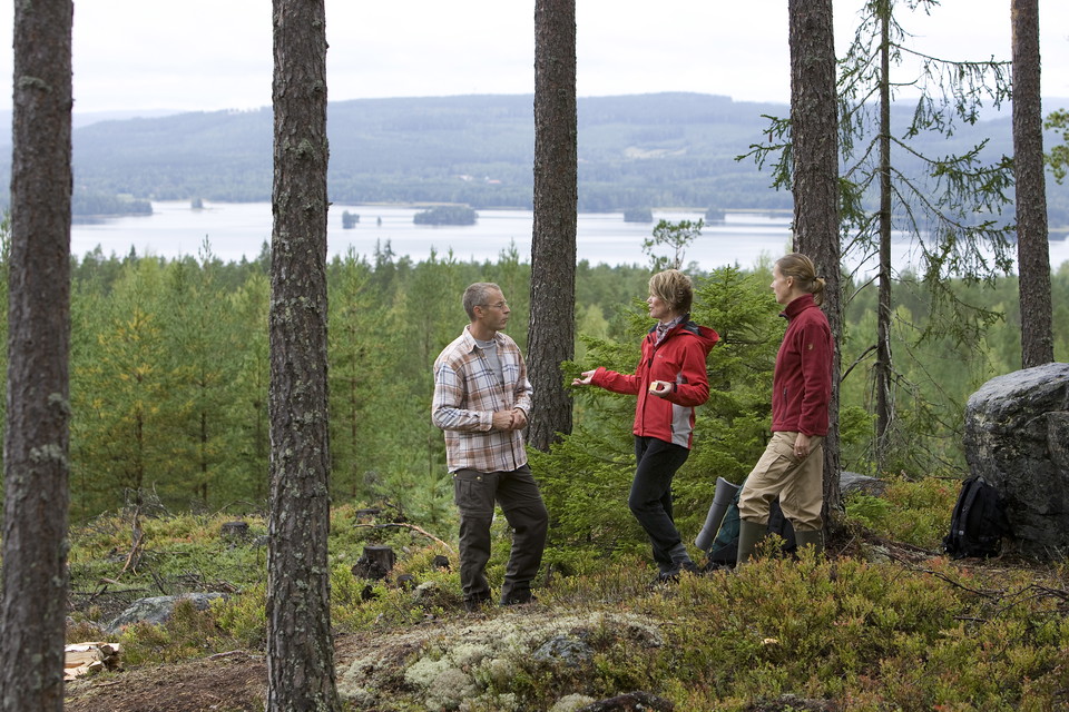
Jungfrubergsstigen
- Hiking
- Running
- Near parking
- Near Public Transport
- County: Dalarnas län
- 6647.29 km away from you
Trail details
- Length 5.0 km
- Difficulty Blue — medium
Actions
Currently
Due to the storm Johannes, there are many trees lying over the trails and it is difficult to get around in parts of the area. We are working to fix this, but it may take some time until all trails are fixed. Watch out for fallen trees, leaning trunks, hanging branches and other signs of instability in the forest.
Description

Activities And Facilities
- Running
- Hiking
Accessibility
- Near parking
- Near Public Transport
Facts
Jungfrubergsstigen is marked with orange color on the trees and gray and blue signposts.
Parking
There is a large and free parking lot right next to the trailhead at the pond on Lugnet.
Communications
Bus to Lugnet is available from both Falu C and Borlänge C. The nearest stop is called "Lugnet Sporthallen" and is about 400 meters from the start of the trail.
Directions
To get here, take the Lugnetrondellen exit and then the first left. After a few hundred meters, turn onto Sjulsarvsvägen and you will soon come to a large gravel parking lot.
Downloads
Contact
Email address
Kontaktcenter Falu kommun
Organization logotype

Please be aware that some of these texts have been automatically translated.
I’ve been here 42











I want to go here 34







Reviews
—
2 reviews
- 5 :
- 4 :
- 3 :
- 2 :
- 1 :
Questions & Answers
Ask a question to other Naturkartan users.
Users images
Share your photos of the place!

En del stormfällda träd i höjd med teletornet. Annars en fin och ganska lätt vandring.