
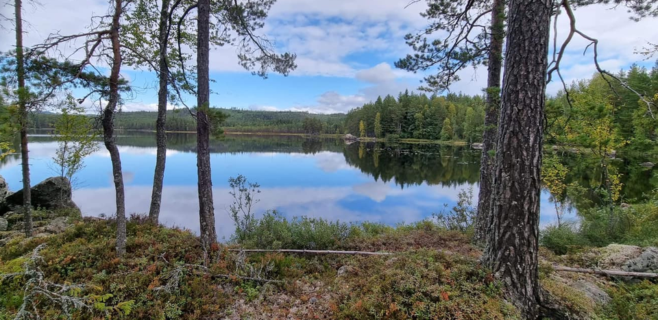
Björktjärnsrundan
- Hiking
- Trail running
- County: Dalarnas län
- 6641.19 km away from you
Trail details
- Length 7.3 km
Actions
Currently
Due to Storm Johannes, there are trees overhanging the trail, which may make it difficult to access parts of the area. Work is underway to fix this, but it may take some time before the trail is fully accessible. Watch out for fallen trees, leaning trunks, hanging branches and other signs of instability in the forest.
Description
Activities And Facilities
- Hiking
- Trail running
Facts
The trail is marked with orange trail markings and is managed by Envikens hembygdsförening.
Downloads
Contact
Email address
Kontaktcenter Falu kommun
Organization logotype
Please be aware that some of these texts have been automatically translated.
I’ve been here 4

I want to go here 12
Reviews
—
1 review
- 5 :
- 4 :
- 3 :
- 2 :
- 1 :
Questions & Answers
Ask a question to other Naturkartan users.
Users images
Share your photos of the place!

Beskrivning över sträckan stämmer bra. En trevlig runda med varierande terräng. Några få partier var lite blöta men det var inga problem att gå rundan med gymnastikskor.