
Ridväg till Hälsingland (Gråsala-Enviksbyn)
- Hiking
- Riding
- Trail running
- County: Dalarnas län
- 6646.78 km away from you
Trail details
- Length 8.0 km
Actions
Description
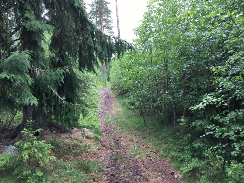
The trail runs from Gråsala to Enviksbyn and then continues on Pilgrimsvägen. The trail is an old riding route to Hälsingland, marked on the 1667 parish map. Parts of the trail consist of old hollow ways. A hollow way is an ancient monument and consists of a clear furrow in the ground where an ancient road passed through. The furrow has been formed by wear and tear from hooves, hooves and feet, and by running water (for example, rain).
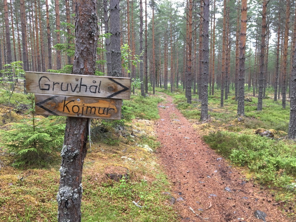
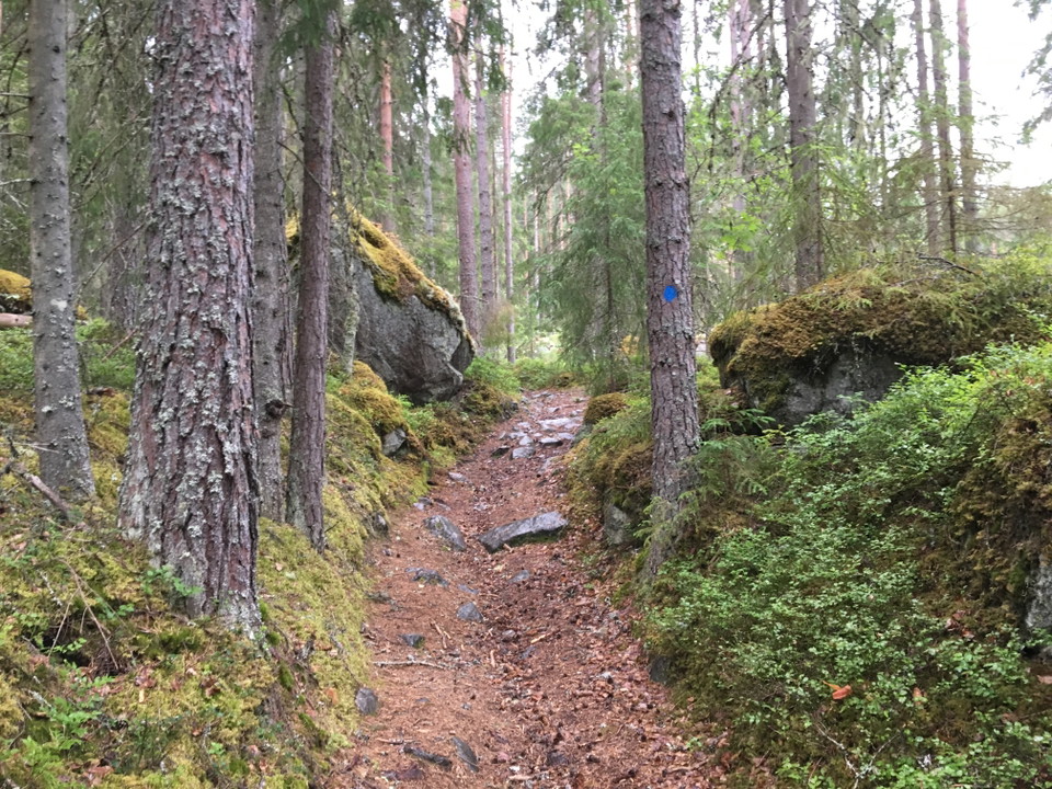
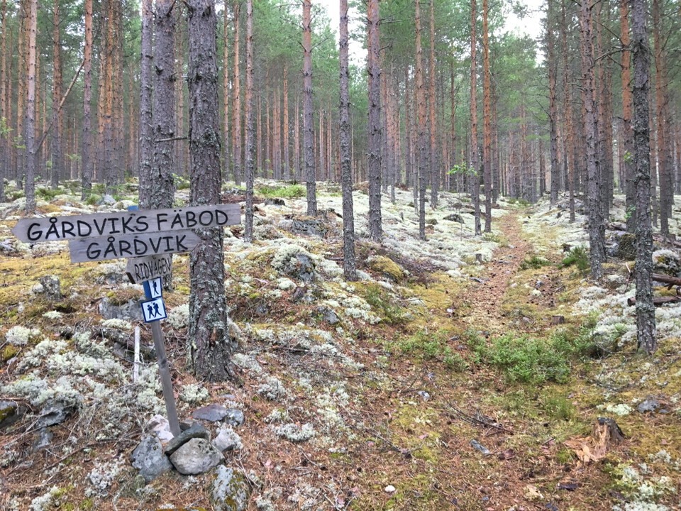
The trail is a little unclear and poorly marked in places. But with a map and good attention, it is easy to find your way. Follow the blue markings on the trees.
Activities And Facilities
- Hiking
- Riding
- Trail running
Parking
There are good parking facilities at the bus stop in Toftbyn. From there, it is just over a kilometer to walk to the starting point of the trail.
Communications
A good way to get to and from the walk is by bus. Take bus 236 to Toftbyn and get off at the Gråsala stop. From the bus stop it is about 1 km to the starting point of the trail. If you want to start from the north, continue to Enviksbyn and get off at the Gamla kyrkan stop.
Downloads
Contact
Email address
Kontaktcenter Falu kommun
Organization logotype

Please be aware that some of these texts have been automatically translated.
I’ve been here 2


I want to go here 14




Questions & Answers
Ask a question to other Naturkartan users.
Reviews
0 reviews
- 5 :
- 4 :
- 3 :
- 2 :
- 1 :
Users images
No user images yet. Be the first to share!
