
Norrbottens län

Rest area

Map

105 Rest area

Firesite

Rastplats Kuttainen T4

  • Municipality: Kiruna
  • 6523.22 km away from you

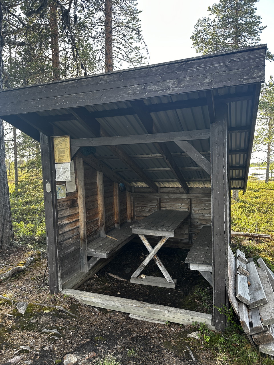
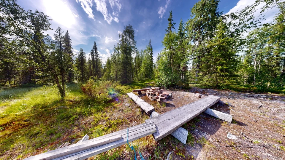
Welcome to the Kuttainen rest area, equipped with a barbecue hut. Bring your own firewood, burn responsibly and clean up after yourself, so that the next visitor will also have a pleasant experience.

Cabin

Abborrträsk - Rallarstigen

  • Municipality: Gällivare
  • 6503.66 km away from you

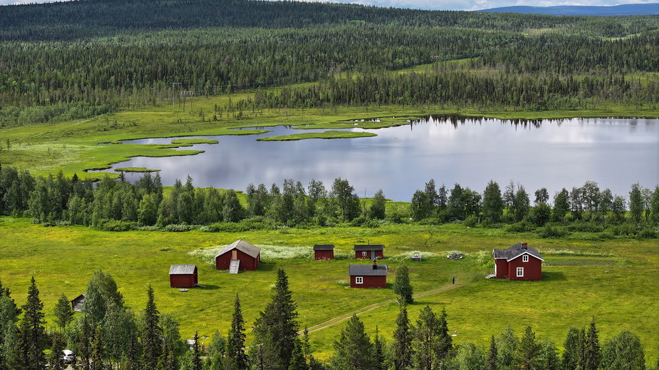
Here you can sit by the fireplace and look out over the beautiful buildings, the surrounding meadows, the adjacent potato field and the Perch Lake. There are benches, a fireplace and even a cold spring down by the lake where you can refill your water bottle…

Rest area

Rastplats Stubba Naturreservat - Rallarstigen

  • Municipality: Gällivare
  • 6500.00 km away from you

When you have passed Abborrträsk and walked for about 2.5km, you reach the E45. You cross the road and then walk another 2.5 km before it is time to cross the road again. Then you enter Stubba Nature Reserve on a loop that is about 4.5 km. When you have wal…

Rest area

Hapsajaure - Rallarstigen

  • Municipality: Gällivare
  • 6493.73 km away from you

34 km from starting point/13 km from starting point E45 It is a wonderful feeling to arrive at Hapsajaure and the rest area located there. The water opens up and there are tables, benches, a fireplace and a shelter. You can also reach this rest area by walk…

Rest area

Stubbavallen - Rallarstigen

  • Municipality: Gällivare
  • 6497.93 km away from you

Stubbavallen's rest area is located on the left side of Rallarstigen and you will see signs and the rest area after just over 4 km of hiking. There is a large fireplace with good opportunities to cook and around the fireplace there are generous benches that…

Shelter

Rastplats mellan Hapsajaure och Porjus

  • Municipality: Gällivare
  • 6492.66 km away from you

37 km from starting point, 16 km from starting point E45 Shelter, large fireplace and table with benches.

Rest area

Rastplats 1km från Stubba

  • Municipality: Gällivare
  • 6497.23 km away from you

Between a large pine tree and a bridge crossing a small stream, you'll find a large table with benches and a small fireplace. Here you can relax for a while and be surrounded by nature.

Viewpoint

Lilla Toppen - Dundret

  • Municipality: Gällivare
  • 6511.03 km away from you

Dundret's first summit cabin was built here in the 1880s. In 1921, the first start of the Dundretbragden race took place here. The site offers a great view of the community. The steep north-facing slope is a popular launch site for paragliders. At the very…

Rest area

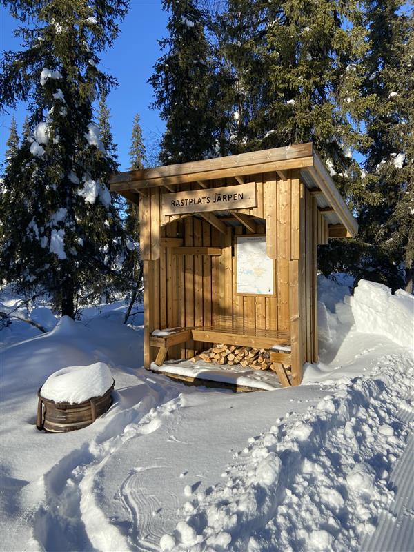
Rastplats Järpen

  • Municipality: Gällivare
  • 6509.00 km away from you

Wind shelter near the municipal roundabout with bench and possibility to make a fire. Views of Dundret and the forest on the southern slope.

Rest area

Rastplats Tippen

  • Municipality: Gällivare
  • 6511.66 km away from you

Rest area adjacent to ski trails and walking and cycling paths. There is a shelter with a bench facing south and the possibility to make a fire.

Hiking

Vindskydd ARKNAT, Högberget Jävre

  • 6656.38 km away from you

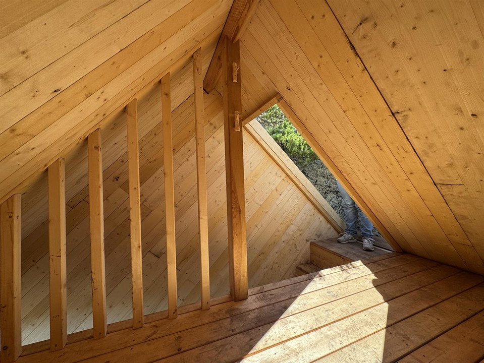
Det unika Arknat-vindskyddet på Högberget i Jävre kallat "Windshelter 45°"eller "Kuben" ligger på bergets topp ovanför eldstaden med en milsvid utsikt.Det byggdes i juli 2026 under arkitekturfestivalen och är utformat som ett klippblock i 45 graders vinkel…

Shelter

Vindskydd ARKNAT, Fluggtjärn Rosfors

  • 6629.63 km away from you

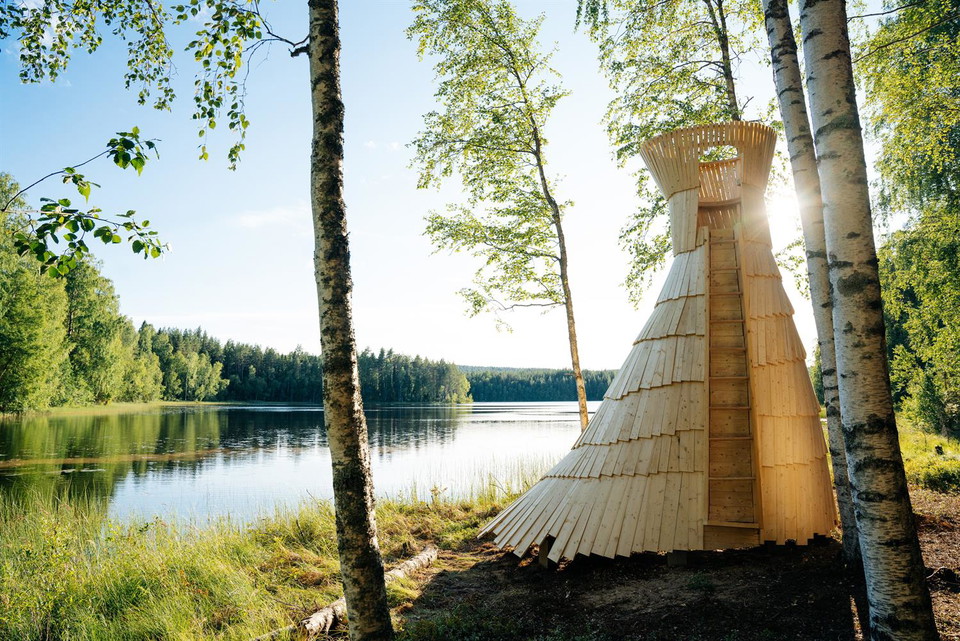
Vindskyddet ligger precis vid Fluggtjärnen och har tillkommit inom ramen för arkitekturfestivalen Arknat 2026.Vindskyddet nås till fots via en skyltad skogsstig.Vindskyddets skulpturala form är inspirerad av nordisk folktro och gestaltar Skogsrået.

Naturkartan

Open this in the app