Alternativ väg till st Uriel
- Municipality: Härjedalen
- 6485.71 km away from you
- 4.3 km
- Difficulty: Red
We recommend a visit to this unique place. The hike is easy and follows an old trail along Lillhärjån.

Jämtlands län
Naturkartan samlar de pilgrimslederna i Jämtlands län som är populärast bland våra användare.
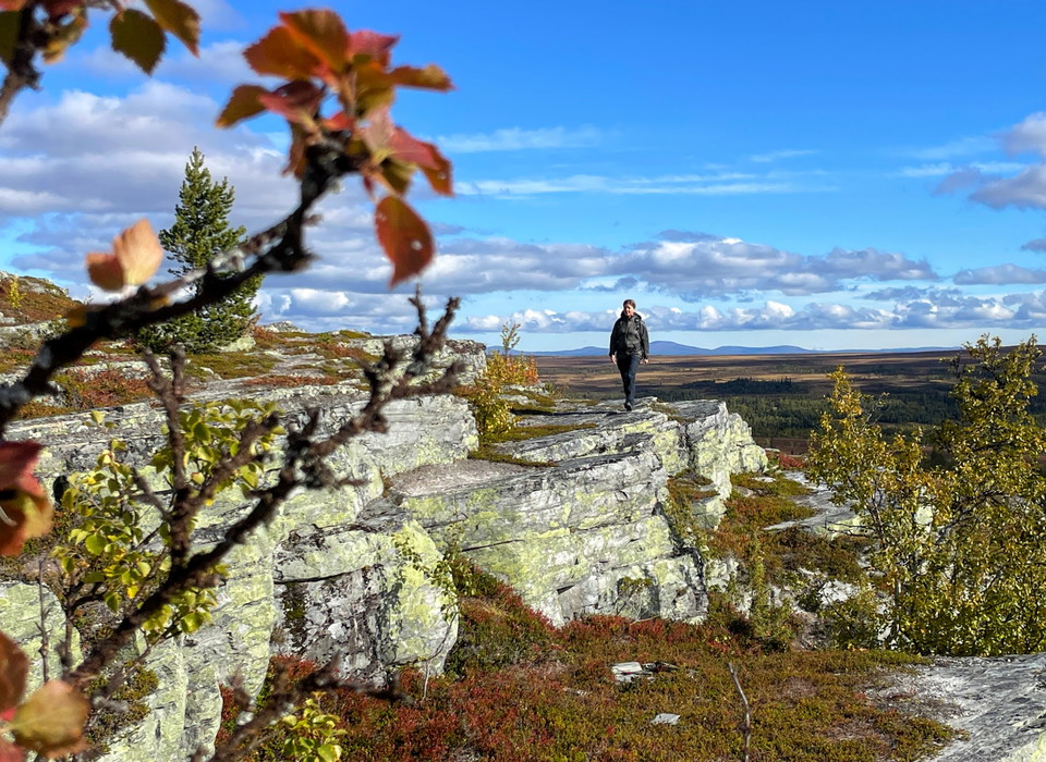
We recommend a visit to this unique place. The hike is easy and follows an old trail along Lillhärjån.
You start your hike from "Ripans" parking in Torkilstöten, about 4 km from Ljungdalens center. Go towards Kläppen and left up towards Torkilsstöten after about two km and then take the first left up to "Ripans" parking. There is an orange-painted trail, tow…
Knätten (Vitvattnet) - Klaxåsen 14 km The terrain here becomes hilly and it can be wet at times. The Inlandsbanan is crossed on three occasions. The trail runs parallel to Hoan, which you cross on two occasions, just before Björnberget and in Klaxåsen. Here…
Klaxåsen - Kilkojan 14 km The trail goes west over mountains with views of Söder- and Nederhögen. The trail continues from Söderhögen in a northwesterly direction towards Kilkojan. At Kilkojan, the Stråsjöleden trail from Korsholmen and Enånger connects to…
Kilkojan - Klövsjö 13 km The Kårböleleden trail from Kilkojan to Klövsjö runs mainly through forest. At Röjan there is a shelter and outhouse. History & nature: Klövsjö has been named Sweden's most beautiful village, which the hiker will see through the bea…
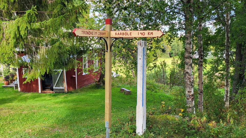
Klövsjö - Sakrisbodarna 11 km (first section outside the Helgon Trail). Here the trail splits from the Helgon Trail, which takes a different route until it joins the Jämt-Norgeleden trail at Storsjö. Kårböleleden goes north through forests and past pasture…
Sakrisbuan - Storhallen 12 km The trail runs mainly on forest roads and through forest and on paths to Ljungan. Ljungan is crossed by a ford with a rafting channel in the middle. Sturdy poles are needed. History & nature: Storhallens village is located on a…
Storhallen – Börjesten 11 km Leden går mycket längs skogsbilväg, men även över fina fäbodvallar och skogsstigar. Vid Grossmyrbodarna väntar ett vindskydd på vandraren. Historia & natur: Börjesten är ett så kallat ödesböle. Under medeltiden övergavs många b…
Börjesten - Gussmon (Mo12 km) - Persåsen 22 km After walking along the forest road and in the forest, the road arrives in the village of Mo. At Högån there is a shelter for resting. The trail follows the highway to Persåsen. History & nature: In the village…
Persåsen - Billsåsen 11 km The trail runs along the road for 6 km almost to Kinderåsen where it turns into paths in the forest towards Billsåsen. Here Kårböleleden joins the Jämt-Norgevägen. History & nature: The village of Billsåsen was a beloved resting p…
Wilderness trail, path missing for the first mile between Korskälla and Knösen, then gravel road. Follow the pilgrimsign to stay on trail. Thanks to the landowners – show consideration when hiking St Olav Rombo Way runs mainly through actively cultivated f…
Gravel roads lead you through forests, marshlands, and past streams. The walk is mostly along roads and is relatively easy. You walk between two historic locations. Helga and Härjulf Hornbrytare are considered the first inhabitants and founders of Härjedale…
Starting from Ramundberget, it is possible to go on a tour among the mountains and roaring mountain streams, in the historical footsteps of the pilgrims. Follow the river Ljusnan valley from Ramundberget, you walk where thousands of pilgrims have walked be…
This is the original route of the Romboleden, but we have chosen to re-route it on dry ground a little further west. We recommend walking the new route as it can be very wet here.
An alternative route toward Rombovallen passing the Waffle Cabin in Lofsdalen. Check the opening hours on the Waffle Cabin’s page here in Naturkartan
Naturkartan samlar de pilgrimslederna i Jämtlands län som är populärast bland våra användare.