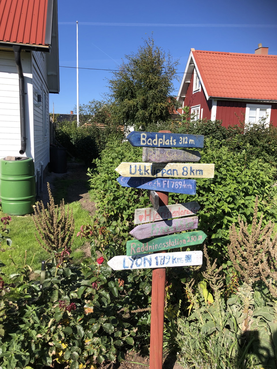
• Skyltar på Stenshamn
    Vandring på Stenshamn/Utlängan
    Photo: Visit Karlskrona
  • Vandringsled på Utlängan
    Vandring på Stenshamn/Utlängan
    Photo: Visit Karlskrona
  • Photo: Robert Ekholm

Cykel- och vandringsrunda - Stenshamn Utlängan

  • Biking
  • Hiking
of 5 stars

Trail details

  • Length 4.1 km

Actions

  • Directions

Description

A circular route that takes you across the fishing island of Stenshamn and the farming island of Utlängan, which today are linked by a causeway across Korran, the water between them. Spot seals, visit the lighthouse and Getabrobryggan, the jetty where boats used to anchor before the Swedish defence forces built the causeway in 1957 in order to be able to moor in Stenshamn and transport equipment across to Utlängan, where surveillance was carried out.

Weather forecast (at 12:00)

Loading…

Get here by public transport

Activities And Facilities

  • Biking
  • Hiking

Downloads

Contact

Address

Blekinge Arkipelag Kurpromenaden 4 372 36 Ronneby

Email address

Team ARK56

I’ve been here 2

I want to go here 14

Reviews

—

0 reviews

of 5 stars

5 :
0.0%
4 :
0.0%
3 :
0.0%
2 :
0.0%
1 :
0.0%

Questions & Answers

Ask a question to other Naturkartan users.

Users images

Share your photos of the place!

Naturkartan

Open this in the app