
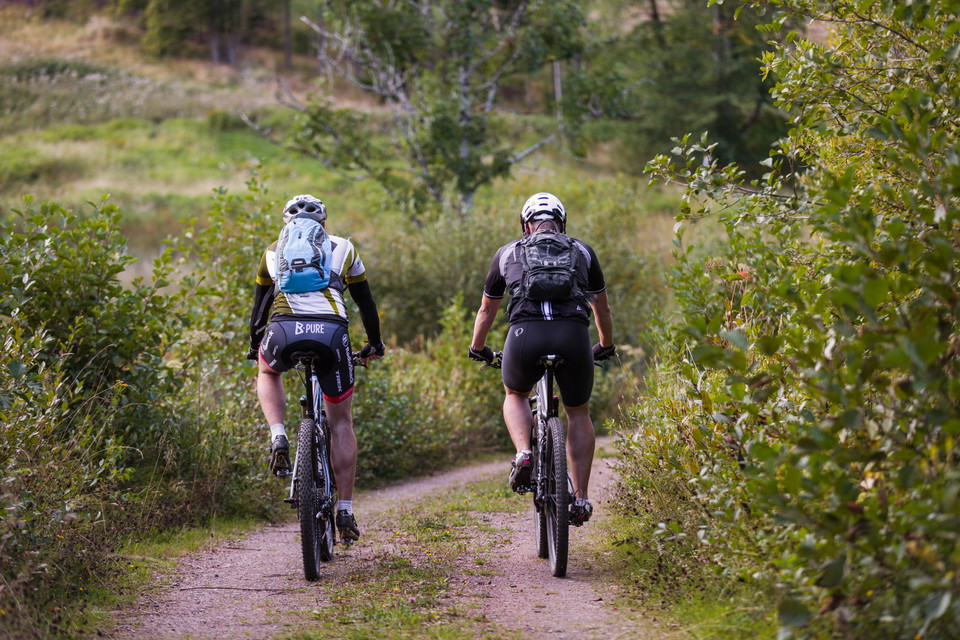
Skagenslingan MTB

  • Mountainbiking
  • Biking
of 5 stars

Trail details

  • Length 9.1 km
  • Difficulty Blue — medium

Actions

  • Directions

Description

This trail is rated as intermediateand runs through the forest with some elevation gain. It mainly follows forest paths and gravel roads and begins nicely with asphalt and then a steady 2 km downhill. On the return, you gradually climb back up to reach the top at the Kinnekulle lookout tower before the final descent home.Download the GPS-file here.

Level:Moderate

Length:9,1 kilometers

Elevation gain:196 meters

Marking:Blue

Start and end:Kinnekullegården

Weather forecast (at 12:00)

Loading…

Get here by public transport

Activities And Facilities

  • Mountainbiking
  • Biking

I’ve been here

I want to go here

Reviews

—

0 reviews

of 5 stars

5 :
0.0%
4 :
0.0%
3 :
0.0%
2 :
0.0%
1 :
0.0%

Questions & Answers

Ask a question to other Naturkartan users.

Users images

Share your photos of the place!

Naturkartan

Open this in the app