

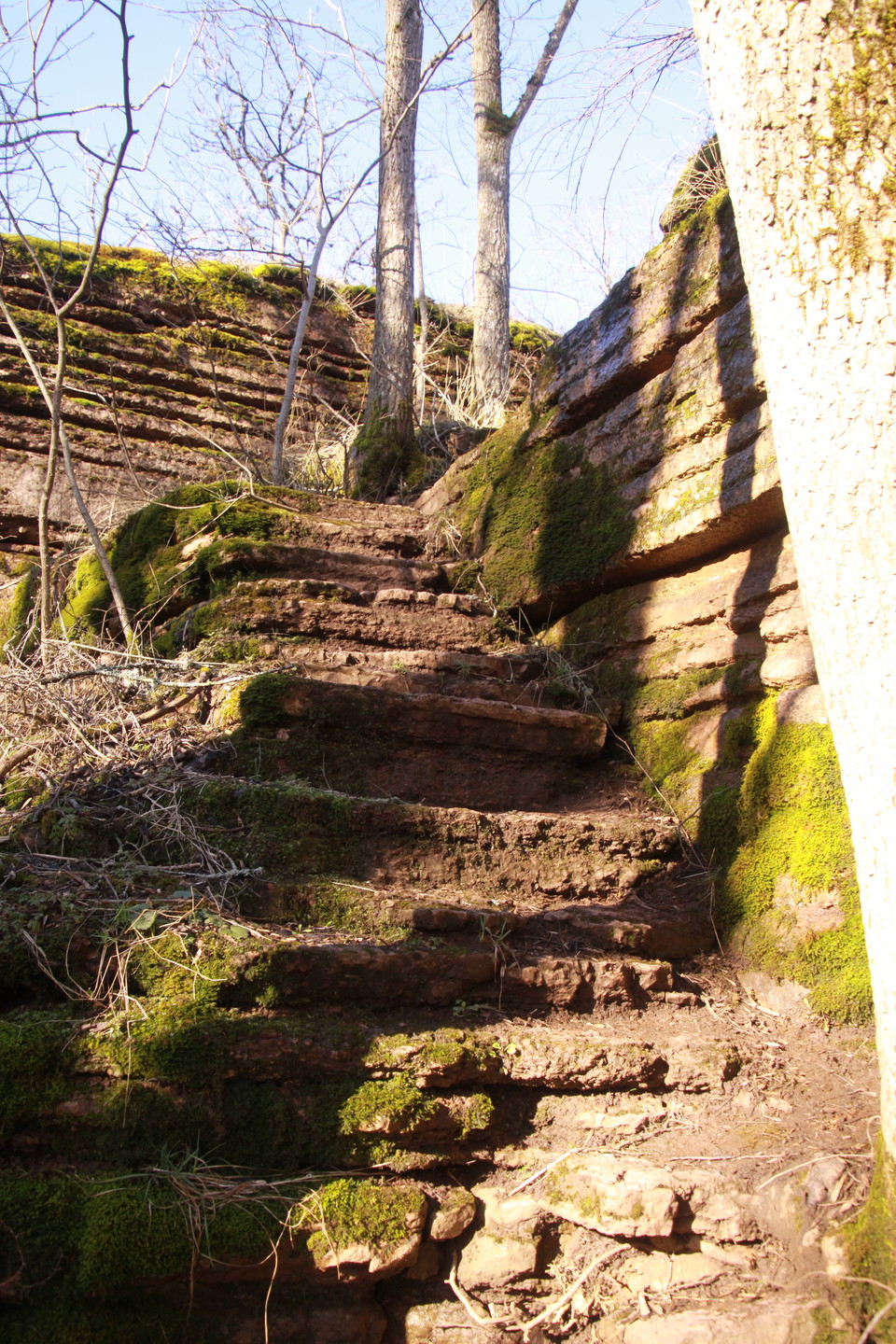
Martorps hiking trial
- Hiking
- County: Västra Götalands län
- 6644.38 km away from you
Trail details
- Length 6.0 km
- Time 2 h
- Difficulty Blue — medium
Actions
Description
Activities And Facilities
- Hiking
Facts
Keep in mind that Martorpsrundan is marked with blue and orange bands labeled "Kinnekulleleden" as the trail does not have its own marking.
Parking
Parking is north of Ekesbacke on the road between Västerplana and Husaby.
Directions
Car: Distance from Lidköping approx. 18 km. Take the 44 towards Mariestad and turn off at Husaby. Continue on the road and then turn left towards Västerplana at the height of Husaby Church. Then continue on this road for about 2 km and follow the sharp left turn, on the left side is a small parking lot where you start your hike to Martorpsfallet. Here at the parking lot the trail is signposted.
Alternatively, parking north of Ekesbacke on the road between Västerplana and Husaby
Contact
Address
För frågor om ledens sträckning, drift och skötsel samt boenden, restauranger och andra besöksmål i området, kontakta Destination Läckö-Kinnekulle.
Email address
Destination Läckö-Kinnekulle
Organization logotype

Please be aware that some of these texts have been automatically translated.
I’ve been here
I want to go here 3

Reviews
—
0 reviews
- 5 :
- 4 :
- 3 :
- 2 :
- 1 :
Questions & Answers
Ask a question to other Naturkartan users.
Users images
Share your photos of the place!
