
Stigslinga, Aspbo
- Hiking
- County: Uppsala län
- 6780.83 km away from you
Trail details
- Length 1.0 km
Actions
Description
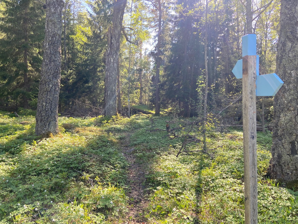
There is a 1.8 km trail through Aspbo nature reserve. The easiest way to get on the trail is at the eastern parking lot, Aspbo 3. Here the trail crosses the upper, northern part of the parking lot.
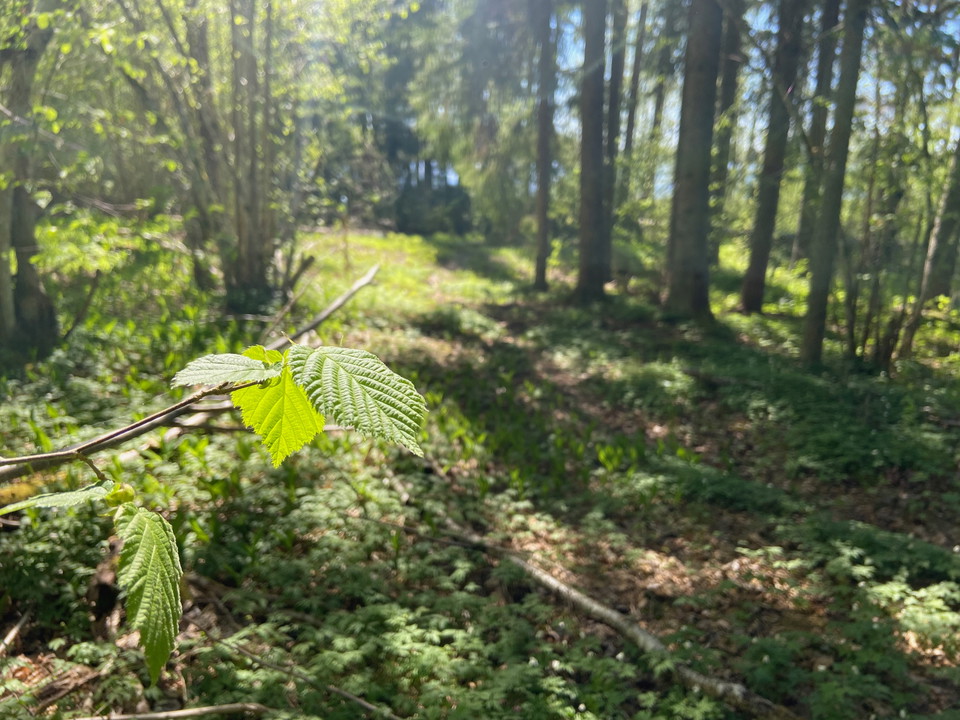
The northern part of the trail is marked in blue and goes through a nice mixed forest with pine, spruce, hazel and birch. When you get down to the water, the blue trail connects to the orange-marked Upplandsleden trail, which you then follow along the water right through the reserve. Look out for the blue markings that show where to turn off into the forest again to get back to the parking lot.
Activities And Facilities
- Hiking
Contact
Email address
Upplandsstiftelsen
Organization logotype

Please be aware that some of these texts have been automatically translated.
I’ve been here
I want to go here
Questions & Answers
Ask a question to other Naturkartan users.
Reviews
0 reviews
- 5 :
- 4 :
- 3 :
- 2 :
- 1 :
Users images
No user images yet. Be the first to share!
