
-
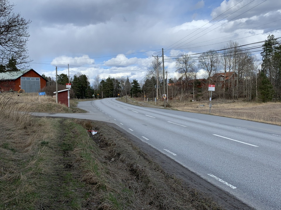
Örsta busshållplats vid naturreservatet Angarnssjöängen.
Photo: Länsstyrelsen Stockholm -
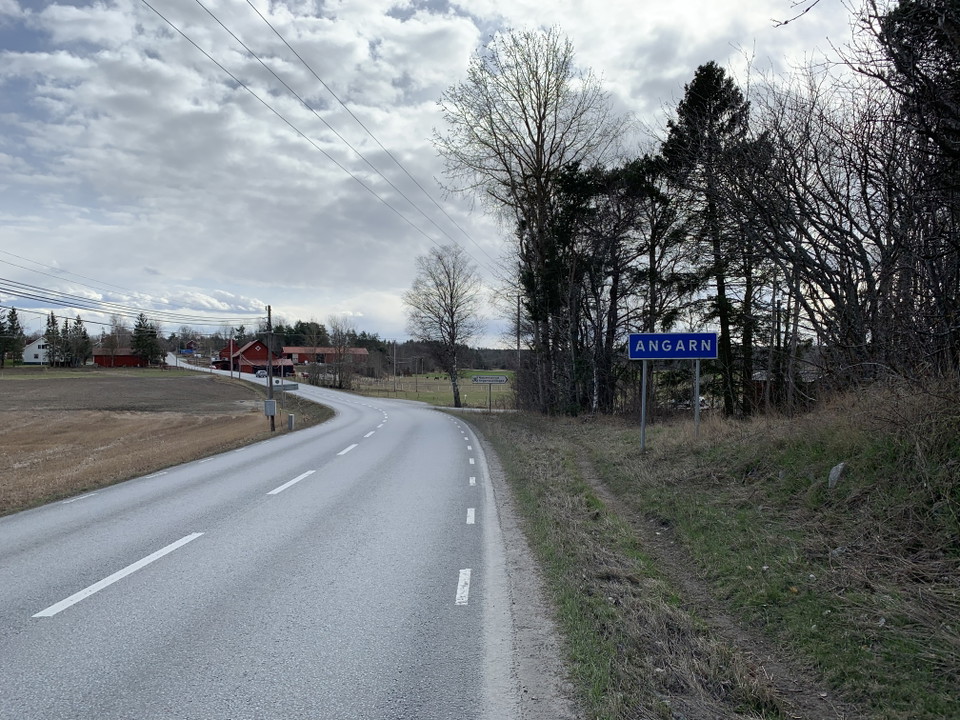
Mindre än 200 meters promenad till reservatets entré.
Photo: Länsstyrelsen Stockholm
Angarnssjöängen – Örsta bus stop
- Public Transport
- County: Stockholms län
- 6829.95 km away from you
Actions
Description
The Örsta bus stop is located about 200 m from the reserve entrance at Örsta. Busses from here take you to Vallentuna Station or alternatively Brottby trafikplats, for further connections to Stockholm Tekniska högskola or Norrtälje.
Activities And Facilities
- Public Transport
Facts
Skyddat sedan: 1982
Storlek: 565 hektar varav vatten 1,8 hektar
Karaktär: våtmark, sjö, odlingslandskap
Kommun: Vallentuna
Markägare: Stockholm stad, Vallentuna kommun, staten och privata
Förvaltare: Länsstyrelsen
Skyddsform: naturreservat
Övrigt: Natura 2000 område Angarn SE110034
Directions
By public transit: From Norrtälje or Stockholm Tekniska Högskolan, take a bus to Vallentuna Station or Brottby trafikplats. For current bus lines and timetables, see: SL.se
Regulations
In order to protect the Angarnssjöängen nature reserve, please respect the following rules. Within the reserve, it is forbidden to:
- destroy or damage rock, soil or stone by drilling, cutting, blasting, carving, digging, painting or similar,
- break branches, fell or in any other way damage living or dead trees and bushes, or damage the vegetation in general by digging up plants, such as shrubs, herbaceous plants, mosses, lichens or remove fungi growing on wood,
- disturb wildlife (e.g. by climbing nesting trees, trapping or killing mammals, birds, reptiles or amphibians),
- trap and collect invertebrates,
- bring dogs that are not on a leash,
- make a fire outside of designated sites,
- put up a message board, placard, poster, sign or make inscriptions,
- bicycle off-road,
- operate a motorboat within the seagrass meadows,
- camp outside of designated sites. Camping within these sites is only allowed for a maximum of two consecutive nights,
- during the period of April 1 - September 30, traverse the bird protection area on the reserve map (“Fågelskyddsområde” in Swedish), Appendix 1 in the reserve proclamation,
- ride horses on the trails marked as forbidden on the map in the reserve proclamation ("Stig med ridförbud" in Swedish), Appendix 1 in the proclamation.
The complete reserve rules and proclamation can be found [on the County Administrative Board's website (in Swedish)] (https://www.lansstyrelsen.se/stockholm/besoksmal/naturreservat/angarnssjoangen.html).
Contact
Email address
Länsstyrelsen i Stockholm
Organization logotype
I’ve been here
I want to go here
Questions & Answers
Ask a question to other Naturkartan users.
Reviews
0 reviews
- 5 :
- 4 :
- 3 :
- 2 :
- 1 :
Users images
No user images yet. Be the first to share!
