Trail the shortcut, Bälingeberget
- Municipality: Luleå
- 6643.69 km away from you
- 0.3 km
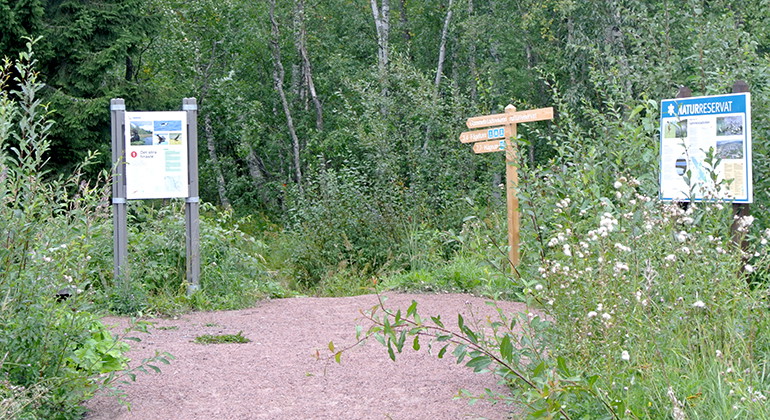
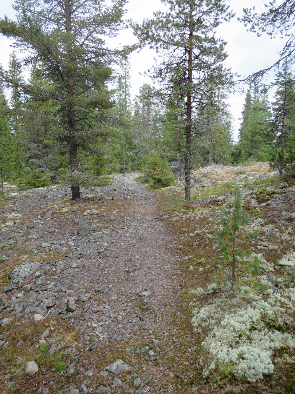
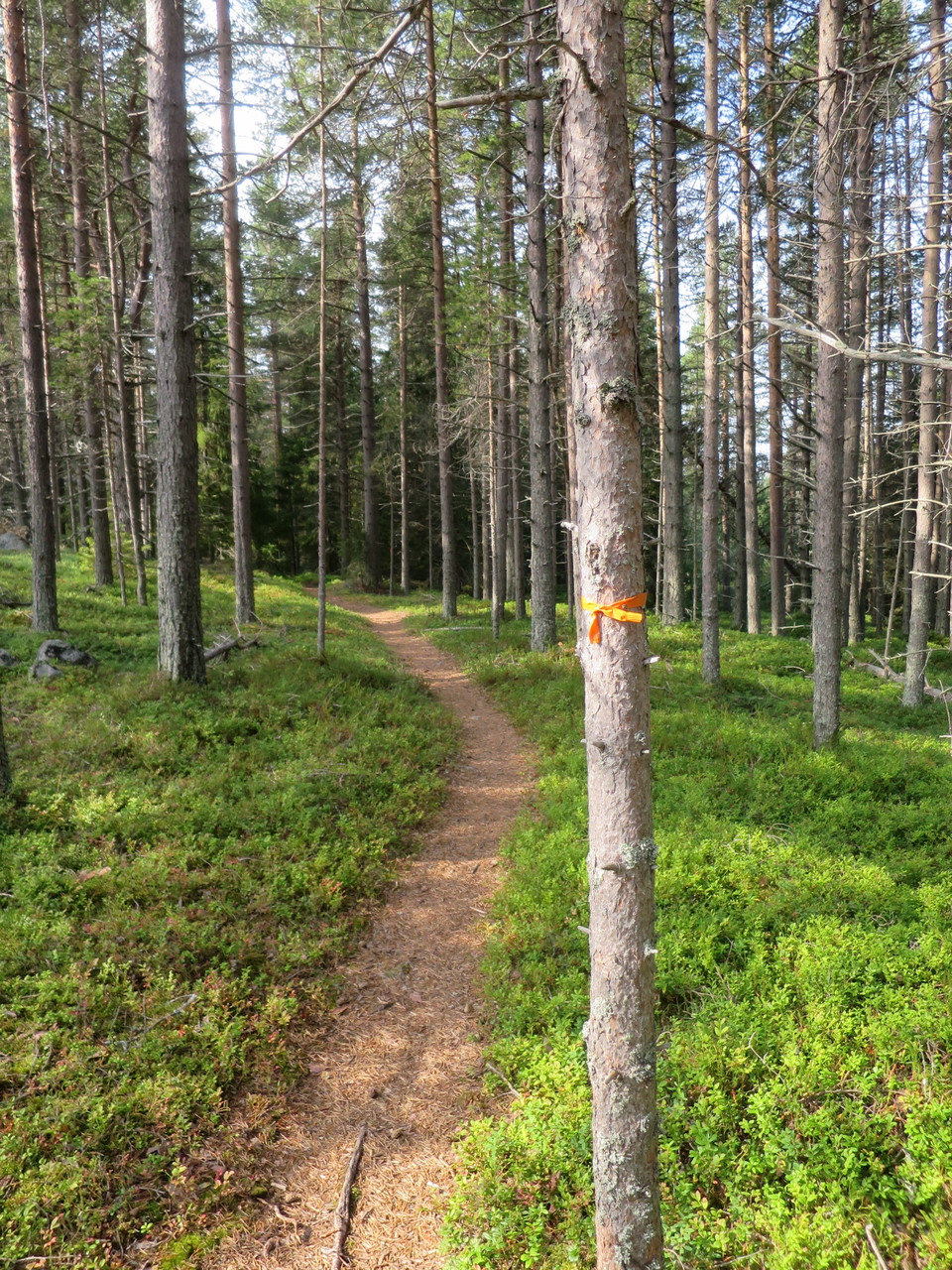
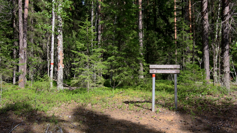
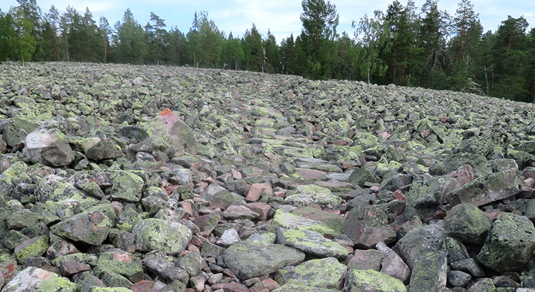
A 300 metres long trail over the rubble field, marked with red paint on rocks. If you don´t want to cross the field, it is also possible to walk east of/below it.

Luleå
Naturkartan samlar de vandringslederna i Luleå som är populärast bland våra användare.
A 300 metres long trail over the rubble field, marked with red paint on rocks. If you don´t want to cross the field, it is also possible to walk east of/below it.
A 4,5 kilometres long trail between the open air museum Hägnan and the observation tower and picnic spot. There are plankways over the moist areas along the trail. Parts of the trail are made for snowmobiles during winter. The trail is marked with orange pa…
A wheelchair accessible, gravel 1.3 kilometres long trail between the parking lot near the road Haparandavägen and the observation tower. The trail is 1.6 metres wide, with nine wider meeting places.
A trail between the street Vänortsvägen, Porsön, and the observation tower and picnic area. The trail is 2 kilometres long. The start of the trail lies nere a local bus stop "Vänortsvägen". There is an information sign near the start.
This trail goes in a loop in the western part of the nature reserve. It starts and ends at the parking lot. There are connections to the eastern trail and the trail to the cave. You pass by the fireplaces at the top of the mountain.
The trail starts near Notviken train station in Luleå. It is 3 kilometres long and there are plankways over wet areas.
A short cut between parts of the loop-trail.
A 140 meter long path that is a shortcut between two parts of the larger trail loop.
A 700 metres long trail to the small village, "fiskeläget".
A marked loop-trail around the island.
A 650 meter long hiking trail between Kråkskärviken - Storviken and on to the large trail loop on the southern part of the island.
A 2 kilometres long trail to the top of the mountain. The trail starts next to a road and is marked with red paint on the trees. There is no cleared path, so you have to hike over fallen trees and rocks etc.
Naturkartan samlar de vandringslederna i Luleå som är populärast bland våra användare.