New!

Now you can share photos on Naturkartan! 📸

Read more

Best hiking trails in Hedemora

Hedemora

Naturkartan samlar de vandringslederna i Hedemora som är populärast bland våra användare.

Images

Map

16 Best hiking trails in Hedemora

Hiking

Bensåsleden - Garpenberg

  • Municipality: Hedemora
  • 6691.62 km away from you
  • 19.0 km
  • Difficulty: Green

Bensåsleden is about 19 km and runs in a circular loop from Garpenberg to the village of Bensåsen and the adjacent Bensås mine. At the mine there is Grandfather's place, which is about 80 meters long mining place you can go into. On the way back, the trail…
Hiking

Vandringsled runt Stadssjön

  • Municipality: Hedemora
  • 6683.84 km away from you
  • 3.4 km

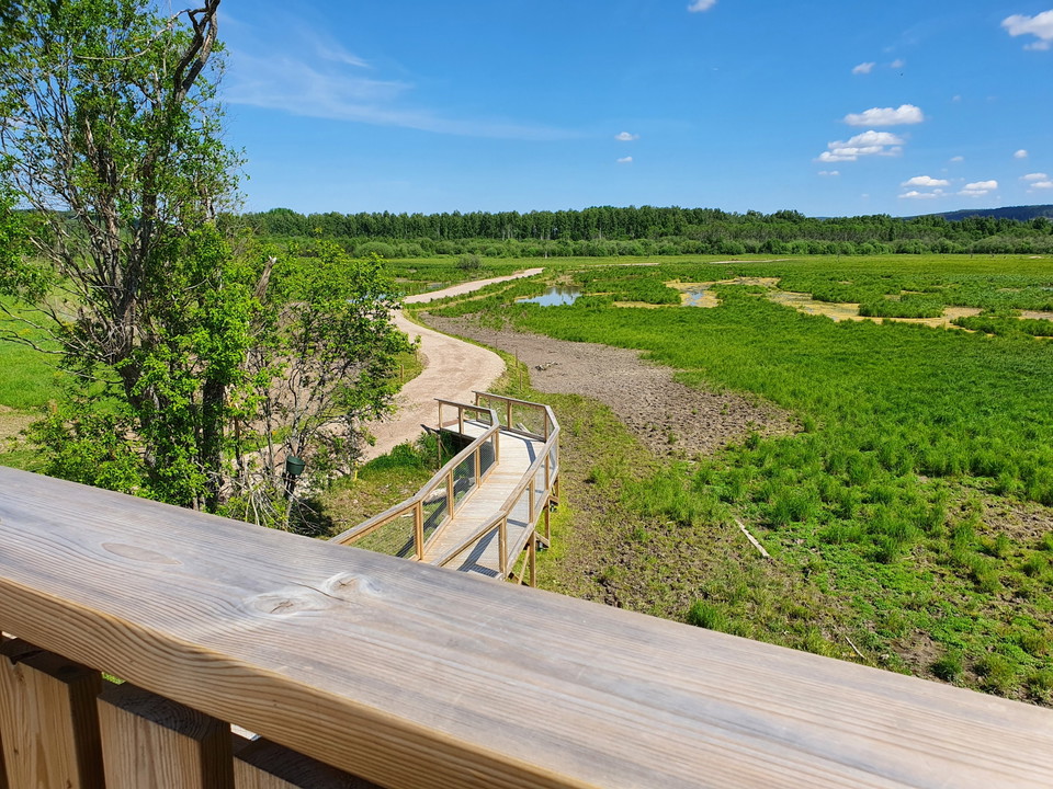
The municipal nature reserve Stadssjön is a green oasis in the urban parts of the Hovran area. Hedemora municipality is now investing heavily in making the reserve accessible. Along the hiking trail you can walk or roll straight through wetlands, experience…

Hiking

Långa Skogssjörundan

  • Municipality: Hedemora
  • 6684.06 km away from you
  • 7.0 km

Långa Skogssjörundan är en sju kilometer lång vandringsled i Stjärnsund. Leden letar sig genom den lilla orten Stjärnsund, förbi kyrkan och vidare längs sjön Grycken. Lite senare vandrar du längs den gamla järnvägen.

Hiking

Dammsjöleden

  • Municipality: Hedemora
  • 6691.62 km away from you
  • 5.0 km
  • Difficulty: Green

The Dammsjöleden trail is just under 5 km long around Finnhytte Dammsjön, passing both disused mines such as the limestone quarry and Garpenberg's modern mining area. Along the way there are several rest areas with shelters and barbecue areas. The surface i…

Hiking

Skärsjöstigen

  • Municipality: Hedemora
  • 6685.49 km away from you
  • 6.0 km

Skärsjöstigen is about 6 km long and runs from Olshyttan to Skärsjön and the natural monument Skärsjöstenen. Along the way there are many information boards that tell about buildings passed and forestry past and present.

Hiking

Drottning Kristinas väg

  • Municipality: Hedemora
  • 6685.79 km away from you
  • 10.0 km

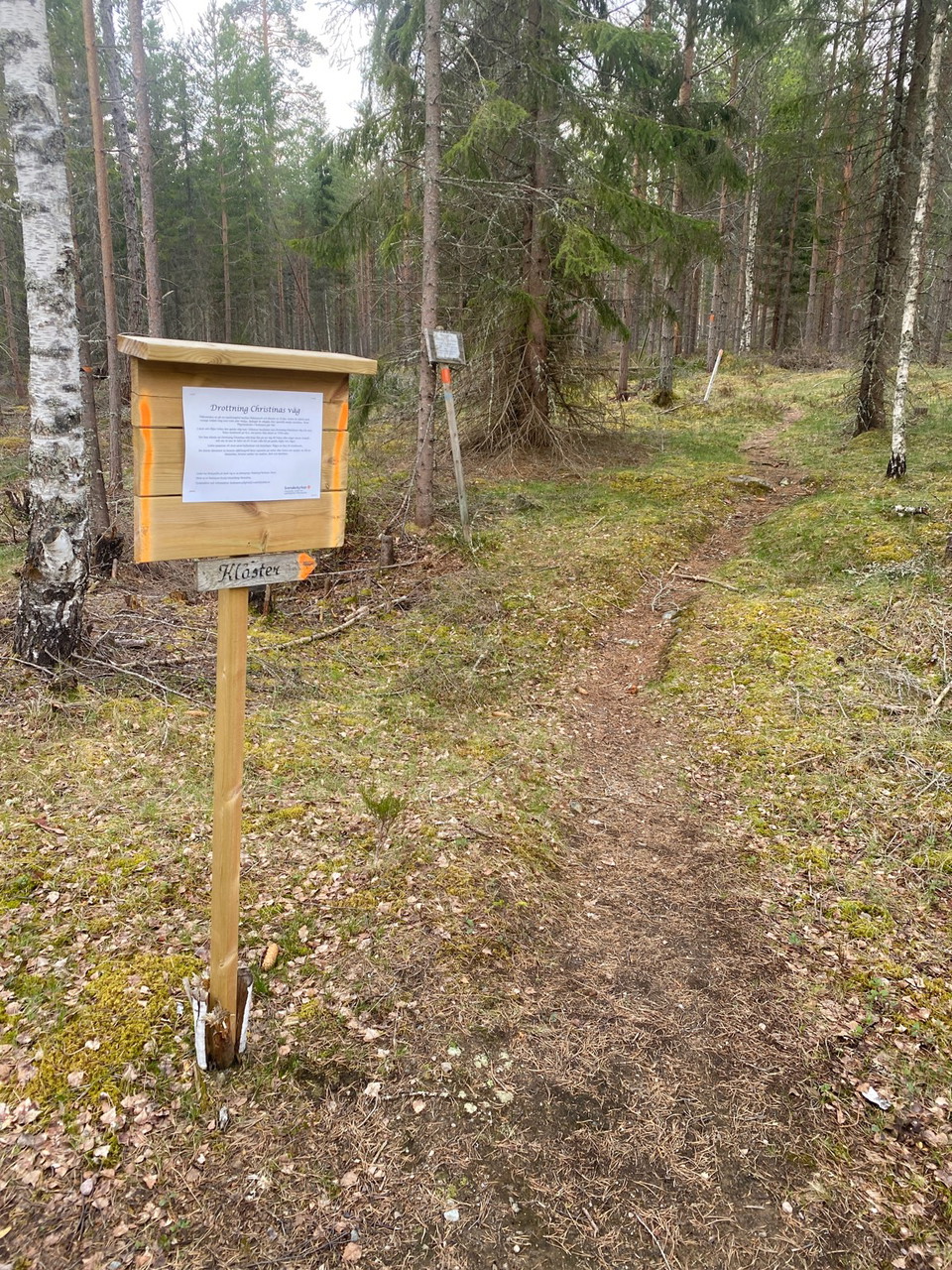
Drottning Kristinas väg is an old hiking trail marked on old maps in the forests between Kloster and Stjärnsund (about 10 km). According to tradition, Queen Kristina traveled on the road during her travels in these areas. The trail is marked with an orange…

Hiking

Banvallen i Garpenberg

  • Municipality: Hedemora
  • 6692.04 km away from you
  • 4.8 km
  • Difficulty: Green

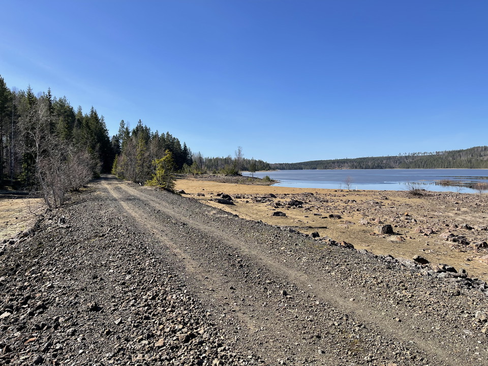
The embankment between Garpenberg and the village of Herrgården is a trail that is suitable for hiking, mountain biking or horseback riding. It is 5 km one way and largely follows the old embankment after the Gruvgården-Fors railway, which was in operation…

Pilgrim Trail

Hedemora Pilgrimsled

  • Municipality: Hedemora
  • 6673.87 km away from you
  • 130.0 km
  • Difficulty: Blue

Hedemora Husby and Garpenberg parish pilgrimage trail about 13 miles Distances: Hedemora-Garpenberg 24 km, Garpenberg-Stjärnsund 20 km, Stjärnsund via Långshyttan to Husby 20 km, Husby-Vikmanshyttan 26 km, Vikmanshyttan-Norn 16 km, Norn-Hedemora 22 km.

Best hiking trails in Hedemora

Naturkartan samlar de vandringslederna i Hedemora som är populärast bland våra användare.

Naturkartan

Open this in the app