
-
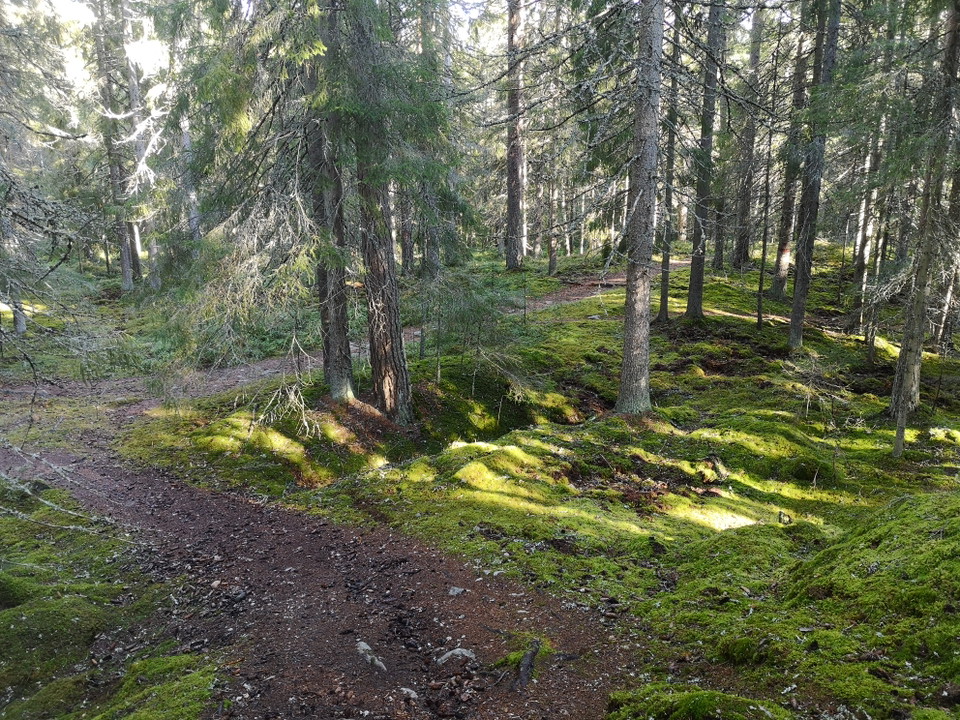
Längs med leden -
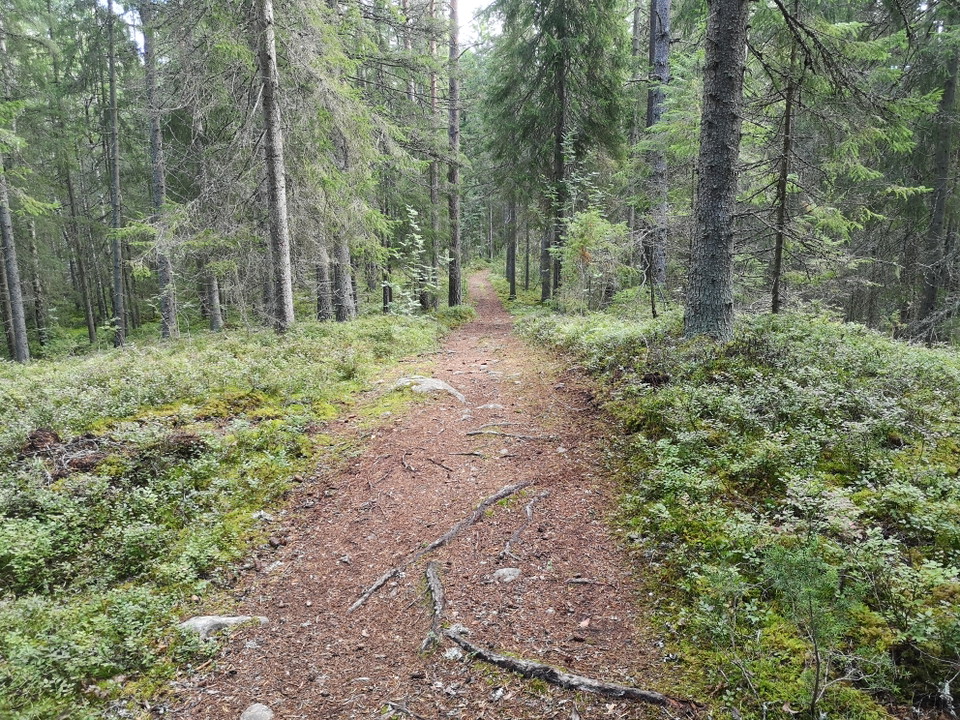
Längs med leden -
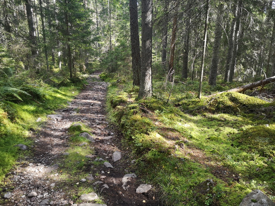
Längs med leden -
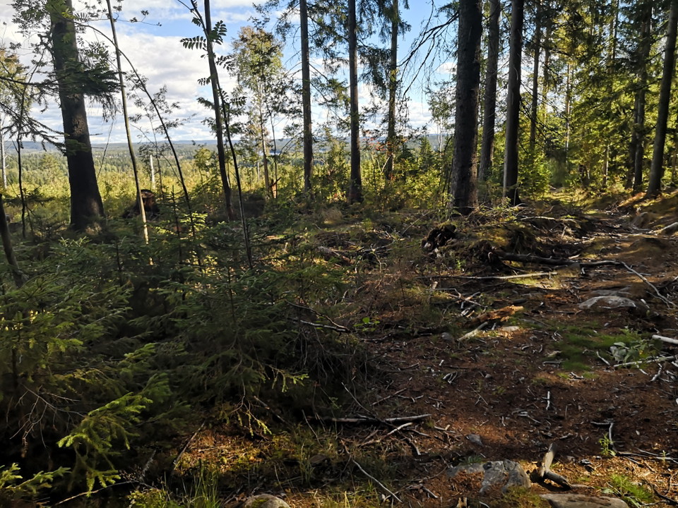
Längs med leden -
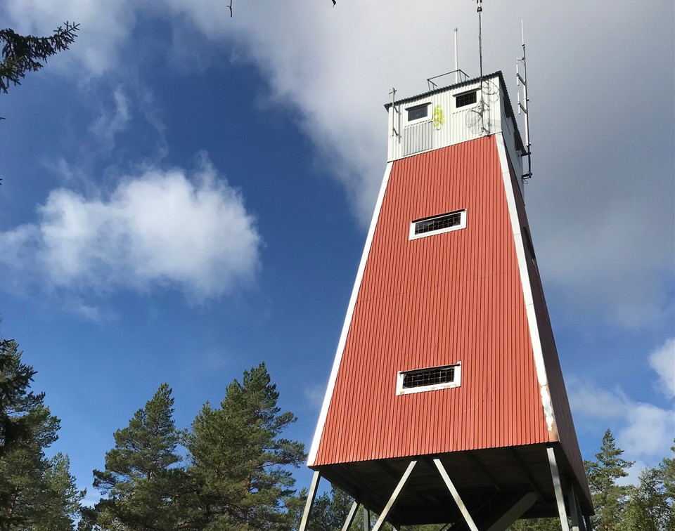
Utsiktstorn Uvberget
Uvberget Stora Bångtjärnsleden
- Hiking
- Circular trail
- County: Dalarnas län
- 6661.46 km away from you
Trail details
- Length 6.3 km
- Difficulty Red - demanding
Actions
Currently
NOTE! The trail lacks markings and signage.
Logging is taking place in the area, which can lead to inaccessible trails and partly difficult terrain.
Description
Hike up Uvberget with views, large forests, lakes, streams and cultural monuments.
The hiking trail Stora Bångtjärnsleden runs on cozy paths and old roads.
The best place to start and end your hike is at Öhmans hage, where parking is available.
Along the trail there are nice opportunities to take a break and enjoy a snack.
The trail is not marked
Activities And Facilities
- Hiking
- Circular trail
Directions
Address: Återvändsgränd Vintergatan, 77733 Smedjebacken
Contact
Email address
Siw Östlund
Organization logotype

Please be aware that some of these texts have been automatically translated.
I’ve been here 2

I want to go here 10


Questions & Answers
Ask a question to other Naturkartan users.
Reviews
0 reviews
- 5 :
- 4 :
- 3 :
- 2 :
- 1 :
Users images
No user images yet. Be the first to share!
