
-
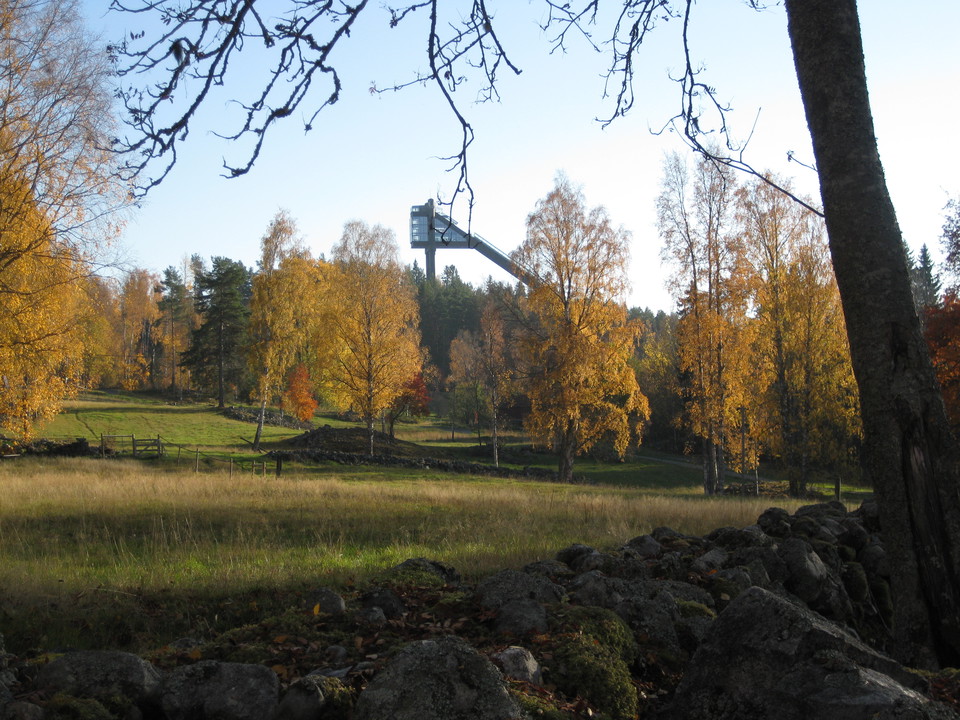
Foto: Länsstyrelsen Dalarna -
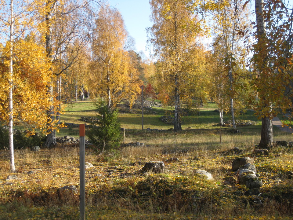
Foto: Länsstyrelsen Dalarna -
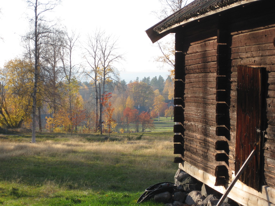
Foto: Länsstyrelsen Dalarna -
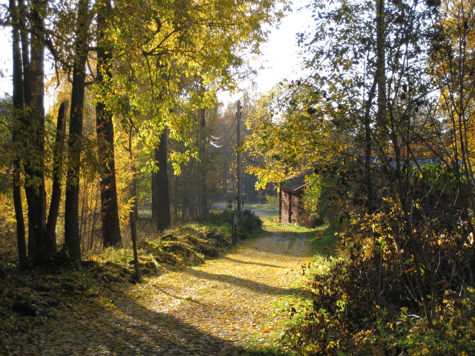
Foto: Länsstyrelsen Dalarna -
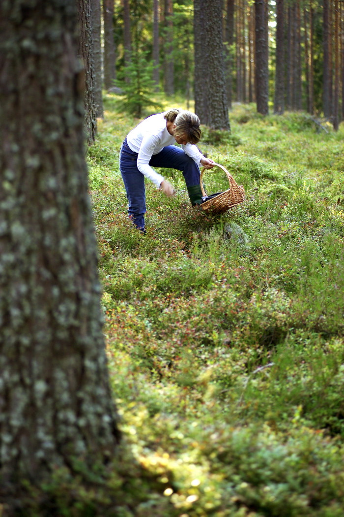
Photo: Trons -
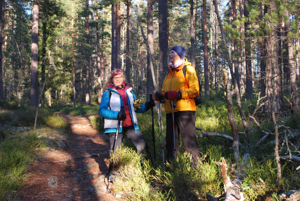
Lugnets naturreservat
- Nature reserve
- Recreation area
- Stroller accessible
- Near parking
- Near Public Transport
- Near toilet
- County: Dalarnas län
Actions
Currently
Due to the storm Johannes, there are many trees lying over the trails and in the forest in the reserve and it is difficult to get around in parts of the area. Work is underway to take care of the storm-felled trees, so pay attention and keep your distance from working machines (at least 90 meters). Watch out for fallen trees, leaning trunks, hanging branches and other signs of instability in the forest.
Description
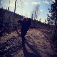
Lugnets nature reserve is a scenic area and the closest ski stadium is a small-scale agricultural landscape. Here you can see clear traces of the highest coastline. The woodland is dominated by dry and blocky pine forest, but there are also elements of blueberry pine forest. There are five mountains in the area and the largest height difference is 165 meters. In this reserve you will find both pine forests and deciduous trees. There is not much water in the area, but there are some streams, ponds and some marshland.
There are eight miles of marked hiking trail and twelve-mile trails / ski trails. In recent years, a number of mountain bike trails have been added.
There are plenty of ski and exercise trails in the reserve, hiking trails and sledding hills. There are also trails for riding, cycling and snowmobiling. In the area there are a number of barbecue areas, berths, heating cabins and other resting places.
For centuries, farmers have cultivated the earth here. Several cultivation ponds and stone walls remain today. Active landscape care is being carried out to preserve this cultural landscape.
Activities And Facilities
- Nature reserve
- Recreation area
Accessibility
- Stroller accessible
- Near parking
- Near Public Transport
- Near toilet
Facts
Founded: 1980
Size: 800 ha
Municipality: Falun
Manager: Falun municipality
Regulations
In the reserve it is not allowed to...
- damage the ground, trees and bushes or geological natural objects
- use motorized vehicles other than on designated roads, except for the maintenance of land or facilities and for driving on snow-covered ground with snowmobiles along marked snowmobile trails
- parking a motor vehicle or caravan in a place other than designated for this purpose
- ride on marked jogging trails, ski trails or paths (the manager ensures that all ski trail markings are only posted during the ski season)
- make fires other than in designated areas
- carry a loose dog, and
- enter closed ski trails
Contact
Email address
Kontaktcenter Falu kommun
Organization logotype
Please be aware that some of these texts have been automatically translated.
I’ve been here 33






I want to go here 16



Questions & Answers
Ask a question to other Naturkartan users.
Reviews
0 reviews
- 5 :
- 4 :
- 3 :
- 2 :
- 1 :
Users images
No user images yet. Be the first to share!
