
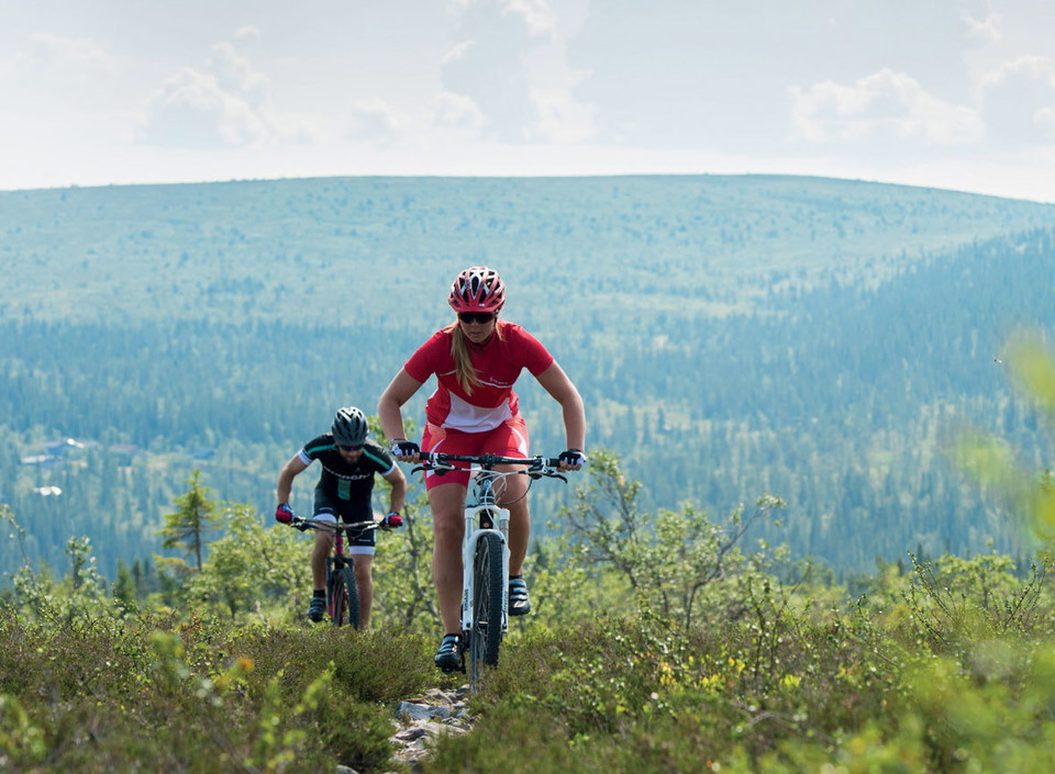
Hällaturen, 39 km (Hela rundan), Lindvallen
- Mountainbiking
- Biking
- County: Dalarnas län
- 6492.95 km away from you
Trail details
- Length 39.0 km
- Difficulty Blue - medium
Actions
Description
Follow the marked route towards the roundabout at Fjällvägen. Continue straight through the roundabout and follow what turns into a gravel road past Gubbmyren. After approx. 13 km, turn right at the first fourway crossing then continue straight forward in the second crossing. Continue straight ahead on the wider road which follows the Västerdalälven riverbank for approx. 12,5 km until you reach the northernmost bridge in Sälen. In order to get back up the mountain turn right at the bridge and follow the “Gamla Fjällvägen” road up the hill. This is quite a climb so try to save some energy for this section of the route.
Tip! Take time to visit Hällas naturreservat, and the place for bathing at Garpsätratjärn.
Activities And Facilities
- Mountainbiking
- Biking
Contact
Address
Destination Sälenfjällen är det gemensamma bolaget för utveckling av besöksnäringen i Sälenfjällen. Bolaget arbetar strategiskt med övergripande frågor för att skapa goda förutsättningar för besöksnäringen och därigenom bidra till ett ökat antal besökare året runt i Sälenfjällen. Läs mer på salenfjallen.se
Organization logotype

I’ve been here
I want to go here 7

Questions & Answers
Ask a question to other Naturkartan users.
Reviews
0 reviews
- 5 :
- 4 :
- 3 :
- 2 :
- 1 :
Users images
No user images yet. Be the first to share!
