Gyaskogen Elljusspår, Stehag Eslöv
- Municipality: Eslöv
- 6788.05 km away from you
- 1.4 km
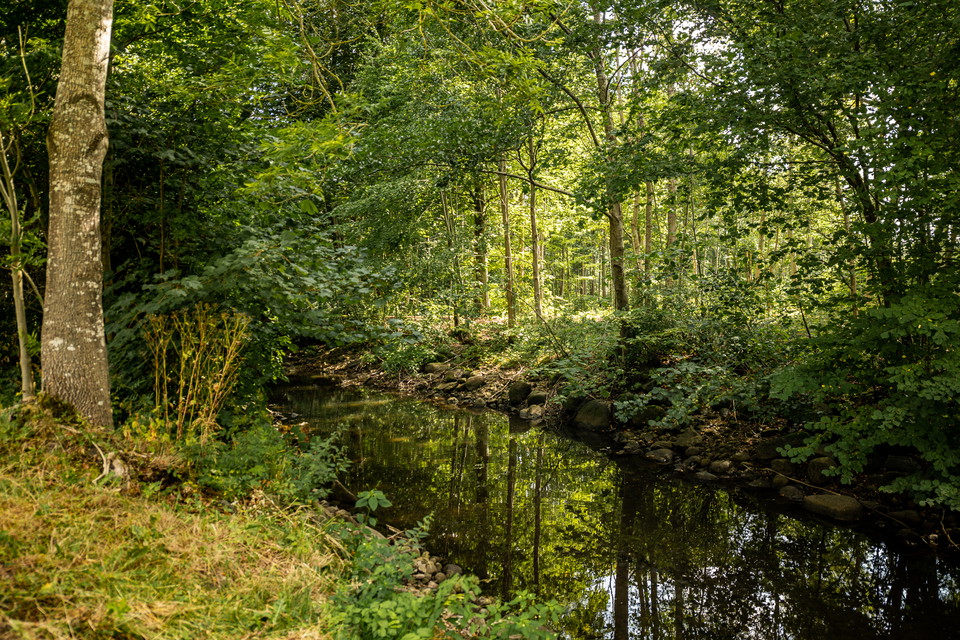
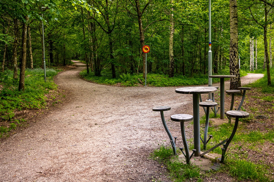
The electric light trail in Gyaskogen in the small community of Stehag is 1.4 km long.

Skåne län
Naturkartan samlar de löpspåren i Skåne län som är populärast bland våra användare.

The electric light trail in Gyaskogen in the small community of Stehag is 1.4 km long.
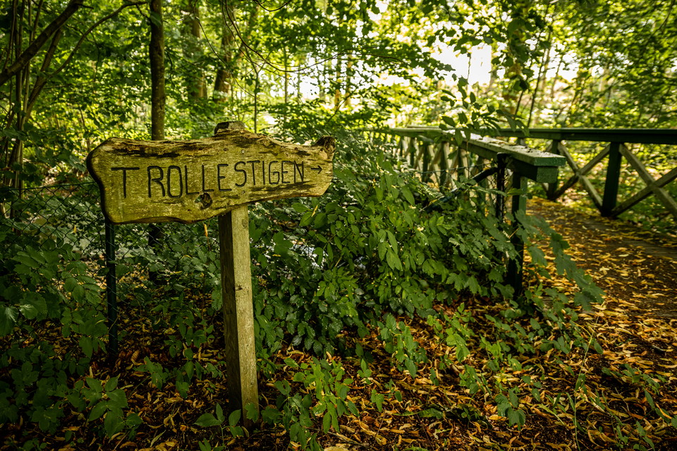
The path around Gullarp's village (Gullarpssvängen) is 1.2 kilometers. If you want to walk a longer route, continue along the Trollestigen path.
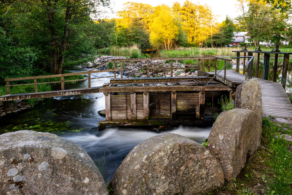
Saxåöglan is located about four kilometers northwest of Eslöv's urban area and is a scenic area along the winding Saxån river. In the middle of the area is Trollenäs Castle with its castle park. If you just walk south of the river, without entering Gullarp…
Trollestigen is a trail of3.5 km Trollenäs-Gullarp Trollestigen is located about four kilometers northwest of Eslöv's urban area and is a scenic area along the winding Saxån river. In the middle of the area is Trollenäs Castle with its castle park. The long…
The hiking trail Stenbrottsrundan is 10 km, you get to it at Stockamöllan. Next to Gunnaröd bridge you will find Gunnaröd campsitemed vindskydd, grillplats och toalett. Bird life is rich here, and there is a good chance of seeing oystercatchers, herons, whi…
The Vittserödsrundan hiking trail is 6 km, you get to it at Stockamöllan. Next to Gunnaröd bridge you will find Gunnaröd campsitemed vindskydd, grillplats och toalett. Bird life is rich here, and there is a good chance of seeing oystercatchers, herons, whit…
Bögerupsrundan is a 5 km hiking trail, you get to it from Stockamöllan or Bögerup. Next to Gunnaröd bridge you will find Gunnaröd campsitemed vindskydd, grillplats och toalett. Bird life is rich here, and there is a good chance of seeing oystercatchers, her…
The hiking trailUggleskriksrundan is 4 km, you get to it at Stockamöllan. Next to Gunnaröd bridge you will find Gunnaröd campsitemed vindskydd, grillplats och toalett. Bird life is rich here, and there is a good chance of seeing oystercatchers, herons, whit…
På Orupsberget hittar du vacker natur och spännande spår av äldre tider. Det finns gravhögar och övergivna gårdstomter gömda i grönskan. Högst upp på krönet tronar Orups gamla sanatorium. I Orups strövområde finns en mountainbikebana och fem strövslingor av…
Asphalt loop, 0.8 kilometer: Suitable loop for those who need a smooth surface and not too many slopes. Only start at Orup hospital. Follow the asphalt from the information board. On Orupsberget you will find beautiful nature and exciting traces of older ti…
In a wooded area adjacent to the Jeppavallen sports ground, there is an 800-meter-long lighted track. This is a popular trail for both runners and dog walkers. The exercise trail is also used extensively in school sports and by sports clubs. There is an out…
Vaxsjöslingan in Höör is marked in red and is 2.9 kilometers long. The loop runs through beautiful beech forest and pastures, passing by the bathing area and fishing piers. The surface is hardened gravel that is well suited for wheeled vehicles. As the loop…
The exercise trail is 750 meters long and connects to the walking and cycling path at Kvarnbäck's boule courts in the north and to Hälsans stig and Skåneleden in the south. The loop is mostly gravel, but there are wooden footbridges on some of the lower par…
Elbelyst motionsslinga i anslutning till utegym. Slingan går genom naturreservatet Hjärnarps prästskog. 1,2 km eller ta den extra rundan för 1,7 km.
Naturkartan samlar de löpspåren i Skåne län som är populärast bland våra användare.