
-
-
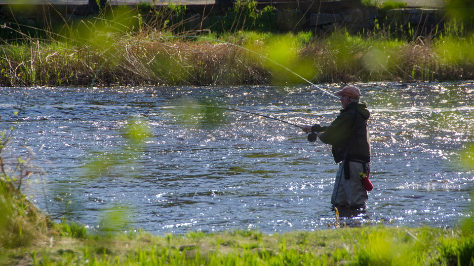
Photo: Robert Ekholm -
-
-
-
-
-
-
-
-
-
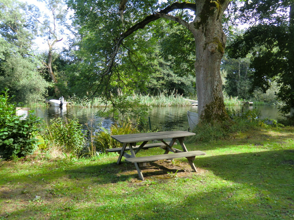
Walking trail, Laxaleden south
- Hiking
- County: Blekinge län
- 6845.85 km away from you
Trail details
- Length 3.6 km
- Difficulty Green - simple
Actions
Description
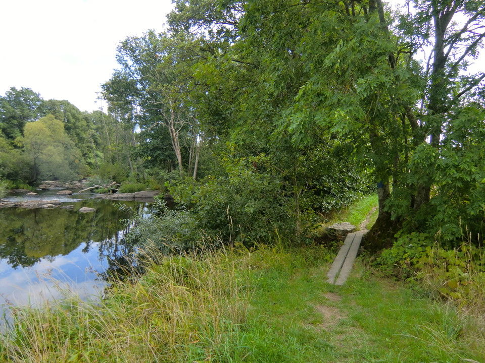
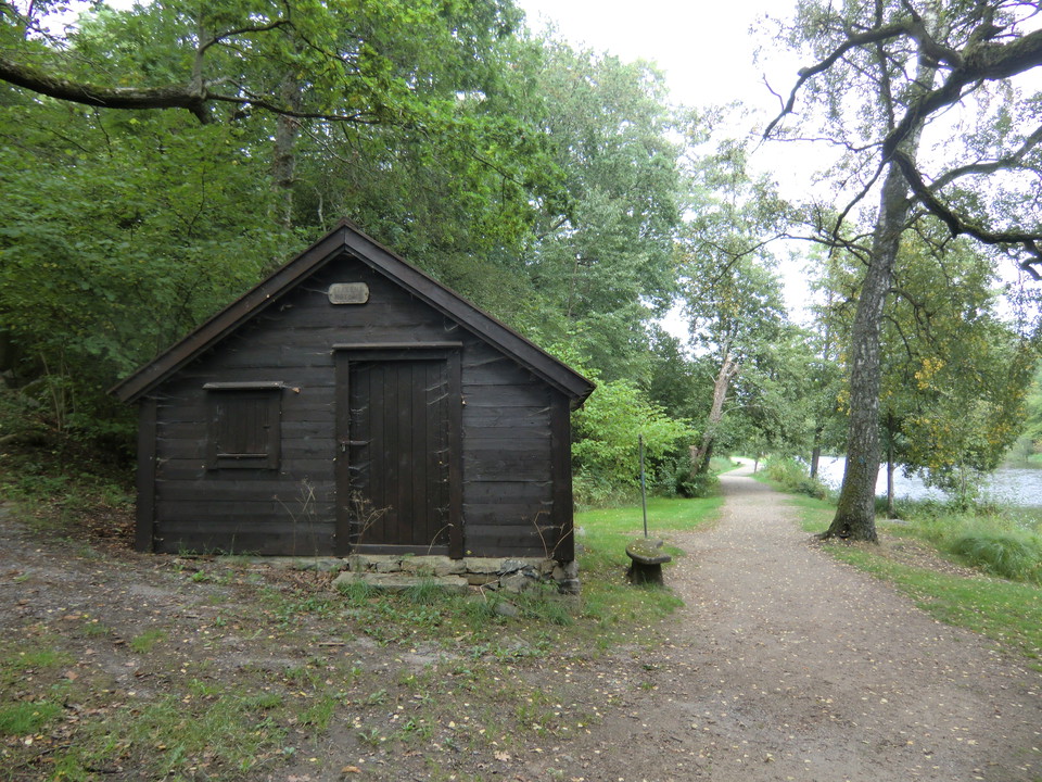
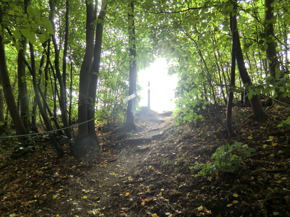
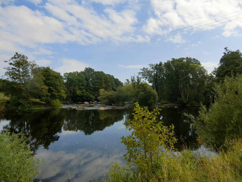
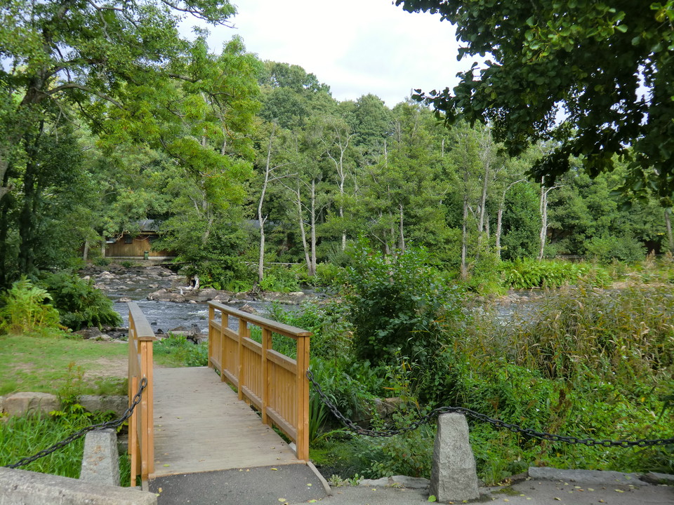
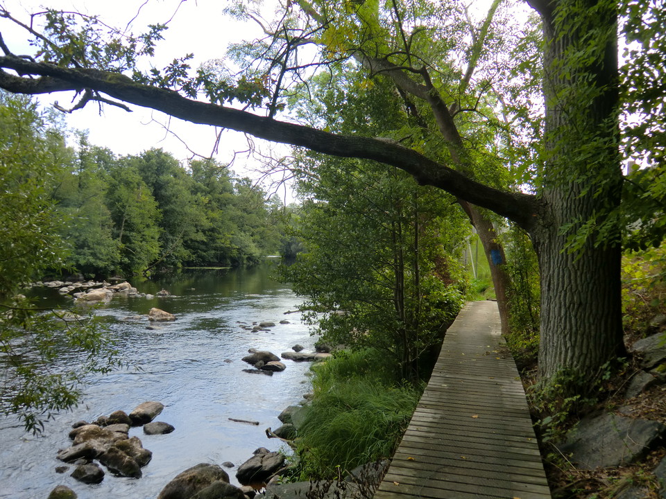
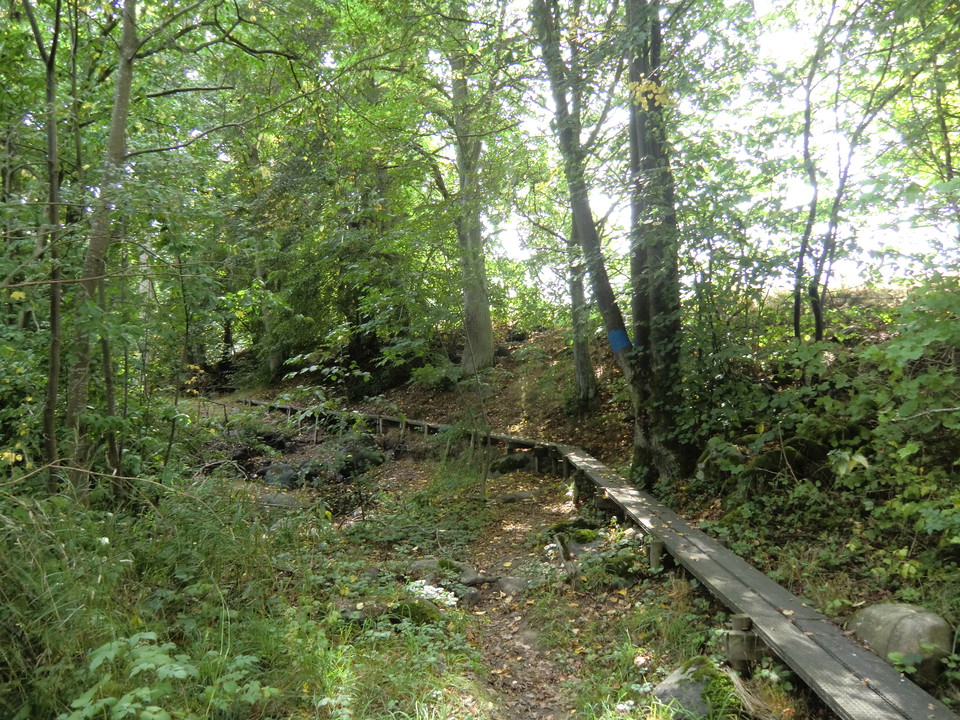
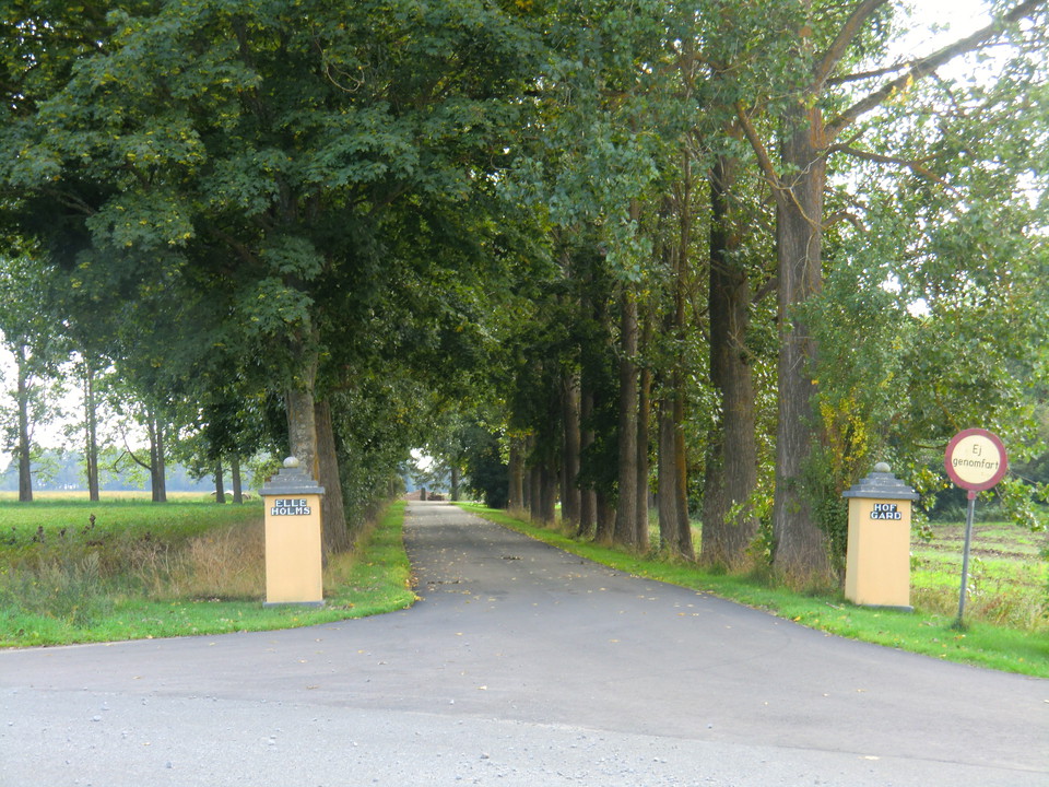
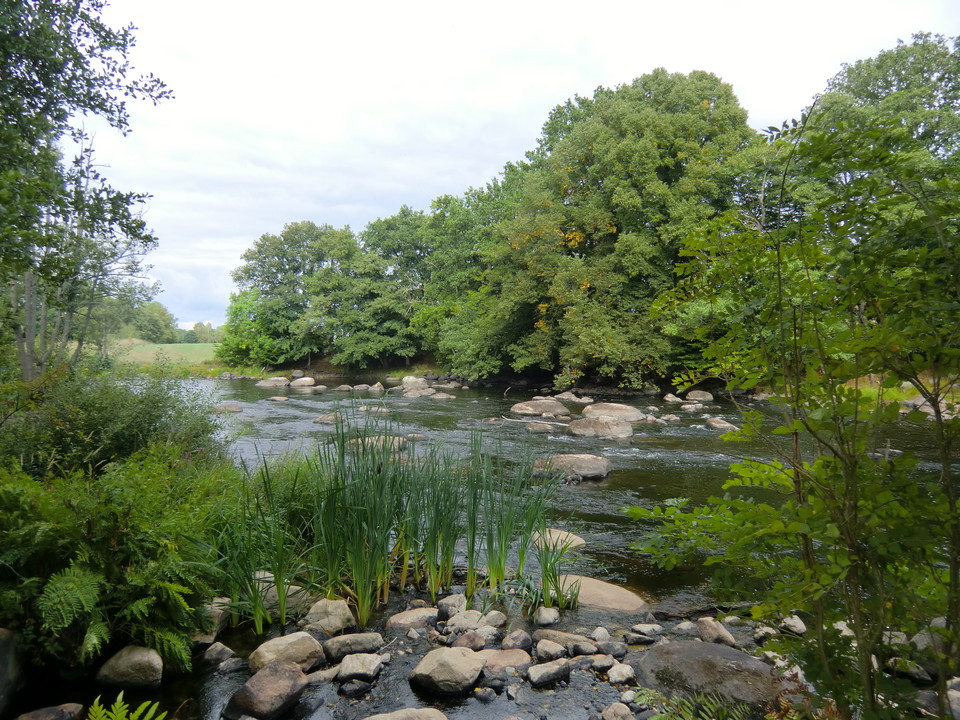
A walk that follows the Mörrumsån river, apart from at the south end where it runs through farmland. It passes the historic site of Elleholm and Mörrums Kronolaxfiske (read more via the links on the map).
Marked in blue all the way. There are fewer signposts in the south but the route there is easy to follow.
Activities And Facilities
- Hiking
Surface
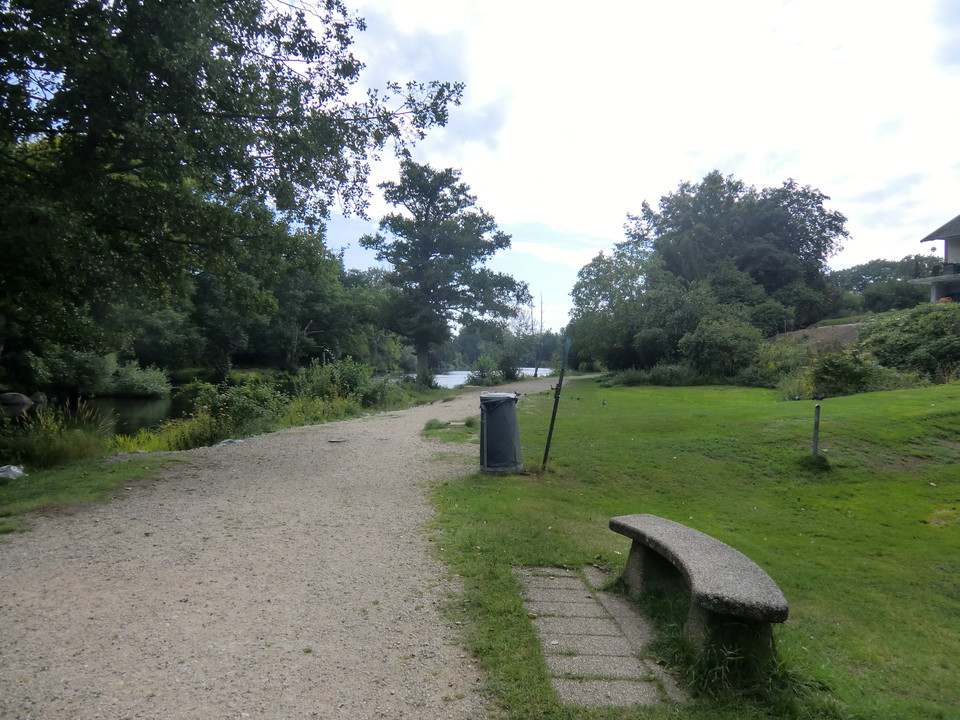
Gravel path in the north, wooden boardwalks and beach path in the middle and road at the far south. Disabled-friendly from Mörrums Kronolaxfiske down to the railway bridge over Mörrumsån. The rest of the route has many wooden boardwalks along steep beach edges.
Downloads
Contact
Email address
Karlshamns kommun Servicecenter
Organization logotype

Please be aware that some of these texts have been automatically translated.
I’ve been here 4


I want to go here 32


Questions & Answers
Ask a question to other Naturkartan users.
Reviews
0 reviews
- 5 :
- 4 :
- 3 :
- 2 :
- 1 :
Users images
No user images yet. Be the first to share!
