
-
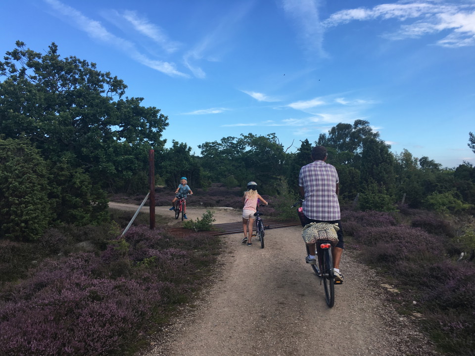
Cykeltur på Sturkö
Photo: Visit Karlskrona -
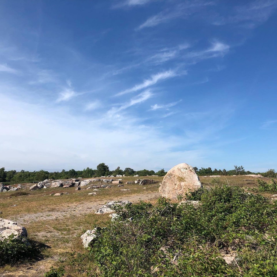
Uttorp Sturkö
Photo: Martin Karlsson -
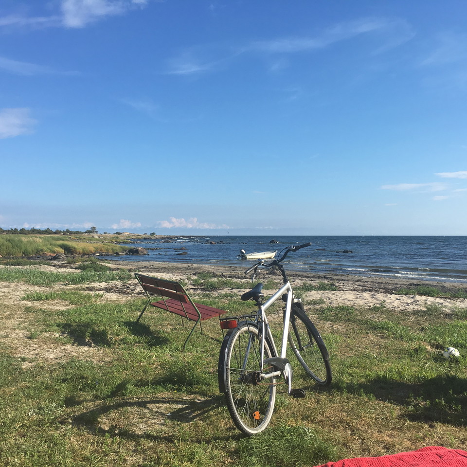
Cykeltur på Sturkö, Stensvik
Photo: Visit karlskrona
Cykel- och vandringsrunda - Uttorp
- Biking
- Hiking
- County: Blekinge län
- 6901.79 km away from you
Trail details
- Length 4.9 km
Actions
Description
The walk takes you round the Uttorp nature reserve, part of a walker-friendly area on southern Sturkö – the furthest south you can reach in the Blekinge archipelago without a boat. On a clear day you can spot the Utklippan lighthouse from the coastal heaths in the south. Further to the north, there are sparse oak trees and the beaches are narrow and mainly comprise stones and blocks interspersed with sand and gravel. There are toilets, a shelter and a barbecue area along the route and if you leave the marked trail, you will also find a beach.
Activities And Facilities
- Biking
- Hiking
Downloads
Contact
Address
Blekinge Arkipelag Kurpromenaden 4 372 36 Ronneby
Email address
Team ARK56
Organization logotype

I’ve been here 18

I want to go here 27
Questions & Answers
Ask a question to other Naturkartan users.
Reviews
0 reviews
- 5 :
- 4 :
- 3 :
- 2 :
- 1 :
Users images
No user images yet. Be the first to share!
