
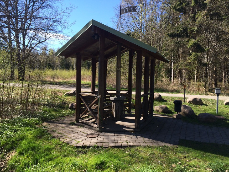
Råda Ås Vatten- & geologileden
- Hiking
- County: Västra Götalands län
Trail details
- Length 3.5 km
- Time 50 min
- Difficulty Green — simple
Actions
Description
Activities And Facilities
- Hiking
Directions
Public Transportation: Västtrafik bus 3, Resecentrum - Råda. Get off at the Råda Kyrka stop and walk about 350 meters to Råda Vy.
Car/Bike: Distance is approximately 7.5 km from Lidköping. Drive towards Råda School/Church.
Contact
Address
För frågor om ledens sträckning, drift och skötsel samt boenden, restauranger och andra besöksmål i området, kontakta Destination Läckö-Kinnekulle.
Email address
Destination Läckö-Kinnekulle
Organization logotype

I’ve been here
I want to go here
Questions & Answers
Ask a question to other Naturkartan users.
Reviews
0 reviews
- 5 :
- 4 :
- 3 :
- 2 :
- 1 :
Users images
No user images yet. Be the first to share!
