
Naturkartan on a New Technical Platform

Naturkartan has switched to a new technical platform. Service disruptions may occur on the website and in the app during the transition period. Please report any issues to emil@outdoormap.com.

Read more
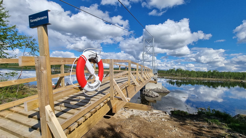
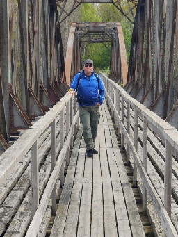
  • Tärnasjöbroarna.
    Tärnasjöbroarna.
    Photo: Tor Larsson
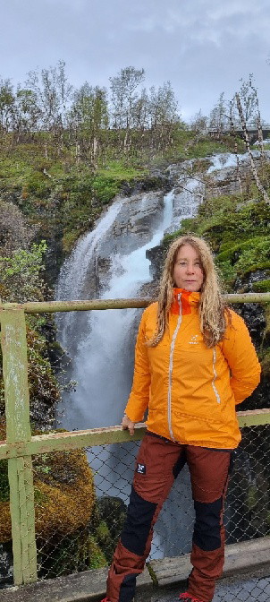
  • Beatrice Norrman
    Beatrice Norrman
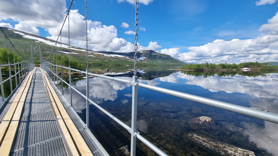
  • Tärnasjöbroarna.
    Tärnasjöbroarna.
    Photo: Tor Larsson
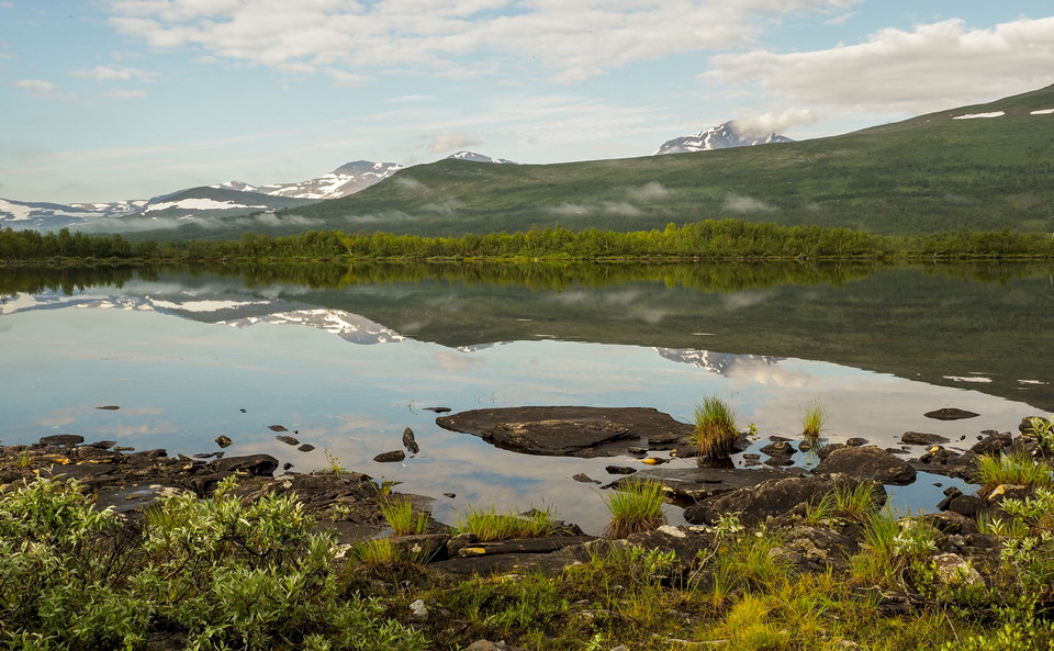
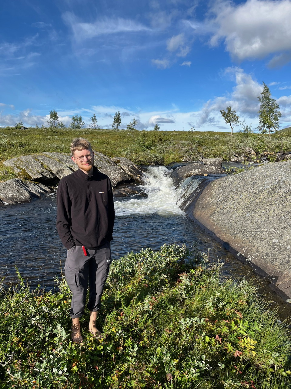
  • Tärnasjön.
    Tärnasjön.
    Photo: Beatrice Norrman

Tärnasjöstugorna - Syterstugan, Kungsleden

  • Hiking
of 5 stars

Trail details

  • Length 14.0 km

Actions

Description

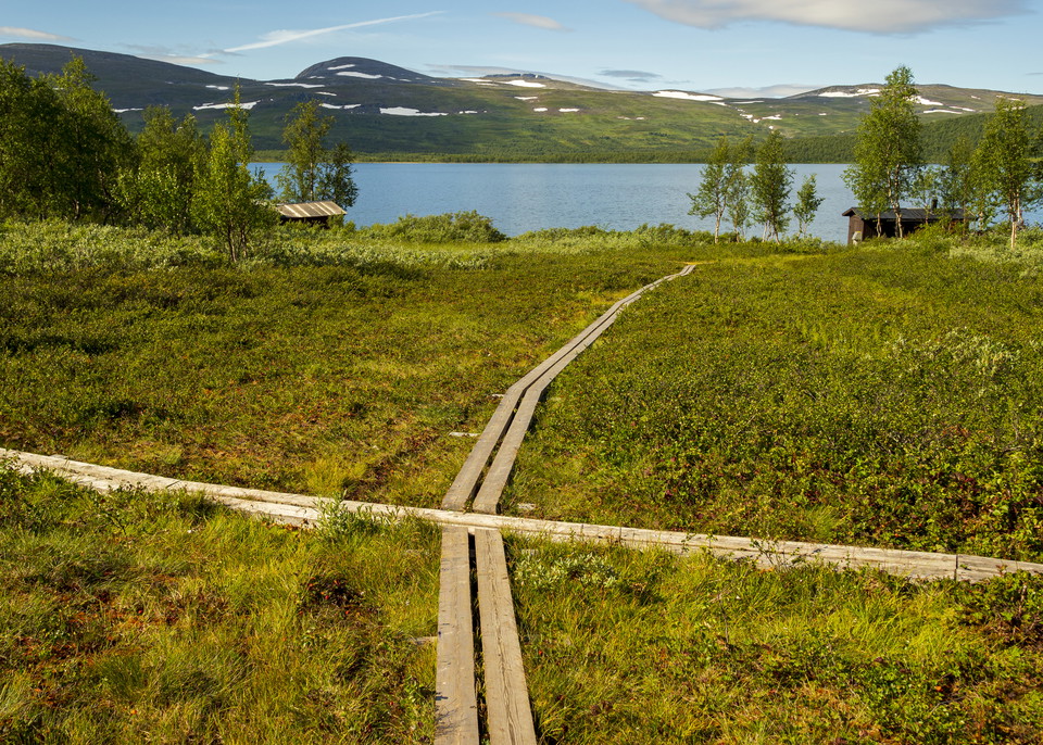
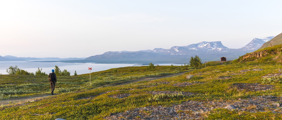
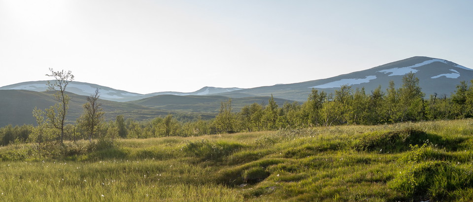
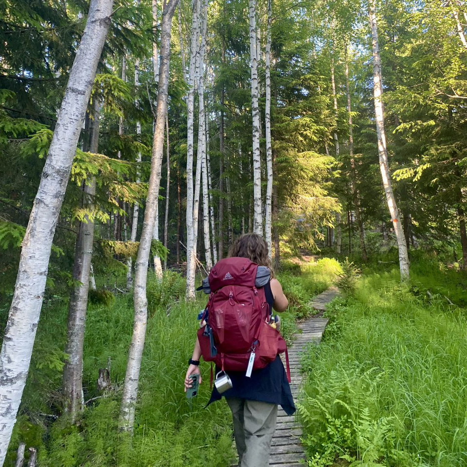
This is the start of a long, wonderful hike through the mountain birch forest along Lake Tärnasjön. On parts of the route the trail goes down to the beach.

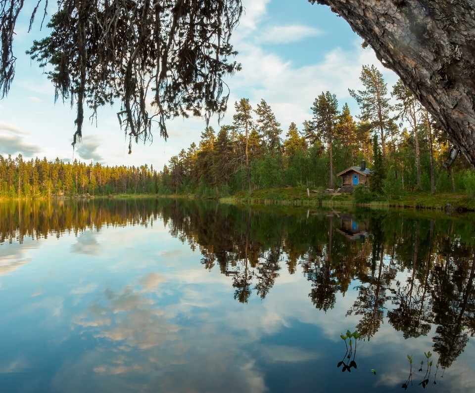
Lake Tärnasjön and its surroundings are well documented in botanical, natural geographic and ornithological inventories and research. The wetlands in the southern and northern parts of the lake are particularly valuable for bird life. Laiva, Guhttajávrrie and Skånjan are breeding grounds for the greenfinch, dunlin, redshank, snipe, dunlin and moorhen.

**Time: 4-6 hours

Weather forecast (at 12:00)

Loading...

Get here by public transport

Activities And Facilities

  • Hiking

Contact

Email address

Länsstyrelsen Västerbotten

Please be aware that some of these texts have been automatically translated.


I’ve been here 26

I want to go here 38

Questions & Answers

Ask a question to other Naturkartan users.

Reviews

0 reviews

of 5 stars

5 :
0.0%
4 :
0.0%
3 :
0.0%
2 :
0.0%
1 :
0.0%

Users images

No user images yet. Be the first to share!

Naturkartan

Open this in the app