
-
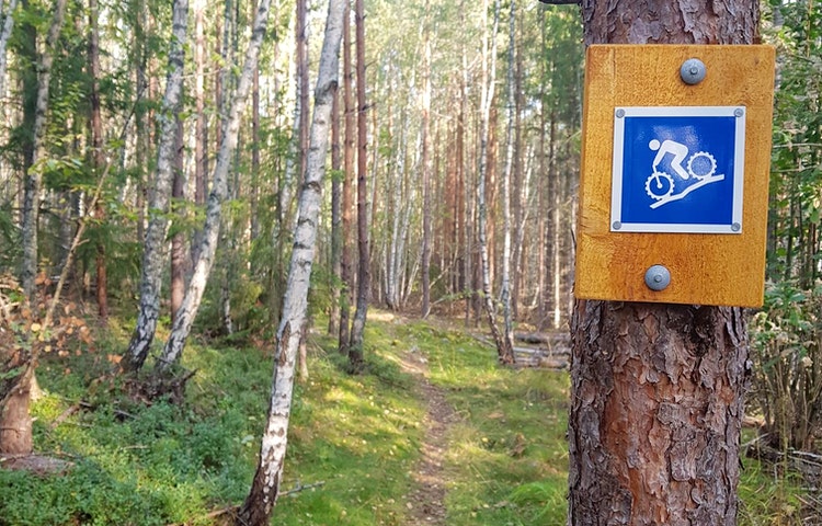
Cykelstig med ledmarkering.
Photo: Henrik de Joussineau
Downhillbana - Tower down
- Mountainbiking
- Near parking
- County: Stockholms län
- 6818.96 km away from you
Trail details
- Length 0.31 km
- Difficulty Red - demanding
Actions
Description
Technical trail with steep, fast, messy sections combined with sections on the slope and tight switchbacks. A little bit of everything for those who like to keep their tongue in their mouth.
Activities And Facilities
- Mountainbiking
Accessibility
- Near parking
Facts
Length: 310m
Drop height: 32m
Difficulty level: Red/Severe
Surface
Think about braking! Please do not lock the rear wheel. The trail is located on a pebble ridge that consists largely of sand, this makes it very sensitive.
Contact
Address
Ring: 08- 590 970 00 Felanmälan natur: ekontoret.upplandsvasby.se
Email address
Henrik de Joussineau
Organization logotype

Please be aware that some of these texts have been automatically translated.
I’ve been here
I want to go here
Questions & Answers
Ask a question to other Naturkartan users.
Reviews
0 reviews
- 5 :
- 4 :
- 3 :
- 2 :
- 1 :
Users images
No user images yet. Be the first to share!
