
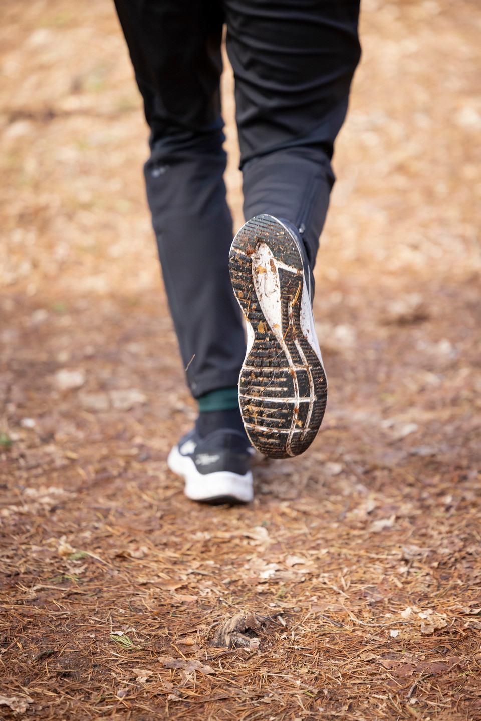
Orup strövområde, vit slinga, Höör
- Walking
- County: Skåne län
- 6796.47 km away from you
Trail details
- Length 0.8 km
Actions
Description
On Orupsberget you will find beautiful nature and exciting traces of older times. There are burial mounds and abandoned farm plots hidden in the greenery. At the top of the hill is the old Orup sanatorium.
Orup's hiking area has a mountain bike track and five hiking trails of varying lengths, in beautiful hilly terrain. The trails are suitable for walking. One is paved and works well for those who need a slightly smoother surface.
**White loop, 0.8 kilometers: Nature loop in the forest slightly hilly. Only start at Sätoftaskolan.
Activities And Facilities
- Walking
Contact
Email address
Destination Rönne å och Ringsjön
Organization logotype

Please be aware that some of these texts have been automatically translated.
I’ve been here
I want to go here 1

Questions & Answers
Ask a question to other Naturkartan users.
Reviews
0 reviews
- 5 :
- 4 :
- 3 :
- 2 :
- 1 :
Users images
No user images yet. Be the first to share!
